


14,1 km | 24 km-effort
Die: Ontdek de beste tochten: 116 stappen, 2 noords wandelen, 2 lopen en 2 trail. Al deze tochten, trajecten, routes en outdoor activiteiten zijn beschikbaar in onze SityTrail-apps voor smartphones en tablets.
Stappen


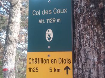
Stappen
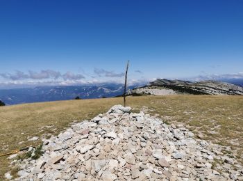
Stappen
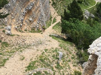
Stappen
Stappen
Stappen

Stappen
Stappen
Stappen
Stappen
Stappen
Stappen
Stappen
Stappen

Stappen
Stappen
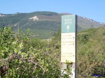
• Départ de Ausson route départemental n° 244, montée par les Granges (525m), Beauvoisin (803m), le Pas du Renard (955m...

Stappen

Stappen
Stappen
Stappen
20 tochten weergegeven op 122
Gratisgps-wandelapplicatie
 SityTrail
IGN / Geografische instituten
SityTrail World
De wereld gaat voor u open