


8,6 km | 10,5 km-effort
Essonne: Ontdek de beste tochten: 492 te voet, 4053 stappen, 277 noords wandelen, 294 lopen en 49 trail. Al deze tochten, trajecten, routes en outdoor activiteiten zijn beschikbaar in onze SityTrail-apps voor smartphones en tablets.
Stappen


• D’abord lieu de villégiature de la bourgeoisie parisienne, puis des ouvriers qui y cultivaient leurs jardins,Gif-sur-...
Stappen

Stappen
Stappen
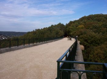
• Ceinture verte de l'Ile de France - Etape 4 sur 16 - De gare de Savigny-sur-Orge (RER C) a gare de Boussy-St-Antoine ...

Stappen
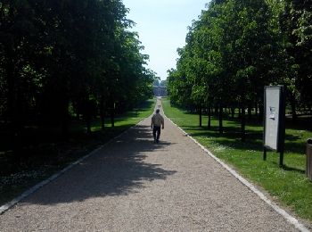
Te voet
Stappen
• Pas de difficulté sauf la descente sur Chamarande dans les blocs de grès. La partie entre Gillevoisin et la Pierre le...
Stappen
Stappen
Stappen
Stappen
Stappen

Stappen

Stappen
Stappen
Stappen
Stappen
Stappen

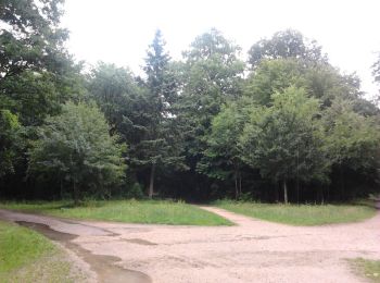
Te voet

Stappen
20 tochten weergegeven op 5140
Gratisgps-wandelapplicatie
 SityTrail
IGN / Geografische instituten
SityTrail World
De wereld gaat voor u open