


3 km | 3,8 km-effort
Balearen: Ontdek de beste tochten: 10 te voet, 192 stappen, 1 lopen en 3 trail. Al deze tochten, trajecten, routes en outdoor activiteiten zijn beschikbaar in onze SityTrail-apps voor smartphones en tablets.
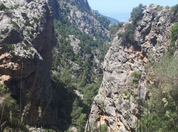
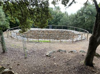
Te voet


• Symbol: schwarzes Dreieck bzw. Steinpyramiden
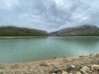
Te voet
• I haven't seen a green circle with black 8 there...!?

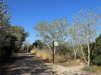
Stappen
Stappen
Stappen
• Pas de vue au sommet, belle vue sur la crête.
Stappen
Stappen
Stappen
Stappen
Stappen
Stappen
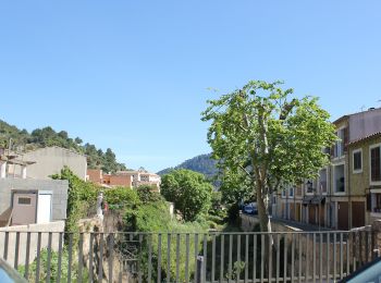
Te voet
Te voet
Te voet
Te voet
• This has not official name and no official route. The name:de and ref of route are from the book appear in source:name
Te voet
• This has not official name. It seems it has german unofficial name. Please, note that the hiking routes have no name ...
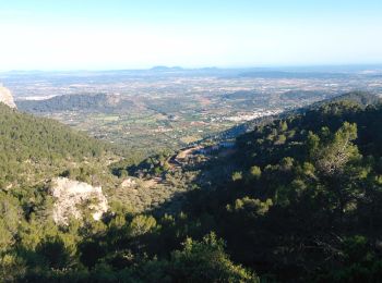
Te voet
Stappen
Stappen
Stappen
20 tochten weergegeven op 206
Gratisgps-wandelapplicatie
 SityTrail
IGN / Geografische instituten
SityTrail World
De wereld gaat voor u open