


14,5 km | 25 km-effort
Onbekend: Ontdek de beste tochten: 57 te voet, 399 stappen, 7 noords wandelen, 2 lopen en 2 trail. Al deze tochten, trajecten, routes en outdoor activiteiten zijn beschikbaar in onze SityTrail-apps voor smartphones en tablets.
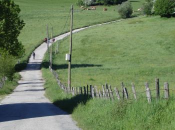
Stappen


Stappen
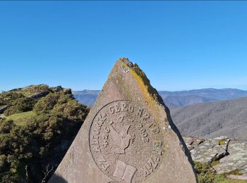
• Campagne vallonnée Pèlerins forgés au point culminant de l'étape Visite de Puente la Reina
Stappen
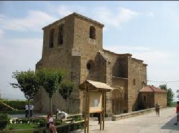
• Vallée et plaine cultivée de l'Arga. Ponts romans Visite de Pampelune
Stappen
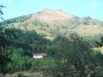
Te voet
• Trail created by Erroibarko bidexken sarea.
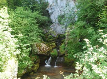
Te voet
• Symbol: white strip on top of blue strip
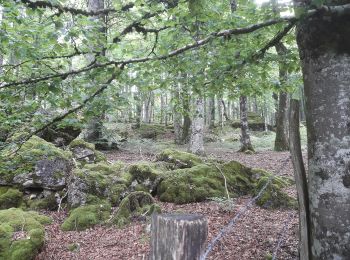
Te voet
• Symbol: white strip on top of purple strip
Te voet
• Symbol: white strip on top of green strip
Te voet
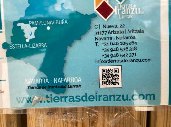
• Website: http://www.sierraurbasa.com/Hayedo%20encantado.html
Te voet
• Symbol: white strip on top of green strip
Te voet
• Symbol: white strip on top of green strip
Te voet
• Symbol: white strip on top of green strip
Te voet
• Symbol: white strip on top of green strip
Te voet
• Symbol: white strip on top of green strip
Te voet
• Symbol: white strip on top of green strip
Te voet
• Symbol: white strip on top of green strip
Stappen

Stappen
Stappen
Stappen
20 tochten weergegeven op 466
Gratisgps-wandelapplicatie
 SityTrail
IGN / Geografische instituten
SityTrail World
De wereld gaat voor u open