


8,8 km | 10,7 km-effort
Xaviña: Ontdek de beste tochten: 2 te voet. Al deze tochten, trajecten, routes en outdoor activiteiten zijn beschikbaar in onze SityTrail-apps voor smartphones en tablets.
Te voet


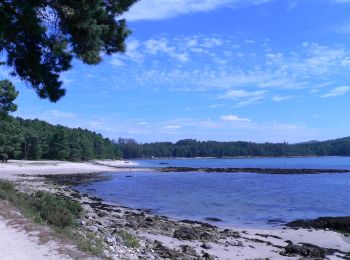
• O Camiño dos Faros es una ruta de senderismo de 200 kilómetros que une Malpica con Finisterre por el borde del mar en...
Te voet
• O Camiño dos Faros es una ruta de senderismo de 200 kilómetros que une Malpica con Finisterre por el borde del mar en...
2 tochten weergegeven op 2
Gratisgps-wandelapplicatie
 SityTrail
IGN / Geografische instituten
SityTrail World
De wereld gaat voor u open