


3,2 km | 4,2 km-effort
Albanyà: Ontdek de beste tochten: 5 stappen. Al deze tochten, trajecten, routes en outdoor activiteiten zijn beschikbaar in onze SityTrail-apps voor smartphones en tablets.
Stappen


Stappen
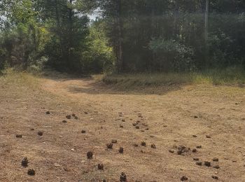
• Montée sur un chemin rocailleux et glissant. Bon dénivelé pour l'entraînement mais vue décevante à l'arrivée.
Stappen
• Montée sur un chemin rocailleux et glissant. Bon dénivelé pour l'entraînement mais vue décevante à l'arrivée.
Stappen
Stappen
5 tochten weergegeven op 5
Gratisgps-wandelapplicatie
 SityTrail
IGN / Geografische instituten
SityTrail World
De wereld gaat voor u open