


21 km | 23 km-effort
Landkreis Rotenburg (Wümme): Ontdek de beste tochten: 28 te voet. Al deze tochten, trajecten, routes en outdoor activiteiten zijn beschikbaar in onze SityTrail-apps voor smartphones en tablets.
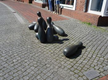
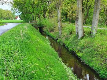
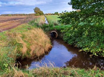
Te voet


• Trail created by Touristikverband Landkreis Rotenburg (Wümme). Symbol: weißes, stilisiertes N auf orangenem Grund, d...
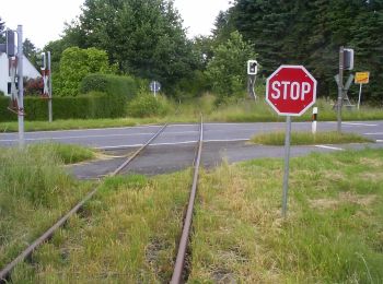
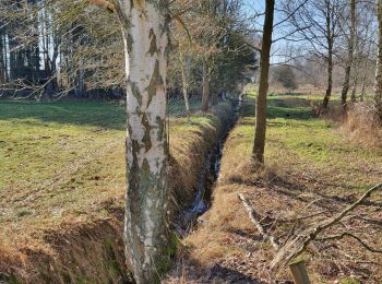
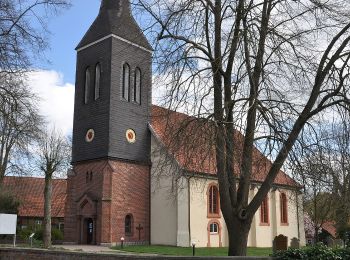
Te voet
• Trail created by Touristikverband Landkreis Rotenburg (Wümme). Symbol: weißes, stilisiertes N auf orangenem Grund, d...
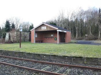
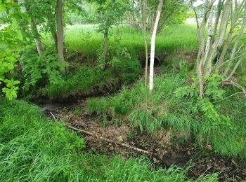
Te voet
• Trail created by Touristikverband Landkreis Rotenburg (Wümme). Symbol: weißes, stilisiertes N auf orangenem Grund, d...
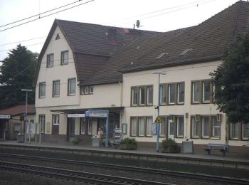
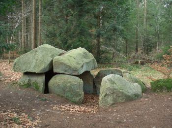
Te voet
• Trail created by Touristikverband Landkreis Rotenburg. Symbol: weißes, stilisiertes N auf orangenem Grund, darunter ...
Te voet
• Trail created by Touristikverband Landkreis Rotenburg. Symbol: weißes, stilisiertes N auf orangenem Grund, darunter ...
Te voet
• Trail created by Touristikverband Landkreis Rotenburg. Symbol: weißes, stilisiertes N auf orangenem Grund, darunter ...
Te voet
• Trail created by Touristikverband Landkreis Rotenburg. Symbol: weißes, stilisiertes N auf orangenem Grund, darunter ...

Te voet
• Trail created by Touristikverband Landkreis Rotenburg. Symbol: weißes, stilisiertes N auf orangenem Grund, darunter ...
Te voet
• Trail created by Touristikverband Landkreis Rotenburg. Symbol: weißes, stilisiertes N auf orangenem Grund, darunter ...
Te voet
• Trail created by Touristikverband Landkreis Rotenburg. Symbol: weißes, stilisiertes N auf orangenem Grund, darunter ...
Te voet
• Trail created by Touristikverband Landkreis Rotenburg. Symbol: weißes, stilisiertes N auf orangenem Grund, darunter ...
Te voet
• Trail created by Touristikverband Landkreis Rotenburg. Symbol: weißes, stilisiertes N auf orangenem Grund, darunter ...
Te voet
• Trail created by Touristikverband Landkreis Rotenburg (Wümme). Symbol: weißes, stilisiertes N auf orangenem Grund, d...
Te voet
• Trail created by Touristikverband Landkreis Rotenburg. Symbol: weißes, stilisiertes N auf orangenem Grund, darunter ...
Te voet
• Trail created by Touristikverband Landkreis Rotenburg. Symbol: weißes, stilisiertes N auf orangenem Grund, darunter ...
Te voet
• Trail created by Touristikverband Landkreis Rotenburg. Symbol: weißes, stilisiertes N auf orangenem Grund, darunter ...
Te voet
• Trail created by Touristikverband Landkreis Rotenburg. Symbol: weißes, stilisiertes N auf orangenem Grund, darunter ...
Te voet
• Trail created by Touristikverband Landkreis Rotenburg. Symbol: weißes, stilisiertes N auf orangenem Grund, darunter ...
Te voet
• Trail created by Touristikverband Landkreis Rotenburg. Symbol: weißes, stilisiertes N auf orangenem Grund, darunter ...
Te voet
• Trail created by Touristikverband Landkreis Rotenburg. Symbol: weißes, stilisiertes N auf orangenem Grund, darunter ...
20 tochten weergegeven op 28
Gratisgps-wandelapplicatie
 SityTrail
IGN / Geografische instituten
SityTrail World
De wereld gaat voor u open