


4,3 km | 5,7 km-effort
Frei-Laubersheim: Ontdek de beste tochten: 3 te voet. Al deze tochten, trajecten, routes en outdoor activiteiten zijn beschikbaar in onze SityTrail-apps voor smartphones en tablets.
Te voet


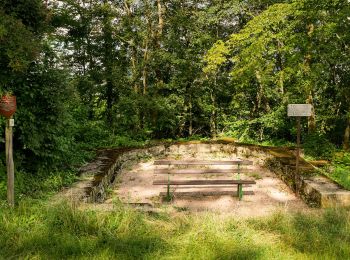
• Trail created by Gemeinde Frei-Laubersheim?. Wegmarkierungen scheinen nicht mehr gepflegt zu werden. Teils vermutete...
Te voet
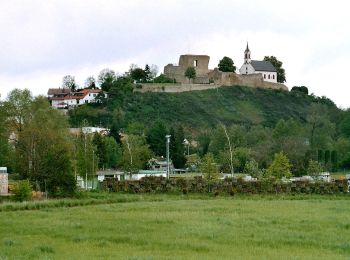
• Symbol: kleines Schreibschrift-h auf blau-grünem Grund
Te voet
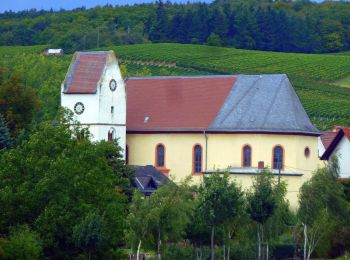
• Trail created by Gemeinde Frei-Laubersheim?. Wegmarkierungen scheinen nicht mehr gepflegt zu werden. Teils vermutete...
3 tochten weergegeven op 3
Gratisgps-wandelapplicatie
 SityTrail
IGN / Geografische instituten
SityTrail World
De wereld gaat voor u open