


18,2 km | 24 km-effort
Obernhof: Ontdek de beste tochten: 2 te voet. Al deze tochten, trajecten, routes en outdoor activiteiten zijn beschikbaar in onze SityTrail-apps voor smartphones en tablets.
Te voet


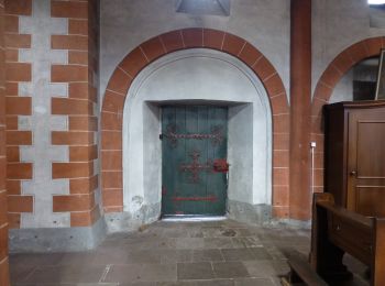
• Trail created by Tourist-Information Nassauer Land e.V.. Symbol: Gelbes Metallschild mit blauem Text "Vier-Täler-Tour"
Te voet
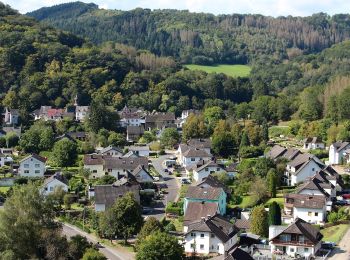
• Trail created by Tourist-Information Nassauer Land e.V.. Symbol: Gelbes Metallschild mit blauem Text "Gelbachhöhen-T...
2 tochten weergegeven op 2
Gratisgps-wandelapplicatie
 SityTrail
IGN / Geografische instituten
SityTrail World
De wereld gaat voor u open