


11,3 km | 14 km-effort
Geratal: Ontdek de beste tochten: 6 te voet. Al deze tochten, trajecten, routes en outdoor activiteiten zijn beschikbaar in onze SityTrail-apps voor smartphones en tablets.
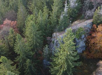
Te voet


• unvollständig Symbol: Flößerhaken
Te voet
• Trail created by Gemeinde Geraberg. Entlang des Themenweges zwei Großthermometer und Infotafeln Website: http://w...
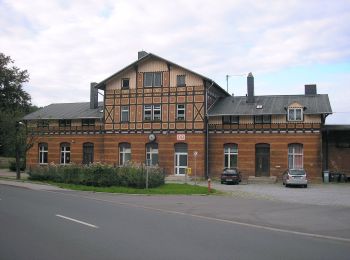
Te voet

Te voet
• Trail created by Geraberger Heimatfreunde.
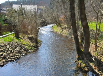
Te voet
• Trail created by Geraberger Heimatfreunde. Entlang des Themenweges Infotafeln und historische Grubensteine Websit...
Te voet
• Teilweise schlechte Kennzeichnung! Symbol: 3 stilisierte Tannen
6 tochten weergegeven op 6
Gratisgps-wandelapplicatie
 SityTrail
IGN / Geografische instituten
SityTrail World
De wereld gaat voor u open