![](/images/other/stat-length.png)
Arnstadt, Ilm-Kreis, Te voet: Top van de beste wandelroutes, trajecten, tochten en wandelingen
Arnstadt: Ontdek de beste tochten: 5 te voet. Al deze tochten, trajecten, routes en outdoor activiteiten zijn beschikbaar in onze SityTrail-apps voor smartphones en tablets.
De beste trajecten (5)
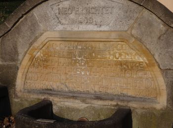
![Tocht Te voet Arnstadt - Claus Eichel - Weg - Photo](https://media.geolcdn.com/t/350/260/ec333f64-a1e8-4bc8-abe8-089452c8c754.jpeg&format=jpg&maxdim=2)
![Te voet Te voet](https://static1.geolcdn.com/sitytour/trail-icons/100.png)
Km
Te voet
![](/images/other/stat-length.png)
![](https://static1.geolcdn.com/siteimages/upload/files/1508320355ic_sort_den_pos_24dp.png)
![](https://static1.geolcdn.com/siteimages/upload/files/1508320355ic_sort_den_neg_24dp.png)
![](https://static1.geolcdn.com/siteimages/upload/files/16400158638029165_repeat_loop_refresh_sync_direction_icon.png)
• Symbol: blaues E in blauem C auf weißem Quadrat
![Tocht Te voet Arnstadt - Arnstadt-Gossel - Photo](https://media.geolcdn.com/t/350/260/ec333f64-a1e8-4bc8-abe8-089452c8c754.jpeg&format=jpg&maxdim=2)
![Te voet Te voet](https://static1.geolcdn.com/sitytour/trail-icons/100.png)
Km
Te voet
![](/images/other/stat-length.png)
![](https://static1.geolcdn.com/siteimages/upload/files/1508320355ic_sort_den_pos_24dp.png)
![](https://static1.geolcdn.com/siteimages/upload/files/1508320355ic_sort_den_neg_24dp.png)
![](https://static1.geolcdn.com/siteimages/upload/files/16400158638029165_repeat_loop_refresh_sync_direction_icon.png)
• Es fehlt noch der Verlauf durch oder in Höhe Espenfeld (hier schweigt sich die Markierung aus) und Alteburg-Arnstadt ...
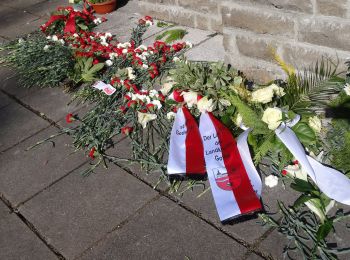
![Tocht Te voet Arnstadt - Geschichts- und Naturlehrpfad im Jonastal - Großer Wanderweg - Photo](https://media.geolcdn.com/t/350/260/2fba5aaa-73a6-4466-bf55-3e20d470421f.jpeg&format=jpg&maxdim=2)
![Te voet Te voet](https://static1.geolcdn.com/sitytour/trail-icons/100.png)
Km
Te voet
![](/images/other/stat-length.png)
![](https://static1.geolcdn.com/siteimages/upload/files/1508320355ic_sort_den_pos_24dp.png)
![](https://static1.geolcdn.com/siteimages/upload/files/1508320355ic_sort_den_neg_24dp.png)
![](https://static1.geolcdn.com/siteimages/upload/files/16400158638029165_repeat_loop_refresh_sync_direction_icon.png)
• Trail created by Jonastalverein. teilweise schlecht markiert oder Markierung stimmt nicht mit den vor Ort aufgestell...
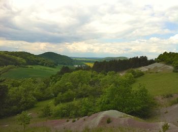
![Tocht Te voet Arnstadt - Otto-Knöpfer-Weg - Photo](https://media.geolcdn.com/t/350/260/f15bfe69-903c-421e-b479-6203abfefae4.jpeg&format=jpg&maxdim=2)
![Te voet Te voet](https://static1.geolcdn.com/sitytour/trail-icons/100.png)
Km
Te voet
![](/images/other/stat-length.png)
![](https://static1.geolcdn.com/siteimages/upload/files/1508320355ic_sort_den_pos_24dp.png)
![](https://static1.geolcdn.com/siteimages/upload/files/1508320355ic_sort_den_neg_24dp.png)
![](https://static1.geolcdn.com/siteimages/upload/files/16400158638029165_repeat_loop_refresh_sync_direction_icon.png)
• Trail created by Thüringer Burgenland Drei Gleichen. nicht fertig Symbol: Malerpalette
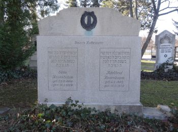
![Tocht Te voet Arnstadt - Arnstadt-Dornheim - Photo](https://media.geolcdn.com/t/350/260/69b5fe1b-e21d-422f-aedd-05d4722778de.jpeg&format=jpg&maxdim=2)
![Te voet Te voet](https://static1.geolcdn.com/sitytour/trail-icons/100.png)
Km
Te voet
![](/images/other/stat-length.png)
![](https://static1.geolcdn.com/siteimages/upload/files/1508320355ic_sort_den_pos_24dp.png)
![](https://static1.geolcdn.com/siteimages/upload/files/1508320355ic_sort_den_neg_24dp.png)
![](https://static1.geolcdn.com/siteimages/upload/files/16400158638029165_repeat_loop_refresh_sync_direction_icon.png)
• Trail created by Stadt Arnstadt. Symbol: Gelbes Dreieck auf weißem Grund
5 tochten weergegeven op 5
Gratisgps-wandelapplicatie