


57 km | 63 km-effort
Treptow-Köpenick: Ontdek de beste tochten: 5 te voet. Al deze tochten, trajecten, routes en outdoor activiteiten zijn beschikbaar in onze SityTrail-apps voor smartphones en tablets.
Te voet


• Trail created by Regionalparks Brandenburg. Gesamtlänge soll 140 km betragen Symbol: Roter Balken auf weißen Grund
Te voet
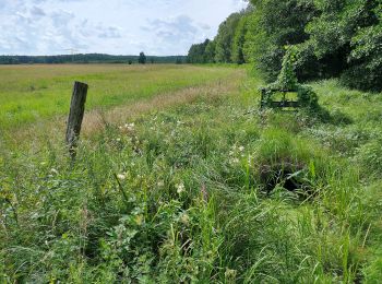
• Trail created by Tourismusverein Berlin Treptow-Köpenick e.V. Symbol: green bar on white ground
Te voet
• Symbol: green bar on white ground
Te voet
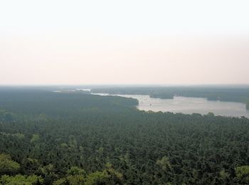
• Trail created by Tourismusverein Berlin Treptow-Köpenick e.V. Symbol: green bar on white ground

Te voet
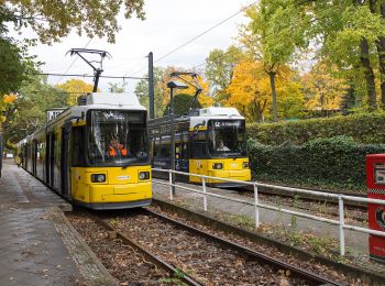
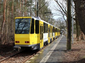
• Trail created by Tourismusverein Berlin Treptow-Köpenick e.V. Symbol: yellow bar on white ground
5 tochten weergegeven op 5
Gratisgps-wandelapplicatie
 SityTrail
IGN / Geografische instituten
SityTrail World
De wereld gaat voor u open