


24 km | 31 km-effort
Onbekend: Ontdek de beste tochten: 14 te voet. Al deze tochten, trajecten, routes en outdoor activiteiten zijn beschikbaar in onze SityTrail-apps voor smartphones en tablets.
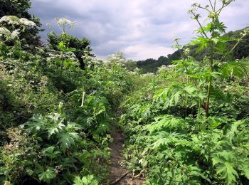
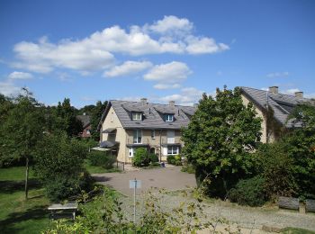
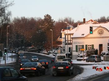
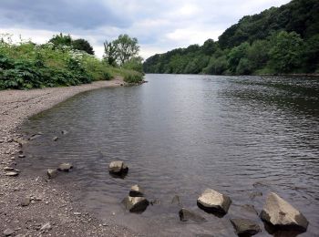
Te voet


• Trail created by Die Naturfreunde. Symbol: weißer Buchstabe "N" auf schwarzem Grund
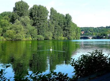
Te voet
• Symbol: A1
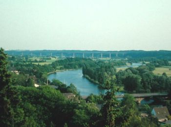
Te voet
• Trail created by Die Naturfreunde. Symbol: weißer Buchstabe "N" im Kreis auf schwarzem Grund
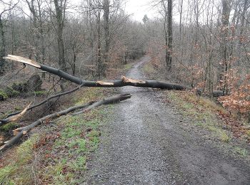
Te voet
• Trail created by Biologische Station Westliches Ruhrgebiet. Website: https://www.muelheim-ruhr.de/cms/bodenroute_b...
Te voet
• Trail created by Biologische Station Westliches Ruhrgebiet. Website: https://www.muelheim-ruhr.de/cms/bodenroute_b...
Te voet
• Trail created by Sauerländischer Gebirgsverein. Symbol: weißes Z auf schwarzem Grund
Te voet
• Symbol: weisses "N" auf schwarzem Grund
Te voet
• Symbol: A2
Te voet
• Symbol: filled rectangle
Te voet
Te voet

Te voet
• Trail created by Sauerländischer Gebirgsverein. Symbol: weißes T auf dem Kopf auf schwarzem Grund
Te voet
• Trail created by Sauerländischer Gebirgsverein. Symbol: M (weisses M in weissem Kreis auf schwarzem Grund)
Te voet
14 tochten weergegeven op 14
Gratisgps-wandelapplicatie
 SityTrail
IGN / Geografische instituten
SityTrail World
De wereld gaat voor u open