


15,5 km | 19,8 km-effort
Aken: Ontdek de beste tochten: 29 te voet, 60 stappen, 2 lopen en 1 trail. Al deze tochten, trajecten, routes en outdoor activiteiten zijn beschikbaar in onze SityTrail-apps voor smartphones en tablets.

Stappen


Stappen
Stappen

Stappen
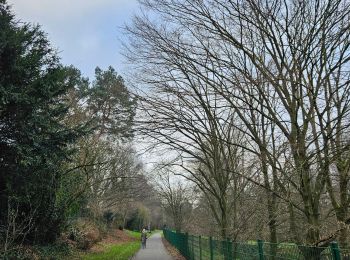
Te voet
• Arbeitsgruppe Wanderwege: Die unmittelbare Umgebung des Ortsteils für Wanderer zu erschließen, auszugestalten und mit...
Te voet
• vor Ort nicht als "6" gekennzeichnet, wurde wohl lediglich pro forma in das Routennetz aufgenommen Symbol: schwarzer...
Te voet
• Symbol: blauer Pfeil aufwärts

Te voet
• Trail created by Stadt Aachen, Fachbereich Umwelt und Fachbereich Stadtentwicklung und Verkehrsanlagen. weiter nach ...
Te voet
• Trail created by Stadt Aachen, Fachbereich Umwelt und Fachbereich Stadtentwicklung und Verkehrsanlagen.

Te voet
• Trail created by Stadt Aachen, Fachbereich Umwelt und Fachbereich Stadtentwicklung und Verkehrsanlagen.
Te voet
• Symbol: weisses Rechteck mit runder blau/grüner Flusslandschaft
Te voet
• Trail created by Stadt Aachen, Fachbereich Stadtentwicklung und Verkehrsanlagen; Stadt Herzogenrath, Fachbereich Stad...
Te voet
• Trail created by Stadt Aachen, Fachbereich Umwelt und Fachbereich Stadtentwicklung und Verkehrsanlagen. Website: h...
Te voet
• Trail created by Stadt Aachen, Fachbereich Umwelt und Fachbereich Stadtentwicklung und Verkehrsanlagen. Website: h...
Te voet
• Trail created by Stadt Aachen, Fachbereich Umwelt und Fachbereich Stadtentwicklung und Verkehrsanlagen. Website: h...
Stappen

Stappen
Stappen
Stappen
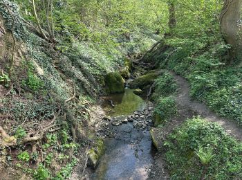
![Tocht Te voet Aken - [5] Itertalweg - Variante als Rundweg - Photo](https://media.geolcdn.com/t/350/260/484480c9-a885-4696-8e01-a48866a6fd77.jpeg&format=jpg&maxdim=2)
Te voet
20 tochten weergegeven op 91
Gratisgps-wandelapplicatie
 SityTrail
IGN / Geografische instituten
SityTrail World
De wereld gaat voor u open