


21 km | 23 km-effort
Königs Wusterhausen: Ontdek de beste tochten: 9 te voet. Al deze tochten, trajecten, routes en outdoor activiteiten zijn beschikbaar in onze SityTrail-apps voor smartphones en tablets.
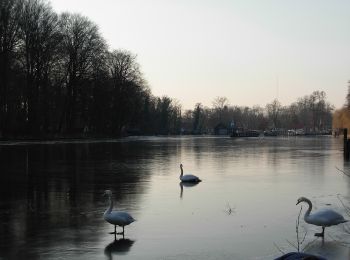
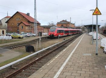
Te voet


• Trail created by Stadt Königs Wusterhausen. Genauen Verlauf in Klein Venedig (Neue Mühle) und Zernsdorf noch kontrol...
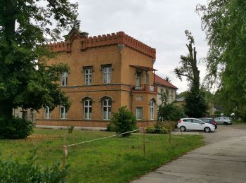
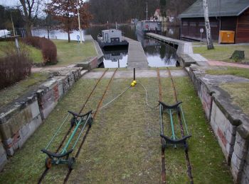
Te voet
• Trail created by Stadt Königs Wusterhausen.
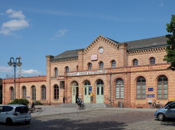
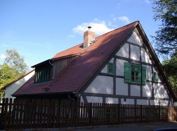
Te voet
• Trail created by Stadt Königs Wusterhausen.
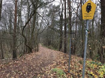
Te voet
• Trail created by Stadt Königs Wusterhausen.
Te voet
• Trail created by Stadt Königs Wusterhausen.
Te voet
• Trail created by Spandauer Wanderverein. Genauen Verlauf in Klein Venedig (Neue Mühle) und Zernsdorf noch kontrollie...
Te voet
• Trail created by Spandauer Wanderverein.
Te voet
Te voet
9 tochten weergegeven op 9
Gratisgps-wandelapplicatie
 SityTrail
IGN / Geografische instituten
SityTrail World
De wereld gaat voor u open