![](/images/other/stat-length.png)
- Tochten
- Te voet
- Germany
- Baden-Württemberg
- Landkreis Heilbronn
- Löwenstein
Löwenstein, Landkreis Heilbronn, Te voet: Top van de beste wandelroutes, trajecten, tochten en wandelingen
Löwenstein: Ontdek de beste tochten: 7 te voet. Al deze tochten, trajecten, routes en outdoor activiteiten zijn beschikbaar in onze SityTrail-apps voor smartphones en tablets.
De beste trajecten (7)
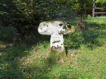
![Tocht Te voet Löwenstein - WT4 Auf den Spuren von Dichtern und Denkern - Photo](https://media.geolcdn.com/t/350/260/ae5751b6-758c-4a38-936e-071fc2c047d9.jpeg&format=jpg&maxdim=2)
![Te voet Te voet](https://static1.geolcdn.com/sitytour/trail-icons/100.png)
Km
Te voet
![](/images/other/stat-length.png)
![](https://static1.geolcdn.com/siteimages/upload/files/1508320355ic_sort_den_pos_24dp.png)
![](https://static1.geolcdn.com/siteimages/upload/files/1508320355ic_sort_den_neg_24dp.png)
![](https://static1.geolcdn.com/siteimages/upload/files/16400158638029165_repeat_loop_refresh_sync_direction_icon.png)
• Trail created by Touristikgemeinschaft HeilbronnerLand e. V..
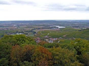
![Tocht Te voet Löwenstein - WT12 Wald- und Wiesentour Löwenstein - Photo](https://media.geolcdn.com/t/350/260/6bd3fd92-bf24-4b8d-be14-cff39aa1667b.jpeg&format=jpg&maxdim=2)
![Te voet Te voet](https://static1.geolcdn.com/sitytour/trail-icons/100.png)
Km
Te voet
![](/images/other/stat-length.png)
![](https://static1.geolcdn.com/siteimages/upload/files/1508320355ic_sort_den_pos_24dp.png)
![](https://static1.geolcdn.com/siteimages/upload/files/1508320355ic_sort_den_neg_24dp.png)
![](https://static1.geolcdn.com/siteimages/upload/files/16400158638029165_repeat_loop_refresh_sync_direction_icon.png)
• Trail created by Touristikgemeinschaft HeilbronnerLand e. V..
![Tocht Te voet Löwenstein - WT11 Weinbergtour Löwenstein - Photo](https://media.geolcdn.com/t/350/260/b8b7b22d-58fd-4a05-a58e-d9cadf37b783.jpeg&format=jpg&maxdim=2)
![Te voet Te voet](https://static1.geolcdn.com/sitytour/trail-icons/100.png)
Km
Te voet
![](/images/other/stat-length.png)
![](https://static1.geolcdn.com/siteimages/upload/files/1508320355ic_sort_den_pos_24dp.png)
![](https://static1.geolcdn.com/siteimages/upload/files/1508320355ic_sort_den_neg_24dp.png)
![](https://static1.geolcdn.com/siteimages/upload/files/16400158638029165_repeat_loop_refresh_sync_direction_icon.png)
• Trail created by Touristikgemeinschaft HeilbronnerLand e. V..
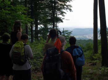
![Tocht Te voet Löwenstein - WT6 Natur pur rund um Wüstenrot - Photo](https://media.geolcdn.com/t/350/260/3c3a2fa5-b4bc-4220-866d-b9e7a515d823.jpeg&format=jpg&maxdim=2)
![Te voet Te voet](https://static1.geolcdn.com/sitytour/trail-icons/100.png)
Km
Te voet
![](/images/other/stat-length.png)
![](https://static1.geolcdn.com/siteimages/upload/files/1508320355ic_sort_den_pos_24dp.png)
![](https://static1.geolcdn.com/siteimages/upload/files/1508320355ic_sort_den_neg_24dp.png)
![](https://static1.geolcdn.com/siteimages/upload/files/16400158638029165_repeat_loop_refresh_sync_direction_icon.png)
• Trail created by Touristikgemeinschaft HeilbronnerLand e. V..
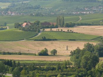
![Tocht Te voet Löwenstein - Löwensteiner Rundwanderweg F - Photo](https://media.geolcdn.com/t/350/260/726072c0-16f5-44db-8bcd-ecfc41c76a83.jpeg&format=jpg&maxdim=2)
![Te voet Te voet](https://static1.geolcdn.com/sitytour/trail-icons/100.png)
Km
Te voet
![](/images/other/stat-length.png)
![](https://static1.geolcdn.com/siteimages/upload/files/1508320355ic_sort_den_pos_24dp.png)
![](https://static1.geolcdn.com/siteimages/upload/files/1508320355ic_sort_den_neg_24dp.png)
![](https://static1.geolcdn.com/siteimages/upload/files/16400158638029165_repeat_loop_refresh_sync_direction_icon.png)
• Trail created by BHV Löwenstein. Symbol: schwarzes F auf weißem Grund
![Tocht Te voet Löwenstein - Löwensteiner Rundwanderweg G - Photo](https://media.geolcdn.com/t/350/260/726072c0-16f5-44db-8bcd-ecfc41c76a83.jpeg&format=jpg&maxdim=2)
![Te voet Te voet](https://static1.geolcdn.com/sitytour/trail-icons/100.png)
Km
Te voet
![](/images/other/stat-length.png)
![](https://static1.geolcdn.com/siteimages/upload/files/1508320355ic_sort_den_pos_24dp.png)
![](https://static1.geolcdn.com/siteimages/upload/files/1508320355ic_sort_den_neg_24dp.png)
![](https://static1.geolcdn.com/siteimages/upload/files/16400158638029165_repeat_loop_refresh_sync_direction_icon.png)
• Trail created by BHV Löwenstein. Symbol: schwarzes G auf weißem Grund
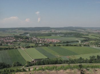
![Tocht Te voet Löwenstein - Obersulmer Rundwanderweg 5 - Photo](https://media.geolcdn.com/t/350/260/d310f759-3a9d-4e57-80d9-ba61e0f1c8b6.jpeg&format=jpg&maxdim=2)
![Te voet Te voet](https://static1.geolcdn.com/sitytour/trail-icons/100.png)
Km
Te voet
![](/images/other/stat-length.png)
![](https://static1.geolcdn.com/siteimages/upload/files/1508320355ic_sort_den_pos_24dp.png)
![](https://static1.geolcdn.com/siteimages/upload/files/1508320355ic_sort_den_neg_24dp.png)
![](https://static1.geolcdn.com/siteimages/upload/files/16400158638029165_repeat_loop_refresh_sync_direction_icon.png)
7 tochten weergegeven op 7
Gratisgps-wandelapplicatie