![](/images/other/stat-length.png)
- Tochten
- Te voet
- Germany
- Baden-Württemberg
- Alb-Donau-Kreis
Alb-Donau-Kreis, Baden-Württemberg, Te voet: Top van de beste wandelroutes, trajecten, tochten en wandelingen
Alb-Donau-Kreis: Ontdek de beste tochten: 9 te voet en 1 stappen. Al deze tochten, trajecten, routes en outdoor activiteiten zijn beschikbaar in onze SityTrail-apps voor smartphones en tablets.
De beste trajecten (10)
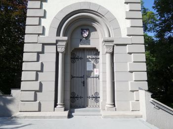
![Tocht Te voet Ehingen (Donau) - Naturerfahrungspfad - Photo](https://media.geolcdn.com/t/350/260/78327b84-8751-421f-8895-b8b375f22b96.jpeg&format=jpg&maxdim=2)
![Te voet Te voet](https://static1.geolcdn.com/sitytour/trail-icons/100.png)
Km
Te voet
![](/images/other/stat-length.png)
![](https://static1.geolcdn.com/siteimages/upload/files/1508320355ic_sort_den_pos_24dp.png)
![](https://static1.geolcdn.com/siteimages/upload/files/1508320355ic_sort_den_neg_24dp.png)
![](https://static1.geolcdn.com/siteimages/upload/files/16400158638029165_repeat_loop_refresh_sync_direction_icon.png)
• Trail created by Stadt Ehingen. Symbol: Weißer Storch auf grüner Kreisfläche
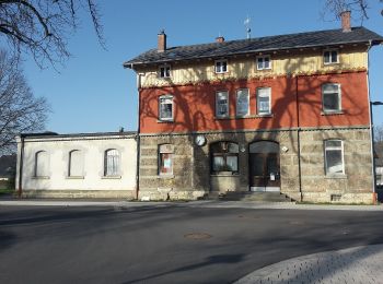
![Tocht Te voet Allmendingen - Nebenweg des Schwäbischen Albvereins (blaue Gabel) - Photo](https://media.geolcdn.com/t/350/260/f3194e71-a102-4d64-ab1d-87a6672832f4.jpeg&format=jpg&maxdim=2)
![Te voet Te voet](https://static1.geolcdn.com/sitytour/trail-icons/100.png)
Km
Te voet
![](/images/other/stat-length.png)
![](https://static1.geolcdn.com/siteimages/upload/files/1508320355ic_sort_den_pos_24dp.png)
![](https://static1.geolcdn.com/siteimages/upload/files/1508320355ic_sort_den_neg_24dp.png)
![](https://static1.geolcdn.com/siteimages/upload/files/16400158638029165_repeat_loop_refresh_sync_direction_icon.png)
• Trail created by Schwäbischer Albverein. Symbol: blaue Gabel auf weißem Grund
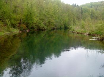
![Tocht Te voet Rechtenstein - Querweg des Schäbischen Albvereins (blaue Raute) - Photo](https://media.geolcdn.com/t/350/260/e72b5757-fd97-4569-b428-bca3451a3fea.jpeg&format=jpg&maxdim=2)
![Te voet Te voet](https://static1.geolcdn.com/sitytour/trail-icons/100.png)
Km
Te voet
![](/images/other/stat-length.png)
![](https://static1.geolcdn.com/siteimages/upload/files/1508320355ic_sort_den_pos_24dp.png)
![](https://static1.geolcdn.com/siteimages/upload/files/1508320355ic_sort_den_neg_24dp.png)
![](https://static1.geolcdn.com/siteimages/upload/files/16400158638029165_repeat_loop_refresh_sync_direction_icon.png)
• Trail created by Schwäbischer Albverein. Symbol: blaue Raute auf weißem Grund
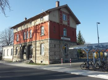
![Tocht Te voet Allmendingen - Nebenweg des Schwäbischen Albvereins (blaue Gabel) - Photo](https://media.geolcdn.com/t/350/260/555cce73-45ad-4173-9c8f-5025b21b13dc.jpeg&format=jpg&maxdim=2)
![Te voet Te voet](https://static1.geolcdn.com/sitytour/trail-icons/100.png)
Km
Te voet
![](/images/other/stat-length.png)
![](https://static1.geolcdn.com/siteimages/upload/files/1508320355ic_sort_den_pos_24dp.png)
![](https://static1.geolcdn.com/siteimages/upload/files/1508320355ic_sort_den_neg_24dp.png)
![](https://static1.geolcdn.com/siteimages/upload/files/16400158638029165_repeat_loop_refresh_sync_direction_icon.png)
• Trail created by Schwäbischer Albverein. Symbol: blaue Gabel auf weißem Grund
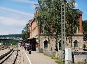
![Tocht Te voet Blaubeuren - Nebenweg des Schwäbischen Albvereins (rote Gabel) - Photo](https://media.geolcdn.com/t/350/260/df7e7341-b1d0-44cd-aa04-33e802cdf5a8.jpeg&format=jpg&maxdim=2)
![Te voet Te voet](https://static1.geolcdn.com/sitytour/trail-icons/100.png)
Km
Te voet
![](/images/other/stat-length.png)
![](https://static1.geolcdn.com/siteimages/upload/files/1508320355ic_sort_den_pos_24dp.png)
![](https://static1.geolcdn.com/siteimages/upload/files/1508320355ic_sort_den_neg_24dp.png)
![](https://static1.geolcdn.com/siteimages/upload/files/16400158638029165_repeat_loop_refresh_sync_direction_icon.png)
• Trail created by Schwäbischer Albverein.
![Tocht Te voet Allmendingen - Äußerer Zugangsweg des Schwäbischen Albvereins (blaues Dreieck) - Photo](https://media.geolcdn.com/t/350/260/f3194e71-a102-4d64-ab1d-87a6672832f4.jpeg&format=jpg&maxdim=2)
![Te voet Te voet](https://static1.geolcdn.com/sitytour/trail-icons/100.png)
Km
Te voet
![](/images/other/stat-length.png)
![](https://static1.geolcdn.com/siteimages/upload/files/1508320355ic_sort_den_pos_24dp.png)
![](https://static1.geolcdn.com/siteimages/upload/files/1508320355ic_sort_den_neg_24dp.png)
![](https://static1.geolcdn.com/siteimages/upload/files/16400158638029165_repeat_loop_refresh_sync_direction_icon.png)
• Trail created by Schwäbischer Albverein. Symbol: blaues Dreieck auf weißem Grund
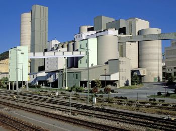
![Tocht Te voet Blaubeuren - Nebenweg des Schwäbischen Albvereins (rote Gabel) - Photo](https://media.geolcdn.com/t/350/260/46a7ba10-294a-4955-81bb-2e1030bcfe0b.jpeg&format=jpg&maxdim=2)
![Te voet Te voet](https://static1.geolcdn.com/sitytour/trail-icons/100.png)
Km
Te voet
![](/images/other/stat-length.png)
![](https://static1.geolcdn.com/siteimages/upload/files/1508320355ic_sort_den_pos_24dp.png)
![](https://static1.geolcdn.com/siteimages/upload/files/1508320355ic_sort_den_neg_24dp.png)
![](https://static1.geolcdn.com/siteimages/upload/files/16400158638029165_repeat_loop_refresh_sync_direction_icon.png)
• Trail created by Schwäbischer Albverein. Symbol: rotes liegendes Y
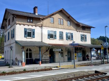
![Tocht Te voet Blaustein - Nebenweg des Schwäbischen Albvereins (rote Gabel) - Photo](https://media.geolcdn.com/t/350/260/431a4871-5d33-4cc1-a3ec-e6c405e648d1.jpeg&format=jpg&maxdim=2)
![Te voet Te voet](https://static1.geolcdn.com/sitytour/trail-icons/100.png)
Km
Te voet
![](/images/other/stat-length.png)
![](https://static1.geolcdn.com/siteimages/upload/files/1508320355ic_sort_den_pos_24dp.png)
![](https://static1.geolcdn.com/siteimages/upload/files/1508320355ic_sort_den_neg_24dp.png)
![](https://static1.geolcdn.com/siteimages/upload/files/16400158638029165_repeat_loop_refresh_sync_direction_icon.png)
• Trail created by Schwäbischer Albverein. Symbol: rote Gabel auf weiße, Grund
![Tocht Te voet Oberstadion - Querweg des Schwäbischen Albvereins (blauer Punkt) - Photo](https://media.geolcdn.com/t/350/260/ext.jpg?maxdim=2&url=https%3A%2F%2Fstatic1.geolcdn.com%2Fsiteimages%2Fupload%2Ffiles%2F1545311037marcheuse_200dpi.jpg)
![Te voet Te voet](https://static1.geolcdn.com/sitytour/trail-icons/100.png)
Km
Te voet
![](/images/other/stat-length.png)
![](https://static1.geolcdn.com/siteimages/upload/files/1508320355ic_sort_den_pos_24dp.png)
![](https://static1.geolcdn.com/siteimages/upload/files/1508320355ic_sort_den_neg_24dp.png)
![](https://static1.geolcdn.com/siteimages/upload/files/16400158638029165_repeat_loop_refresh_sync_direction_icon.png)
• Trail created by Schwäbische Albverein. Symbol: blauer Punkt auf weißem Grund
![Tocht Stappen Blaubeuren - Blaubeuren rando - Photo](https://media.geolcdn.com/t/350/260/ext.jpg?maxdim=2&url=https%3A%2F%2Fstatic1.geolcdn.com%2Fsiteimages%2Fupload%2Ffiles%2F1553511878bg_sport_marche.png)
![Stappen Stappen](https://static1.geolcdn.com/sitytour/trail-icons/101.png)
Km
Stappen
![](/images/other/stat-length.png)
![](https://static1.geolcdn.com/siteimages/upload/files/1508320355ic_sort_den_pos_24dp.png)
![](https://static1.geolcdn.com/siteimages/upload/files/1508320355ic_sort_den_neg_24dp.png)
![](https://static1.geolcdn.com/siteimages/upload/files/16400158638029165_repeat_loop_refresh_sync_direction_icon.png)
10 tochten weergegeven op 10
Gratisgps-wandelapplicatie