


5,5 km | 7,5 km-effort
Vaihingen an der Enz: Ontdek de beste tochten: 9 te voet. Al deze tochten, trajecten, routes en outdoor activiteiten zijn beschikbaar in onze SityTrail-apps voor smartphones en tablets.
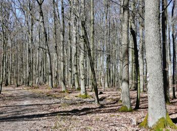
Te voet


• Trail created by Stadt Vaihingen an der Enz.
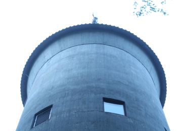
Te voet
• Trail created by Stadt Vaihingen an der Enz.
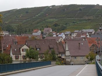
Te voet
• Trail created by Schwäbischer Albverein. SAV Blauer Balken, von - nach? Symbol: Blauer Balken auf weißem Grund
Te voet
• Trail created by Schwäbischer Albverein.
Te voet
• Trail created by Schwäbischer Albverein.
Te voet
• Trail created by Schwäbischer Albverein e.V. OG Markgröningen. Symbol: Rot markiert
Te voet
• Symbol: Runde weisse Plakette mit schwarzem Rand und Text "Riedberg Rundweg"
Te voet
• Trail created by Stadt Vaihingen an der Enz. Symbol: Runde weisse Plakette mit schwarzem Rand und Text "Vaihinger Ru...

Te voet
• Trail created by Kraichgau-Stromberg Tourismus e.V..
9 tochten weergegeven op 9
Gratisgps-wandelapplicatie
 SityTrail
IGN / Geografische instituten
SityTrail World
De wereld gaat voor u open