![](/images/other/stat-length.png)
- Tochten
- Te voet
- Germany
- Beieren
- Landkreis Neumarkt in der Oberpfalz
- Neumarkt in der Oberpfalz
Neumarkt in der Oberpfalz, Landkreis Neumarkt in der Oberpfalz, Te voet: Top van de beste wandelroutes, trajecten, tochten en wandelingen
Neumarkt in der Oberpfalz: Ontdek de beste tochten: 8 te voet. Al deze tochten, trajecten, routes en outdoor activiteiten zijn beschikbaar in onze SityTrail-apps voor smartphones en tablets.
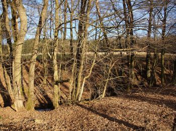
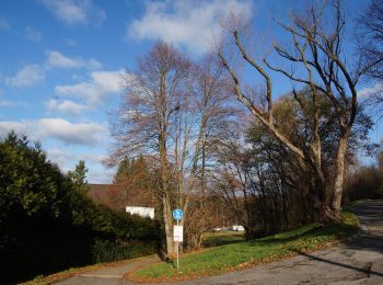
De beste trajecten (8)
![Tocht Te voet Neumarkt in der Oberpfalz - Steinbergrundweg - Photo](https://media.geolcdn.com/t/350/260/14183403-5978-4e91-8d98-1195450f91e0.jpeg&format=jpg&maxdim=2)
![Te voet Te voet](https://static1.geolcdn.com/sitytour/trail-icons/100.png)
Km
Te voet
![](/images/other/stat-length.png)
![](https://static1.geolcdn.com/siteimages/upload/files/1508320355ic_sort_den_pos_24dp.png)
![](https://static1.geolcdn.com/siteimages/upload/files/1508320355ic_sort_den_neg_24dp.png)
![](https://static1.geolcdn.com/siteimages/upload/files/16400158638029165_repeat_loop_refresh_sync_direction_icon.png)
• Trail created by nicht bekannt. abgeschlossen (Jan 2013 by cycling_zno) Symbol: Weiße 3 auf blauem Grund
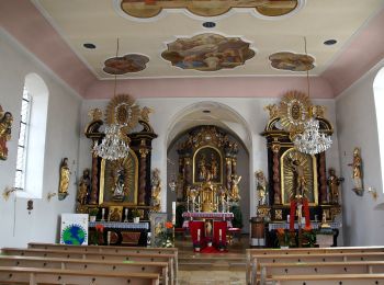
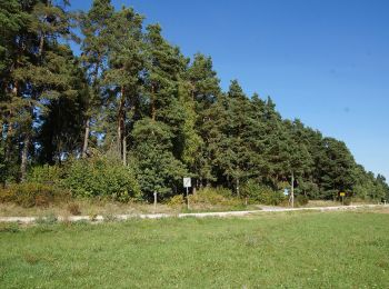
![Tocht Te voet Neumarkt in der Oberpfalz - Rundweg Pilsach – Bodenmühle - Photo](https://media.geolcdn.com/t/350/260/d5b570bb-9ba9-402e-98b6-b5d6524b5acc.jpeg&format=jpg&maxdim=2)
![Te voet Te voet](https://static1.geolcdn.com/sitytour/trail-icons/100.png)
Km
Te voet
![](/images/other/stat-length.png)
![](https://static1.geolcdn.com/siteimages/upload/files/1508320355ic_sort_den_pos_24dp.png)
![](https://static1.geolcdn.com/siteimages/upload/files/1508320355ic_sort_den_neg_24dp.png)
![](https://static1.geolcdn.com/siteimages/upload/files/16400158638029165_repeat_loop_refresh_sync_direction_icon.png)
• Trail created by Gemeinde Pilsach b.Neumarkt i.d.OPf.. abgeschlossen (Jan 2013 by cycling_zno) Symbol: Weiße 2 auf ...
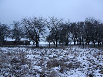
![Tocht Te voet Neumarkt in der Oberpfalz - Rundweg Labersricht - Photo](https://media.geolcdn.com/t/350/260/c6d01d6b-be47-4e57-a55a-8df0d848528a.jpeg&format=jpg&maxdim=2)
![Te voet Te voet](https://static1.geolcdn.com/sitytour/trail-icons/100.png)
Km
Te voet
![](/images/other/stat-length.png)
![](https://static1.geolcdn.com/siteimages/upload/files/1508320355ic_sort_den_pos_24dp.png)
![](https://static1.geolcdn.com/siteimages/upload/files/1508320355ic_sort_den_neg_24dp.png)
![](https://static1.geolcdn.com/siteimages/upload/files/16400158638029165_repeat_loop_refresh_sync_direction_icon.png)
• Trail created by nicht bekannt. abgeschlossen (Jan 2013 by cycling_zno) Symbol: Weiße 4 auf grünem Grund
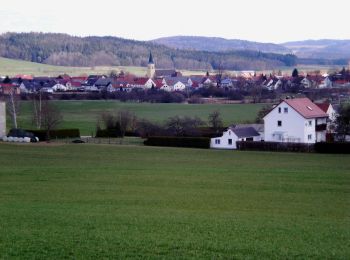
![Tocht Te voet Neumarkt in der Oberpfalz - TyrolsbergerWaldrundweg - Photo](https://media.geolcdn.com/t/350/260/1e967018-a4fc-44ba-bcfa-c479fca281f8.jpeg&format=jpg&maxdim=2)
![Te voet Te voet](https://static1.geolcdn.com/sitytour/trail-icons/100.png)
Km
Te voet
![](/images/other/stat-length.png)
![](https://static1.geolcdn.com/siteimages/upload/files/1508320355ic_sort_den_pos_24dp.png)
![](https://static1.geolcdn.com/siteimages/upload/files/1508320355ic_sort_den_neg_24dp.png)
![](https://static1.geolcdn.com/siteimages/upload/files/16400158638029165_repeat_loop_refresh_sync_direction_icon.png)
• Trail created by Gemeinde Berngau. abgeschlossen (Jan 2013 by cycling_zno) Symbol: Weisse 4 auf grünem Grund
![Tocht Te voet Neumarkt in der Oberpfalz - Buchberg Rundweg - Photo](https://media.geolcdn.com/t/350/260/cc0e3cfb-7d14-4f84-80d2-42ff021d0f7d.jpeg&format=jpg&maxdim=2)
![Te voet Te voet](https://static1.geolcdn.com/sitytour/trail-icons/100.png)
Km
Te voet
![](/images/other/stat-length.png)
![](https://static1.geolcdn.com/siteimages/upload/files/1508320355ic_sort_den_pos_24dp.png)
![](https://static1.geolcdn.com/siteimages/upload/files/1508320355ic_sort_den_neg_24dp.png)
![](https://static1.geolcdn.com/siteimages/upload/files/16400158638029165_repeat_loop_refresh_sync_direction_icon.png)
• Trail created by DAV Neumarkt. abgeschlossen (Jan 2013 by cycling_zno) Symbol: Schwarzer Kreis auf gelbem Grund
![Tocht Te voet Neumarkt in der Oberpfalz - Wolfsteinweg - Photo](https://media.geolcdn.com/t/350/260/fffd8676-eceb-47a8-bd0a-b752205d9432.jpeg&format=jpg&maxdim=2)
![Te voet Te voet](https://static1.geolcdn.com/sitytour/trail-icons/100.png)
Km
Te voet
![](/images/other/stat-length.png)
![](https://static1.geolcdn.com/siteimages/upload/files/1508320355ic_sort_den_pos_24dp.png)
![](https://static1.geolcdn.com/siteimages/upload/files/1508320355ic_sort_den_neg_24dp.png)
![](https://static1.geolcdn.com/siteimages/upload/files/16400158638029165_repeat_loop_refresh_sync_direction_icon.png)
• Trail created by nicht bekannt. abgeschlossen (Jan 2013 by cycling_zno) Symbol: Weiße 5 auf blauem Grund
![Tocht Te voet Neumarkt in der Oberpfalz - Graßahofer Rundweg - Photo](https://media.geolcdn.com/t/350/260/e3028544-5711-42d9-b331-2eb2e1b413b1.jpeg&format=jpg&maxdim=2)
![Te voet Te voet](https://static1.geolcdn.com/sitytour/trail-icons/100.png)
Km
Te voet
![](/images/other/stat-length.png)
![](https://static1.geolcdn.com/siteimages/upload/files/1508320355ic_sort_den_pos_24dp.png)
![](https://static1.geolcdn.com/siteimages/upload/files/1508320355ic_sort_den_neg_24dp.png)
![](https://static1.geolcdn.com/siteimages/upload/files/16400158638029165_repeat_loop_refresh_sync_direction_icon.png)
• Trail created by nicht bekannt. abgeschlossen (Jan 2013 by cycling_zno) Symbol: Weiße 7 auf grünem Grund
![Tocht Te voet Neumarkt in der Oberpfalz - Lengenbachtalweg - Photo](https://media.geolcdn.com/t/350/260/13540ee5-7460-4bac-a978-11ddf2e7ecff.jpeg&format=jpg&maxdim=2)
![Te voet Te voet](https://static1.geolcdn.com/sitytour/trail-icons/100.png)
Km
Te voet
![](/images/other/stat-length.png)
![](https://static1.geolcdn.com/siteimages/upload/files/1508320355ic_sort_den_pos_24dp.png)
![](https://static1.geolcdn.com/siteimages/upload/files/1508320355ic_sort_den_neg_24dp.png)
![](https://static1.geolcdn.com/siteimages/upload/files/16400158638029165_repeat_loop_refresh_sync_direction_icon.png)
• Trail created by nicht bekannt. abgeschlossen (Jan 2013 by cycling_zno) Symbol: Weiße 6 auf grünem Grund
8 tochten weergegeven op 8
Gratisgps-wandelapplicatie