![](/images/other/stat-length.png)
Freyung, Landkreis Freyung-Grafenau, Te voet: Top van de beste wandelroutes, trajecten, tochten en wandelingen
Freyung: Ontdek de beste tochten: 13 te voet. Al deze tochten, trajecten, routes en outdoor activiteiten zijn beschikbaar in onze SityTrail-apps voor smartphones en tablets.
De beste trajecten (13)
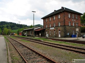
![Tocht Te voet Freyung - Silberdistel - Photo](https://media.geolcdn.com/t/350/260/e0ca3bf1-29b9-498a-9f53-9ba49086c2b8.jpeg&format=jpg&maxdim=2)
![Te voet Te voet](https://static1.geolcdn.com/sitytour/trail-icons/100.png)
Km
Te voet
![](/images/other/stat-length.png)
![](https://static1.geolcdn.com/siteimages/upload/files/1508320355ic_sort_den_pos_24dp.png)
![](https://static1.geolcdn.com/siteimages/upload/files/1508320355ic_sort_den_neg_24dp.png)
![](https://static1.geolcdn.com/siteimages/upload/files/16400158638029165_repeat_loop_refresh_sync_direction_icon.png)
• Trail created by Nationalpark Bayerischer Wald. Symbol: Pflanzensymbol (Silberdistel) in schwarz auf weißem quadrati...
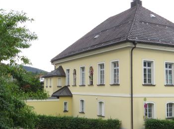
![Tocht Te voet Freyung - Rundwanderweg Geyersberg - Mertersberg - Baderstein - Photo](https://media.geolcdn.com/t/350/260/5080cc8c-3e06-465d-80ce-585e07addc58.jpeg&format=jpg&maxdim=2)
![Te voet Te voet](https://static1.geolcdn.com/sitytour/trail-icons/100.png)
Km
Te voet
![](/images/other/stat-length.png)
![](https://static1.geolcdn.com/siteimages/upload/files/1508320355ic_sort_den_pos_24dp.png)
![](https://static1.geolcdn.com/siteimages/upload/files/1508320355ic_sort_den_neg_24dp.png)
![](https://static1.geolcdn.com/siteimages/upload/files/16400158638029165_repeat_loop_refresh_sync_direction_icon.png)
• Trail created by Tourismusinformation Freyun. Symbol: Weiße 12 auf rotem Grund
![Tocht Te voet Freyung - Rundwanderweg Nr. 11](https://media.geolcdn.com/t/350/260/dba5fa5a-97ca-4e27-9aa9-00d541da1ce3.jpeg&format=jpg&maxdim=2)
![Te voet Te voet](https://static1.geolcdn.com/sitytour/trail-icons/100.png)
Km
Te voet
![](/images/other/stat-length.png)
![](https://static1.geolcdn.com/siteimages/upload/files/1508320355ic_sort_den_pos_24dp.png)
![](https://static1.geolcdn.com/siteimages/upload/files/1508320355ic_sort_den_neg_24dp.png)
![](https://static1.geolcdn.com/siteimages/upload/files/16400158638029165_repeat_loop_refresh_sync_direction_icon.png)
• Trail created by Bayerischer Waldverein. Symbol: Weiße 11 auf rotem Kreis
![Tocht Te voet Freyung - Rundwnderwef Nr. 9 Freyunger Dörfertour - Ost - Photo](https://media.geolcdn.com/t/350/260/dba5fa5a-97ca-4e27-9aa9-00d541da1ce3.jpeg&format=jpg&maxdim=2)
![Te voet Te voet](https://static1.geolcdn.com/sitytour/trail-icons/100.png)
Km
Te voet
![](/images/other/stat-length.png)
![](https://static1.geolcdn.com/siteimages/upload/files/1508320355ic_sort_den_pos_24dp.png)
![](https://static1.geolcdn.com/siteimages/upload/files/1508320355ic_sort_den_neg_24dp.png)
![](https://static1.geolcdn.com/siteimages/upload/files/16400158638029165_repeat_loop_refresh_sync_direction_icon.png)
• Trail created by Bayerischer Waldverein. Symbol: Weiße 9 auf rotem Kreis
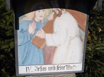
![Tocht Te voet Freyung - Rundwanderweg Nr. 8](https://media.geolcdn.com/t/350/260/1bd72361-d16d-40ca-87ff-ed17884b39da.jpeg&format=jpg&maxdim=2)
![Te voet Te voet](https://static1.geolcdn.com/sitytour/trail-icons/100.png)
Km
Te voet
![](/images/other/stat-length.png)
![](https://static1.geolcdn.com/siteimages/upload/files/1508320355ic_sort_den_pos_24dp.png)
![](https://static1.geolcdn.com/siteimages/upload/files/1508320355ic_sort_den_neg_24dp.png)
![](https://static1.geolcdn.com/siteimages/upload/files/16400158638029165_repeat_loop_refresh_sync_direction_icon.png)
• Trail created by Bayerischer Waldverein. Symbol: Weiße 8 auf rotem Kreis
![Tocht Te voet Freyung - Rundwanderweg Nr. 7](https://media.geolcdn.com/t/350/260/5080cc8c-3e06-465d-80ce-585e07addc58.jpeg&format=jpg&maxdim=2)
![Te voet Te voet](https://static1.geolcdn.com/sitytour/trail-icons/100.png)
Km
Te voet
![](/images/other/stat-length.png)
![](https://static1.geolcdn.com/siteimages/upload/files/1508320355ic_sort_den_pos_24dp.png)
![](https://static1.geolcdn.com/siteimages/upload/files/1508320355ic_sort_den_neg_24dp.png)
![](https://static1.geolcdn.com/siteimages/upload/files/16400158638029165_repeat_loop_refresh_sync_direction_icon.png)
• Trail created by Bayerischer Waldverein. Symbol: weiße 7 auf rotem Kreis
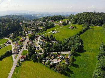
![Tocht Te voet Freyung - Rundwanderweg Nr. 6](https://media.geolcdn.com/t/350/260/96356f13-9dec-43d4-8abb-b4a71d703713.jpeg&format=jpg&maxdim=2)
![Te voet Te voet](https://static1.geolcdn.com/sitytour/trail-icons/100.png)
Km
Te voet
![](/images/other/stat-length.png)
![](https://static1.geolcdn.com/siteimages/upload/files/1508320355ic_sort_den_pos_24dp.png)
![](https://static1.geolcdn.com/siteimages/upload/files/1508320355ic_sort_den_neg_24dp.png)
![](https://static1.geolcdn.com/siteimages/upload/files/16400158638029165_repeat_loop_refresh_sync_direction_icon.png)
• Trail created by Bayerischer Waldverein. Symbol: Weiße 6 in rotem Kreis
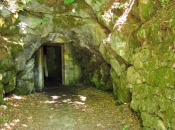
![Tocht Te voet Freyung - Rundwanderweg Nr. 3](https://media.geolcdn.com/t/350/260/e7768a19-8344-4b07-89af-f2fd366a0fbd.jpeg&format=jpg&maxdim=2)
![Te voet Te voet](https://static1.geolcdn.com/sitytour/trail-icons/100.png)
Km
Te voet
![](/images/other/stat-length.png)
![](https://static1.geolcdn.com/siteimages/upload/files/1508320355ic_sort_den_pos_24dp.png)
![](https://static1.geolcdn.com/siteimages/upload/files/1508320355ic_sort_den_neg_24dp.png)
![](https://static1.geolcdn.com/siteimages/upload/files/16400158638029165_repeat_loop_refresh_sync_direction_icon.png)
• Trail created by Bayerischer Waldverein. Symbol: weiße 3 auf rotem Kreis
![Tocht Te voet Freyung - Rundwanderweg Nr. 2 Saußbach - Falkenbach - Photo](https://media.geolcdn.com/t/350/260/e7768a19-8344-4b07-89af-f2fd366a0fbd.jpeg&format=jpg&maxdim=2)
![Te voet Te voet](https://static1.geolcdn.com/sitytour/trail-icons/100.png)
Km
Te voet
![](/images/other/stat-length.png)
![](https://static1.geolcdn.com/siteimages/upload/files/1508320355ic_sort_den_pos_24dp.png)
![](https://static1.geolcdn.com/siteimages/upload/files/1508320355ic_sort_den_neg_24dp.png)
![](https://static1.geolcdn.com/siteimages/upload/files/16400158638029165_repeat_loop_refresh_sync_direction_icon.png)
• Trail created by Bayerischer Waldverein. Symbol: Weiße 2 auf rotem Kreis
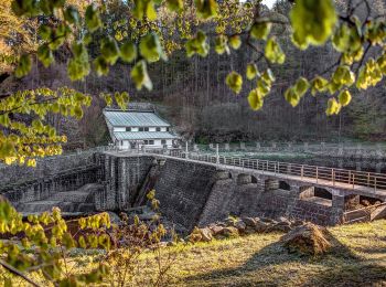
![Tocht Te voet Freyung - Rundwanderweg Nr. 1 Saußbach - Ahornöd - Photo](https://media.geolcdn.com/t/350/260/b24dbb97-5f70-4f13-a7c0-d58450cfebed.jpeg&format=jpg&maxdim=2)
![Te voet Te voet](https://static1.geolcdn.com/sitytour/trail-icons/100.png)
Km
Te voet
![](/images/other/stat-length.png)
![](https://static1.geolcdn.com/siteimages/upload/files/1508320355ic_sort_den_pos_24dp.png)
![](https://static1.geolcdn.com/siteimages/upload/files/1508320355ic_sort_den_neg_24dp.png)
![](https://static1.geolcdn.com/siteimages/upload/files/16400158638029165_repeat_loop_refresh_sync_direction_icon.png)
• Trail created by Bayerischer Waldverein. Symbol: Weiße 1 auf rotem Kreis
![Tocht Te voet Freyung - Rundwanderweg Nr. 10 Bergholz - Langholz - Photo](https://media.geolcdn.com/t/350/260/dba5fa5a-97ca-4e27-9aa9-00d541da1ce3.jpeg&format=jpg&maxdim=2)
![Te voet Te voet](https://static1.geolcdn.com/sitytour/trail-icons/100.png)
Km
Te voet
![](/images/other/stat-length.png)
![](https://static1.geolcdn.com/siteimages/upload/files/1508320355ic_sort_den_pos_24dp.png)
![](https://static1.geolcdn.com/siteimages/upload/files/1508320355ic_sort_den_neg_24dp.png)
![](https://static1.geolcdn.com/siteimages/upload/files/16400158638029165_repeat_loop_refresh_sync_direction_icon.png)
• Trail created by Bayerischer Waldverein. Symbol: Weiße 10 auf rotem Kreis
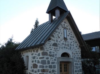
![Tocht Te voet Freyung - Wanderweg Nr. 7a Freyunger Dörfertour - Süd - Photo](https://media.geolcdn.com/t/350/260/d6c5f2b6-651a-494c-b3a6-e9daa3777312.jpeg&format=jpg&maxdim=2)
![Te voet Te voet](https://static1.geolcdn.com/sitytour/trail-icons/100.png)
Km
Te voet
![](/images/other/stat-length.png)
![](https://static1.geolcdn.com/siteimages/upload/files/1508320355ic_sort_den_pos_24dp.png)
![](https://static1.geolcdn.com/siteimages/upload/files/1508320355ic_sort_den_neg_24dp.png)
![](https://static1.geolcdn.com/siteimages/upload/files/16400158638029165_repeat_loop_refresh_sync_direction_icon.png)
• Trail created by Bayerischer Waldverein. Symbol: weiße 7a auf rotem Kreis
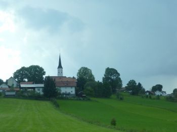
![Tocht Te voet Freyung - Verlängerungsmöglichkeit zu Rundwanderweg Nr. 4 - Photo](https://media.geolcdn.com/t/350/260/28f15b54-fc8f-49a8-8d3c-abb30c65151f.jpeg&format=jpg&maxdim=2)
![Te voet Te voet](https://static1.geolcdn.com/sitytour/trail-icons/100.png)
Km
Te voet
![](/images/other/stat-length.png)
![](https://static1.geolcdn.com/siteimages/upload/files/1508320355ic_sort_den_pos_24dp.png)
![](https://static1.geolcdn.com/siteimages/upload/files/1508320355ic_sort_den_neg_24dp.png)
![](https://static1.geolcdn.com/siteimages/upload/files/16400158638029165_repeat_loop_refresh_sync_direction_icon.png)
• Trail created by Bayerischer Waldverein. Symbol: weiße 4a auf rotem Grund
13 tochten weergegeven op 13
Gratisgps-wandelapplicatie