![](/images/other/stat-length.png)
- Tochten
- Te voet
- Germany
- Beieren
- Landkreis Forchheim
- Egloffstein
Egloffstein, Landkreis Forchheim, Te voet: Top van de beste wandelroutes, trajecten, tochten en wandelingen
Egloffstein: Ontdek de beste tochten: 10 te voet. Al deze tochten, trajecten, routes en outdoor activiteiten zijn beschikbaar in onze SityTrail-apps voor smartphones en tablets.
De beste trajecten (10)
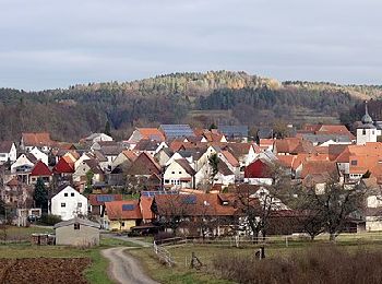
![Tocht Te voet Egloffstein - Durch Obstgärten zum Marterhaus - Photo](https://media.geolcdn.com/t/350/260/a03cc9c7-52dd-44ee-b4f8-e59fd94e94e0.jpeg&format=jpg&maxdim=2)
![Te voet Te voet](https://static1.geolcdn.com/sitytour/trail-icons/100.png)
Km
Te voet
![](/images/other/stat-length.png)
![](https://static1.geolcdn.com/siteimages/upload/files/1508320355ic_sort_den_pos_24dp.png)
![](https://static1.geolcdn.com/siteimages/upload/files/1508320355ic_sort_den_neg_24dp.png)
![](https://static1.geolcdn.com/siteimages/upload/files/16400158638029165_repeat_loop_refresh_sync_direction_icon.png)
• Trail created by nicht bekannt. abgeschlossen (Feb. 2013 by cycling_zno) Symbol: Blauer Ring auf weissem Grund
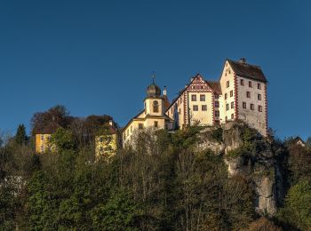
![Tocht Te voet Egloffstein - Rundweg Egloffstein Roterbalken - Photo](https://media.geolcdn.com/t/350/260/1e697914-4ed9-4cc3-8c6d-9ff4c1db0f5b.jpeg&format=jpg&maxdim=2)
![Te voet Te voet](https://static1.geolcdn.com/sitytour/trail-icons/100.png)
Km
Te voet
![](/images/other/stat-length.png)
![](https://static1.geolcdn.com/siteimages/upload/files/1508320355ic_sort_den_pos_24dp.png)
![](https://static1.geolcdn.com/siteimages/upload/files/1508320355ic_sort_den_neg_24dp.png)
![](https://static1.geolcdn.com/siteimages/upload/files/16400158638029165_repeat_loop_refresh_sync_direction_icon.png)
• Trail created by nicht bekannt. geprüft (März 2014, by cycling_zno) Symbol: Roter senkrechter Strich auf weissem Gr...
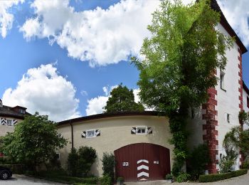
![Tocht Te voet Egloffstein - Kirschblütenrundwanderung - Photo](https://media.geolcdn.com/t/350/260/f006ac39-0ee5-42fa-a918-a6f445fdda90.jpeg&format=jpg&maxdim=2)
![Te voet Te voet](https://static1.geolcdn.com/sitytour/trail-icons/100.png)
Km
Te voet
![](/images/other/stat-length.png)
![](https://static1.geolcdn.com/siteimages/upload/files/1508320355ic_sort_den_pos_24dp.png)
![](https://static1.geolcdn.com/siteimages/upload/files/1508320355ic_sort_den_neg_24dp.png)
![](https://static1.geolcdn.com/siteimages/upload/files/16400158638029165_repeat_loop_refresh_sync_direction_icon.png)
• Trail created by nicht bekannt. geprüft (März 2014, by cycling_zno) Symbol: Grüner Schrägstrich auf weißem Grund
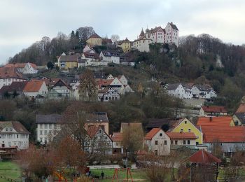
![Tocht Te voet Egloffstein - Kulturweg Egloffstein No. 4 - Photo](https://media.geolcdn.com/t/350/260/7d9b485a-7c24-4f84-891c-982a213b58f2.jpeg&format=jpg&maxdim=2)
![Te voet Te voet](https://static1.geolcdn.com/sitytour/trail-icons/100.png)
Km
Te voet
![](/images/other/stat-length.png)
![](https://static1.geolcdn.com/siteimages/upload/files/1508320355ic_sort_den_pos_24dp.png)
![](https://static1.geolcdn.com/siteimages/upload/files/1508320355ic_sort_den_neg_24dp.png)
![](https://static1.geolcdn.com/siteimages/upload/files/16400158638029165_repeat_loop_refresh_sync_direction_icon.png)
• Trail created by Markt Egloffstein. abgeschlossen (Feb. 2013 by cycling_zno) Symbol: Blaue 4 mit Burg
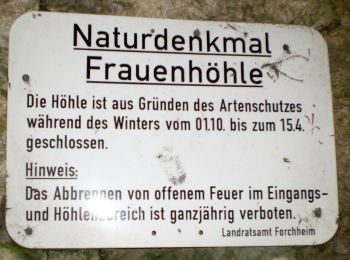
![Tocht Te voet Egloffstein - Kulturweg Egloffstein No. 3 - Photo](https://media.geolcdn.com/t/350/260/a7235ae1-8a31-41a1-aa72-6ff70b96332b.jpeg&format=jpg&maxdim=2)
![Te voet Te voet](https://static1.geolcdn.com/sitytour/trail-icons/100.png)
Km
Te voet
![](/images/other/stat-length.png)
![](https://static1.geolcdn.com/siteimages/upload/files/1508320355ic_sort_den_pos_24dp.png)
![](https://static1.geolcdn.com/siteimages/upload/files/1508320355ic_sort_den_neg_24dp.png)
![](https://static1.geolcdn.com/siteimages/upload/files/16400158638029165_repeat_loop_refresh_sync_direction_icon.png)
• Trail created by Markt Egloffstein. abgeschlossen (Feb. 2013 by cycling_zno) Symbol: Blaue 3 mit Burg
![Tocht Te voet Egloffstein - Kulturweg Egloffstein No. 2 - Photo](https://media.geolcdn.com/t/350/260/1e697914-4ed9-4cc3-8c6d-9ff4c1db0f5b.jpeg&format=jpg&maxdim=2)
![Te voet Te voet](https://static1.geolcdn.com/sitytour/trail-icons/100.png)
Km
Te voet
![](/images/other/stat-length.png)
![](https://static1.geolcdn.com/siteimages/upload/files/1508320355ic_sort_den_pos_24dp.png)
![](https://static1.geolcdn.com/siteimages/upload/files/1508320355ic_sort_den_neg_24dp.png)
![](https://static1.geolcdn.com/siteimages/upload/files/16400158638029165_repeat_loop_refresh_sync_direction_icon.png)
• Trail created by Markt Egloffstein. abgeschlossen (Feb. 2013 by cycling_zno) Symbol: Blaue 2 mit Burg
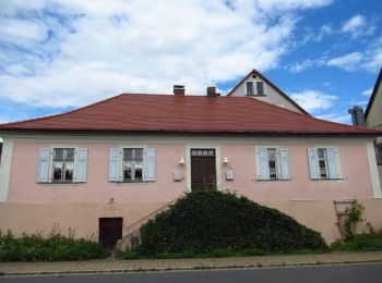
![Tocht Te voet Egloffstein - Wannbach - Wildgehege Hundshaupten - Photo](https://media.geolcdn.com/t/350/260/25b32ced-785c-40a5-a240-9c1e7f2b920b.jpeg&format=jpg&maxdim=2)
![Te voet Te voet](https://static1.geolcdn.com/sitytour/trail-icons/100.png)
Km
Te voet
![](/images/other/stat-length.png)
![](https://static1.geolcdn.com/siteimages/upload/files/1508320355ic_sort_den_pos_24dp.png)
![](https://static1.geolcdn.com/siteimages/upload/files/1508320355ic_sort_den_neg_24dp.png)
![](https://static1.geolcdn.com/siteimages/upload/files/16400158638029165_repeat_loop_refresh_sync_direction_icon.png)
• Trail created by nicht bekannt. abgeschlossen (Feb. 2013 by cycling_zno) Symbol: grüner Punkt auf weißem Grund
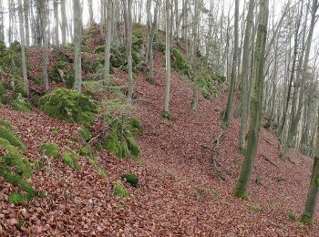
![Tocht Te voet Egloffstein - Kulturweg Egloffstein No. 1 - Photo](https://media.geolcdn.com/t/350/260/d26f08db-aa27-4064-a3c9-96ce5a261193.jpeg&format=jpg&maxdim=2)
![Te voet Te voet](https://static1.geolcdn.com/sitytour/trail-icons/100.png)
Km
Te voet
![](/images/other/stat-length.png)
![](https://static1.geolcdn.com/siteimages/upload/files/1508320355ic_sort_den_pos_24dp.png)
![](https://static1.geolcdn.com/siteimages/upload/files/1508320355ic_sort_den_neg_24dp.png)
![](https://static1.geolcdn.com/siteimages/upload/files/16400158638029165_repeat_loop_refresh_sync_direction_icon.png)
• Trail created by Markt Egloffstein. abgeschlossen (Feb. 2013 by cycling_zno) Symbol: Blaue 1 mit Burg
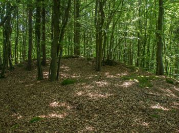
![Tocht Te voet Egloffstein - Rundweg Affalterthal - Photo](https://media.geolcdn.com/t/350/260/b789abe1-bc8d-41e6-99d0-63e3d097c911.jpeg&format=jpg&maxdim=2)
![Te voet Te voet](https://static1.geolcdn.com/sitytour/trail-icons/100.png)
Km
Te voet
![](/images/other/stat-length.png)
![](https://static1.geolcdn.com/siteimages/upload/files/1508320355ic_sort_den_pos_24dp.png)
![](https://static1.geolcdn.com/siteimages/upload/files/1508320355ic_sort_den_neg_24dp.png)
![](https://static1.geolcdn.com/siteimages/upload/files/16400158638029165_repeat_loop_refresh_sync_direction_icon.png)
• Trail created by nicht bekannt. abgeschlossen (Feb. 2013 by cycling_zno) Symbol: Grüner Ring auf weissem Grund
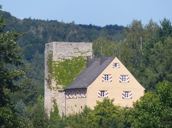
![Tocht Te voet Egloffstein - Rundweg Egloffstein Grünring - Photo](https://media.geolcdn.com/t/350/260/07d0a9f9-b693-46a0-9b80-974c857eff52.jpeg&format=jpg&maxdim=2)
![Te voet Te voet](https://static1.geolcdn.com/sitytour/trail-icons/100.png)
Km
Te voet
![](/images/other/stat-length.png)
![](https://static1.geolcdn.com/siteimages/upload/files/1508320355ic_sort_den_pos_24dp.png)
![](https://static1.geolcdn.com/siteimages/upload/files/1508320355ic_sort_den_neg_24dp.png)
![](https://static1.geolcdn.com/siteimages/upload/files/16400158638029165_repeat_loop_refresh_sync_direction_icon.png)
• Trail created by nicht bekannt. abgeschlossen (Feb. 2013 by cycling_zno) Symbol: Grüner Ring auf weissem Grund
10 tochten weergegeven op 10
Gratisgps-wandelapplicatie