


5,1 km | 6,4 km-effort
Ruhpolding: Ontdek de beste tochten: 11 te voet. Al deze tochten, trajecten, routes en outdoor activiteiten zijn beschikbaar in onze SityTrail-apps voor smartphones en tablets.
Te voet


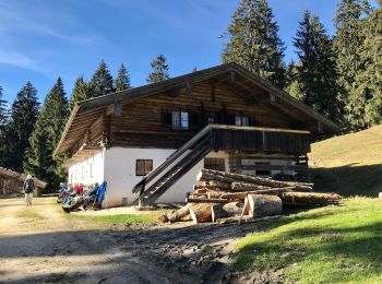
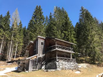
• Trail created by Gemeinde Ruhpolding.
Te voet
• Trail created by Gemeinde Ruhpolding.
Te voet
• Trail created by Gemeinde Ruhpolding.
Te voet
Te voet

Te voet
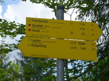
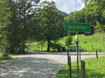
• Trail created by Gemeinde Reit im Winkl. Symbol: Gelbe Wegweisschilder mit Text und Zahl

Te voet
Te voet
• Symbol: Quadrat auf Spitze mit Nummer 52
Te voet

Te voet
• Symbol: Gelbe Punkte und Pfeile an Steinen und Bäumen
Te voet
11 tochten weergegeven op 11
Gratisgps-wandelapplicatie
 SityTrail
IGN / Geografische instituten
SityTrail World
De wereld gaat voor u open