![](/images/other/stat-length.png)
- Tochten
- Te voet
- Germany
- Beieren
- Landkreis Rosenheim
- Bad Endorf
Bad Endorf, Landkreis Rosenheim, Te voet: Top van de beste wandelroutes, trajecten, tochten en wandelingen
Bad Endorf: Ontdek de beste tochten: 17 te voet. Al deze tochten, trajecten, routes en outdoor activiteiten zijn beschikbaar in onze SityTrail-apps voor smartphones en tablets.
De beste trajecten (17)
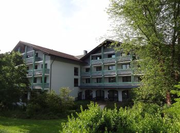
![Tocht Te voet Bad Endorf - Wanderweg 5 - Bad Endorf - Photo](https://media.geolcdn.com/t/350/260/3de04759-bc4f-4e48-9110-323c1773c99c.jpeg&format=jpg&maxdim=2)
![Te voet Te voet](https://static1.geolcdn.com/sitytour/trail-icons/100.png)
Km
Te voet
![](/images/other/stat-length.png)
![](https://static1.geolcdn.com/siteimages/upload/files/1508320355ic_sort_den_pos_24dp.png)
![](https://static1.geolcdn.com/siteimages/upload/files/1508320355ic_sort_den_neg_24dp.png)
![](https://static1.geolcdn.com/siteimages/upload/files/16400158638029165_repeat_loop_refresh_sync_direction_icon.png)
• Trail created by Bad Endorf. Symbol: Grüne Wegweisschilder mit weißer Schrift
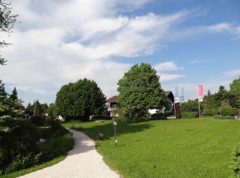
![Tocht Te voet Bad Endorf - Panoramaweg - Bad Endorf - Photo](https://media.geolcdn.com/t/350/260/348947be-a8c2-4083-839e-9dfd812930d1.jpeg&format=jpg&maxdim=2)
![Te voet Te voet](https://static1.geolcdn.com/sitytour/trail-icons/100.png)
Km
Te voet
![](/images/other/stat-length.png)
![](https://static1.geolcdn.com/siteimages/upload/files/1508320355ic_sort_den_pos_24dp.png)
![](https://static1.geolcdn.com/siteimages/upload/files/1508320355ic_sort_den_neg_24dp.png)
![](https://static1.geolcdn.com/siteimages/upload/files/16400158638029165_repeat_loop_refresh_sync_direction_icon.png)
• Trail created by Bad Endorf. Symbol: Grüne Wegweisschilder mit weißer Schrift. "P.W." in blauem Kreis
![Tocht Te voet Bad Endorf - Wanderweg 9 - Bad Endorf - Photo](https://media.geolcdn.com/t/350/260/3de04759-bc4f-4e48-9110-323c1773c99c.jpeg&format=jpg&maxdim=2)
![Te voet Te voet](https://static1.geolcdn.com/sitytour/trail-icons/100.png)
Km
Te voet
![](/images/other/stat-length.png)
![](https://static1.geolcdn.com/siteimages/upload/files/1508320355ic_sort_den_pos_24dp.png)
![](https://static1.geolcdn.com/siteimages/upload/files/1508320355ic_sort_den_neg_24dp.png)
![](https://static1.geolcdn.com/siteimages/upload/files/16400158638029165_repeat_loop_refresh_sync_direction_icon.png)
• Trail created by Bad Endorf. Symbol: Grüne Wegweisschilder mit weißer Schrift
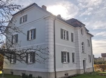
![Tocht Te voet Bad Endorf - Wanderweg 8 - Bad Endorf - Photo](https://media.geolcdn.com/t/350/260/712d95f9-e853-415b-82f3-cefb13c15c0b.jpeg&format=jpg&maxdim=2)
![Te voet Te voet](https://static1.geolcdn.com/sitytour/trail-icons/100.png)
Km
Te voet
![](/images/other/stat-length.png)
![](https://static1.geolcdn.com/siteimages/upload/files/1508320355ic_sort_den_pos_24dp.png)
![](https://static1.geolcdn.com/siteimages/upload/files/1508320355ic_sort_den_neg_24dp.png)
![](https://static1.geolcdn.com/siteimages/upload/files/16400158638029165_repeat_loop_refresh_sync_direction_icon.png)
• Trail created by Bad Endorf. Symbol: Grüne Wegweisschilder mit weißer Schrift
![Tocht Te voet Bad Endorf - Wanderweg 7 - Bad Endorf - Stockhamer Rundweg - Photo](https://media.geolcdn.com/t/350/260/3de04759-bc4f-4e48-9110-323c1773c99c.jpeg&format=jpg&maxdim=2)
![Te voet Te voet](https://static1.geolcdn.com/sitytour/trail-icons/100.png)
Km
Te voet
![](/images/other/stat-length.png)
![](https://static1.geolcdn.com/siteimages/upload/files/1508320355ic_sort_den_pos_24dp.png)
![](https://static1.geolcdn.com/siteimages/upload/files/1508320355ic_sort_den_neg_24dp.png)
![](https://static1.geolcdn.com/siteimages/upload/files/16400158638029165_repeat_loop_refresh_sync_direction_icon.png)
• Trail created by Bad Endorf. Symbol: Grüne Wegweisschilder mit weißer Schrift und auf Holzschildern auch blaue Punke...
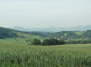
![Tocht Te voet Bad Endorf - Wanderweg 4 - Bad Endorf - Photo](https://media.geolcdn.com/t/350/260/d4576c82-5f44-4a90-b157-f67182de83b4.jpeg&format=jpg&maxdim=2)
![Te voet Te voet](https://static1.geolcdn.com/sitytour/trail-icons/100.png)
Km
Te voet
![](/images/other/stat-length.png)
![](https://static1.geolcdn.com/siteimages/upload/files/1508320355ic_sort_den_pos_24dp.png)
![](https://static1.geolcdn.com/siteimages/upload/files/1508320355ic_sort_den_neg_24dp.png)
![](https://static1.geolcdn.com/siteimages/upload/files/16400158638029165_repeat_loop_refresh_sync_direction_icon.png)
• Trail created by Bad Endorf. Symbol: Grüne Wegweisschilder mit weißer Schrift

![Tocht Te voet Bad Endorf - Wanderweg 3 - Bad Endorf - Photo](https://media.geolcdn.com/t/350/260/fbe6b374-0a82-4441-adce-5301e49d18a5.jpeg&format=jpg&maxdim=2)
![Te voet Te voet](https://static1.geolcdn.com/sitytour/trail-icons/100.png)
Km
Te voet
![](/images/other/stat-length.png)
![](https://static1.geolcdn.com/siteimages/upload/files/1508320355ic_sort_den_pos_24dp.png)
![](https://static1.geolcdn.com/siteimages/upload/files/1508320355ic_sort_den_neg_24dp.png)
![](https://static1.geolcdn.com/siteimages/upload/files/16400158638029165_repeat_loop_refresh_sync_direction_icon.png)
• Trail created by Bad Endorf. Symbol: Grüne Wegweisschilder mit weißer Schrift
![Tocht Te voet Bad Endorf - Wanderweg 16 - Bad Endorf - Photo](https://media.geolcdn.com/t/350/260/d4576c82-5f44-4a90-b157-f67182de83b4.jpeg&format=jpg&maxdim=2)
![Te voet Te voet](https://static1.geolcdn.com/sitytour/trail-icons/100.png)
Km
Te voet
![](/images/other/stat-length.png)
![](https://static1.geolcdn.com/siteimages/upload/files/1508320355ic_sort_den_pos_24dp.png)
![](https://static1.geolcdn.com/siteimages/upload/files/1508320355ic_sort_den_neg_24dp.png)
![](https://static1.geolcdn.com/siteimages/upload/files/16400158638029165_repeat_loop_refresh_sync_direction_icon.png)
• Trail created by Bad Endorf. Symbol: Grüne Wegweisschilder mit weißer Schrift
![Tocht Te voet Bad Endorf - Wanderweg 13 - Bad Endorf - Photo](https://media.geolcdn.com/t/350/260/3de04759-bc4f-4e48-9110-323c1773c99c.jpeg&format=jpg&maxdim=2)
![Te voet Te voet](https://static1.geolcdn.com/sitytour/trail-icons/100.png)
Km
Te voet
![](/images/other/stat-length.png)
![](https://static1.geolcdn.com/siteimages/upload/files/1508320355ic_sort_den_pos_24dp.png)
![](https://static1.geolcdn.com/siteimages/upload/files/1508320355ic_sort_den_neg_24dp.png)
![](https://static1.geolcdn.com/siteimages/upload/files/16400158638029165_repeat_loop_refresh_sync_direction_icon.png)
• Trail created by Bad Endorf. Symbol: Grüne Wegweisschilder mit weißer Schrift und auf Holzschildern auch blaue Punke...
![Tocht Te voet Bad Endorf - Wanderweg 11 - Bad Endorf - Photo](https://media.geolcdn.com/t/350/260/3de04759-bc4f-4e48-9110-323c1773c99c.jpeg&format=jpg&maxdim=2)
![Te voet Te voet](https://static1.geolcdn.com/sitytour/trail-icons/100.png)
Km
Te voet
![](/images/other/stat-length.png)
![](https://static1.geolcdn.com/siteimages/upload/files/1508320355ic_sort_den_pos_24dp.png)
![](https://static1.geolcdn.com/siteimages/upload/files/1508320355ic_sort_den_neg_24dp.png)
![](https://static1.geolcdn.com/siteimages/upload/files/16400158638029165_repeat_loop_refresh_sync_direction_icon.png)
• Trail created by Bad Endorf. Symbol: Grüne Wegweisschilder mit weißer Schrift
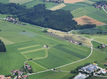
![Tocht Te voet Bad Endorf - Wanderweg 10 - Bad Endorf - Photo](https://media.geolcdn.com/t/350/260/37140178-61b4-47fe-9c2c-b4ed1ad6dd7a.jpeg&format=jpg&maxdim=2)
![Te voet Te voet](https://static1.geolcdn.com/sitytour/trail-icons/100.png)
Km
Te voet
![](/images/other/stat-length.png)
![](https://static1.geolcdn.com/siteimages/upload/files/1508320355ic_sort_den_pos_24dp.png)
![](https://static1.geolcdn.com/siteimages/upload/files/1508320355ic_sort_den_neg_24dp.png)
![](https://static1.geolcdn.com/siteimages/upload/files/16400158638029165_repeat_loop_refresh_sync_direction_icon.png)
• Trail created by Bad Endorf. Symbol: Grüne Wegweisschilder mit weißer Schrift
![Tocht Te voet Bad Endorf - Wanderweg 1 - Bad Endorf - Photo](https://media.geolcdn.com/t/350/260/3de04759-bc4f-4e48-9110-323c1773c99c.jpeg&format=jpg&maxdim=2)
![Te voet Te voet](https://static1.geolcdn.com/sitytour/trail-icons/100.png)
Km
Te voet
![](/images/other/stat-length.png)
![](https://static1.geolcdn.com/siteimages/upload/files/1508320355ic_sort_den_pos_24dp.png)
![](https://static1.geolcdn.com/siteimages/upload/files/1508320355ic_sort_den_neg_24dp.png)
![](https://static1.geolcdn.com/siteimages/upload/files/16400158638029165_repeat_loop_refresh_sync_direction_icon.png)
• Trail created by Bad Endorf. Symbol: Grüne Wegweisschilder mit weißer Schrift
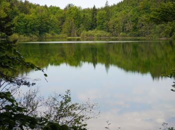
![Tocht Te voet Bad Endorf - Wanderweg 12 - Bad Endorf - Photo](https://media.geolcdn.com/t/350/260/5a14f28a-8881-44c8-abf3-896f01a3d2d7.jpeg&format=jpg&maxdim=2)
![Te voet Te voet](https://static1.geolcdn.com/sitytour/trail-icons/100.png)
Km
Te voet
![](/images/other/stat-length.png)
![](https://static1.geolcdn.com/siteimages/upload/files/1508320355ic_sort_den_pos_24dp.png)
![](https://static1.geolcdn.com/siteimages/upload/files/1508320355ic_sort_den_neg_24dp.png)
![](https://static1.geolcdn.com/siteimages/upload/files/16400158638029165_repeat_loop_refresh_sync_direction_icon.png)
• Trail created by Bad Endorf. Symbol: Grüne Wegweisschilder mit weißer Schrift
![Tocht Te voet Bad Endorf - Nordic Walking Bad Endorf Rot - Photo](https://media.geolcdn.com/t/350/260/d4576c82-5f44-4a90-b157-f67182de83b4.jpeg&format=jpg&maxdim=2)
![Te voet Te voet](https://static1.geolcdn.com/sitytour/trail-icons/100.png)
Km
Te voet
![](/images/other/stat-length.png)
![](https://static1.geolcdn.com/siteimages/upload/files/1508320355ic_sort_den_pos_24dp.png)
![](https://static1.geolcdn.com/siteimages/upload/files/1508320355ic_sort_den_neg_24dp.png)
![](https://static1.geolcdn.com/siteimages/upload/files/16400158638029165_repeat_loop_refresh_sync_direction_icon.png)
• Symbol: Rotes Schild mit weißem Pfeil
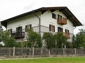
![Tocht Te voet Bad Endorf - Obst- und Kulturweg (OKW) - Photo](https://media.geolcdn.com/t/350/260/eb8c3b49-a6d4-403c-a9ef-e0c0e14b2dcc.jpeg&format=jpg&maxdim=2)
![Te voet Te voet](https://static1.geolcdn.com/sitytour/trail-icons/100.png)
Km
Te voet
![](/images/other/stat-length.png)
![](https://static1.geolcdn.com/siteimages/upload/files/1508320355ic_sort_den_pos_24dp.png)
![](https://static1.geolcdn.com/siteimages/upload/files/1508320355ic_sort_den_neg_24dp.png)
![](https://static1.geolcdn.com/siteimages/upload/files/16400158638029165_repeat_loop_refresh_sync_direction_icon.png)
• Die Wanderung von Prien oder Rimsting aus führt Sie durch die sehr abwechslungsreiche Hügellandschaft mit alten Obsts...
![Tocht Te voet Bad Endorf - Nordic Walking Bad Endorf Blau - Photo](https://media.geolcdn.com/t/350/260/5a14f28a-8881-44c8-abf3-896f01a3d2d7.jpeg&format=jpg&maxdim=2)
![Te voet Te voet](https://static1.geolcdn.com/sitytour/trail-icons/100.png)
Km
Te voet
![](/images/other/stat-length.png)
![](https://static1.geolcdn.com/siteimages/upload/files/1508320355ic_sort_den_pos_24dp.png)
![](https://static1.geolcdn.com/siteimages/upload/files/1508320355ic_sort_den_neg_24dp.png)
![](https://static1.geolcdn.com/siteimages/upload/files/16400158638029165_repeat_loop_refresh_sync_direction_icon.png)
• Symbol: Blaues Schild mit weißem Pfeil
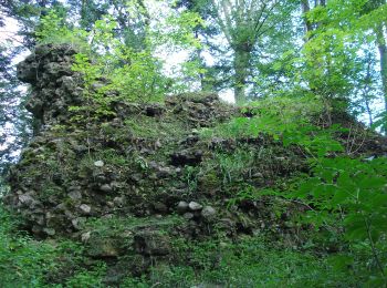
![Tocht Te voet Bad Endorf - Wanderweg 15 - Bad Endorf - Photo](https://media.geolcdn.com/t/350/260/37558e3a-d321-4288-a05f-e80d49a51f91.jpeg&format=jpg&maxdim=2)
![Te voet Te voet](https://static1.geolcdn.com/sitytour/trail-icons/100.png)
Km
Te voet
![](/images/other/stat-length.png)
![](https://static1.geolcdn.com/siteimages/upload/files/1508320355ic_sort_den_pos_24dp.png)
![](https://static1.geolcdn.com/siteimages/upload/files/1508320355ic_sort_den_neg_24dp.png)
![](https://static1.geolcdn.com/siteimages/upload/files/16400158638029165_repeat_loop_refresh_sync_direction_icon.png)
• Trail created by Bad Endorf. Symbol: Grüne Wegweisschilder mit weißer Schrift
17 tochten weergegeven op 17
Gratisgps-wandelapplicatie