![](/images/other/stat-length.png)
Landkreis Regensburg, Beieren, Te voet: Top van de beste wandelroutes, trajecten, tochten en wandelingen
Landkreis Regensburg: Ontdek de beste tochten: 91 te voet en 1 stappen. Al deze tochten, trajecten, routes en outdoor activiteiten zijn beschikbaar in onze SityTrail-apps voor smartphones en tablets.
De beste trajecten (92)
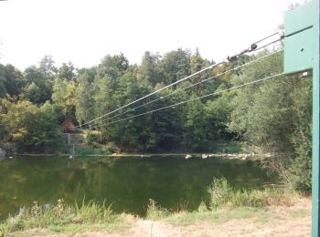
![Tocht Te voet Regenstauf - Tour 9 »Flusswanderung« - Photo](https://media.geolcdn.com/t/350/260/82c6bac3-13b2-423e-8be9-687a1b5300a6.jpeg&format=jpg&maxdim=2)
![Te voet Te voet](https://static1.geolcdn.com/sitytour/trail-icons/100.png)
Km
Te voet
![](/images/other/stat-length.png)
![](https://static1.geolcdn.com/siteimages/upload/files/1508320355ic_sort_den_pos_24dp.png)
![](https://static1.geolcdn.com/siteimages/upload/files/1508320355ic_sort_den_neg_24dp.png)
![](https://static1.geolcdn.com/siteimages/upload/files/16400158638029165_repeat_loop_refresh_sync_direction_icon.png)
• Trail created by Stadt Nittenau?. FIXME: Nicht alle Segmente erfaßt. Symbol: Weiße oder schwarze Wegnummer in einem...
![Tocht Te voet Regenstauf - Tour 6 »Schwarzbergtour« - Photo](https://media.geolcdn.com/t/350/260/82c6bac3-13b2-423e-8be9-687a1b5300a6.jpeg&format=jpg&maxdim=2)
![Te voet Te voet](https://static1.geolcdn.com/sitytour/trail-icons/100.png)
Km
Te voet
![](/images/other/stat-length.png)
![](https://static1.geolcdn.com/siteimages/upload/files/1508320355ic_sort_den_pos_24dp.png)
![](https://static1.geolcdn.com/siteimages/upload/files/1508320355ic_sort_den_neg_24dp.png)
![](https://static1.geolcdn.com/siteimages/upload/files/16400158638029165_repeat_loop_refresh_sync_direction_icon.png)
• Trail created by Stadt Nittenau?. FIXME: Nicht alle Segmente erfaßt. Symbol: Weiße oder schwarze Wegnummer in einem...
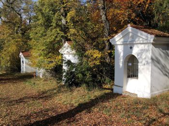
![Tocht Te voet Sinzing - W 03 Schneckenbach - Kelheim (Grünes Dreieck) - Photo](https://media.geolcdn.com/t/350/260/121231fc-5d7a-4b53-94a9-a80b1a82fc5d.jpeg&format=jpg&maxdim=2)
![Te voet Te voet](https://static1.geolcdn.com/sitytour/trail-icons/100.png)
Km
Te voet
![](/images/other/stat-length.png)
![](https://static1.geolcdn.com/siteimages/upload/files/1508320355ic_sort_den_pos_24dp.png)
![](https://static1.geolcdn.com/siteimages/upload/files/1508320355ic_sort_den_neg_24dp.png)
![](https://static1.geolcdn.com/siteimages/upload/files/16400158638029165_repeat_loop_refresh_sync_direction_icon.png)
• Trail created by Waldverein Regensburg. FIXME: Nicht alle Segmente erfaßt. Symbol: Grünes Dreieck (Spitze zur Seite...

![Tocht Te voet Sinzing - W 33 Gundelshausen - Alling (Rotes Dreieck) - Photo](https://media.geolcdn.com/t/350/260/fdf350be-5e67-44ad-b3f2-ce7fd0b19059.jpeg&format=jpg&maxdim=2)
![Te voet Te voet](https://static1.geolcdn.com/sitytour/trail-icons/100.png)
Km
Te voet
![](/images/other/stat-length.png)
![](https://static1.geolcdn.com/siteimages/upload/files/1508320355ic_sort_den_pos_24dp.png)
![](https://static1.geolcdn.com/siteimages/upload/files/1508320355ic_sort_den_neg_24dp.png)
![](https://static1.geolcdn.com/siteimages/upload/files/16400158638029165_repeat_loop_refresh_sync_direction_icon.png)
• Trail created by Waldverein Regensburg. Symbol: Rotes Dreieck (Spitze zur Seite) auf weißem Grund
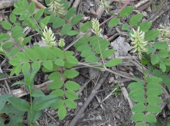
![Tocht Te voet Duggendorf - W 54 Pielenhofen - Heitzenhofen (Rotes Rechteck) - Photo](https://media.geolcdn.com/t/350/260/e93e9feb-ffa2-4ef0-93a7-bc7336a0545f.jpeg&format=jpg&maxdim=2)
![Te voet Te voet](https://static1.geolcdn.com/sitytour/trail-icons/100.png)
Km
Te voet
![](/images/other/stat-length.png)
![](https://static1.geolcdn.com/siteimages/upload/files/1508320355ic_sort_den_pos_24dp.png)
![](https://static1.geolcdn.com/siteimages/upload/files/1508320355ic_sort_den_neg_24dp.png)
![](https://static1.geolcdn.com/siteimages/upload/files/16400158638029165_repeat_loop_refresh_sync_direction_icon.png)
• Trail created by Waldverein Regensburg. Symbol: Rotes Rechteck auf weißem Grund
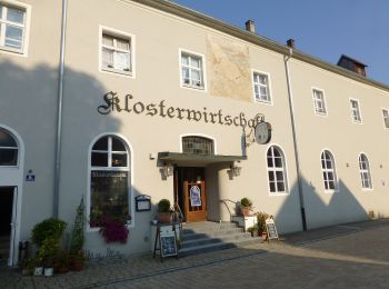
![Tocht Te voet Wolfsegg - W 49 Wolfsegg - Pielenhofen (Rotes Dreieck) - Photo](https://media.geolcdn.com/t/350/260/e39a0708-138f-4508-8876-d31ec4b7468e.jpeg&format=jpg&maxdim=2)
![Te voet Te voet](https://static1.geolcdn.com/sitytour/trail-icons/100.png)
Km
Te voet
![](/images/other/stat-length.png)
![](https://static1.geolcdn.com/siteimages/upload/files/1508320355ic_sort_den_pos_24dp.png)
![](https://static1.geolcdn.com/siteimages/upload/files/1508320355ic_sort_den_neg_24dp.png)
![](https://static1.geolcdn.com/siteimages/upload/files/16400158638029165_repeat_loop_refresh_sync_direction_icon.png)
• Trail created by Waldverein Regensburg. Symbol: Rotes Dreieck (Spitze zur Seite) auf weißem Grund
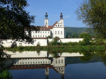
![Tocht Te voet Deuerling - W 53 Deuerling-Bahnhof - Pielenhofen (Grünes Dreieck) - Photo](https://media.geolcdn.com/t/350/260/0de89893-d035-40cc-b96a-19aeb5d51b0a.jpeg&format=jpg&maxdim=2)
![Te voet Te voet](https://static1.geolcdn.com/sitytour/trail-icons/100.png)
Km
Te voet
![](/images/other/stat-length.png)
![](https://static1.geolcdn.com/siteimages/upload/files/1508320355ic_sort_den_pos_24dp.png)
![](https://static1.geolcdn.com/siteimages/upload/files/1508320355ic_sort_den_neg_24dp.png)
![](https://static1.geolcdn.com/siteimages/upload/files/16400158638029165_repeat_loop_refresh_sync_direction_icon.png)
• Trail created by Waldverein Regensburg. Symbol: Grünes Dreieck (Spitze zur Seite) auf weißem Grund
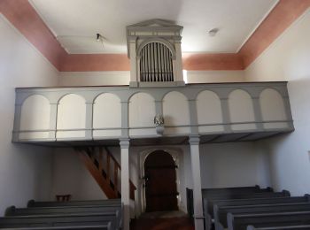
![Tocht Te voet Duggendorf - W 50 Duggendorf - W49 (Grünes Rechteck) - Photo](https://media.geolcdn.com/t/350/260/14ae6e3a-ad5f-4206-9246-93b69afb0e66.jpeg&format=jpg&maxdim=2)
![Te voet Te voet](https://static1.geolcdn.com/sitytour/trail-icons/100.png)
Km
Te voet
![](/images/other/stat-length.png)
![](https://static1.geolcdn.com/siteimages/upload/files/1508320355ic_sort_den_pos_24dp.png)
![](https://static1.geolcdn.com/siteimages/upload/files/1508320355ic_sort_den_neg_24dp.png)
![](https://static1.geolcdn.com/siteimages/upload/files/16400158638029165_repeat_loop_refresh_sync_direction_icon.png)
• Trail created by Waldverein Regensburg. Symbol: Grünes Rechteck auf weißem Grund
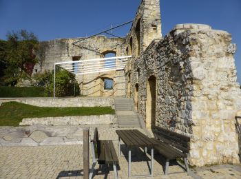
![Tocht Te voet Laaber - W 47 Laaber - Deuerling (Rotes Rechteck) - Photo](https://media.geolcdn.com/t/350/260/0a266a6a-26fd-4165-81c0-622be20678ea.jpeg&format=jpg&maxdim=2)
![Te voet Te voet](https://static1.geolcdn.com/sitytour/trail-icons/100.png)
Km
Te voet
![](/images/other/stat-length.png)
![](https://static1.geolcdn.com/siteimages/upload/files/1508320355ic_sort_den_pos_24dp.png)
![](https://static1.geolcdn.com/siteimages/upload/files/1508320355ic_sort_den_neg_24dp.png)
![](https://static1.geolcdn.com/siteimages/upload/files/16400158638029165_repeat_loop_refresh_sync_direction_icon.png)
• Trail created by Waldverein Regensburg. Symbol: Rotes Rechteck auf weißem Grund
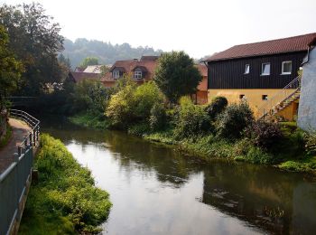
![Tocht Te voet Beratzhausen - W 26 Laaber - Beratzhausen (Rotes Dreieck) - Photo](https://media.geolcdn.com/t/350/260/cd65d7ee-10cb-40a6-9aac-1e40586582a5.jpeg&format=jpg&maxdim=2)
![Te voet Te voet](https://static1.geolcdn.com/sitytour/trail-icons/100.png)
Km
Te voet
![](/images/other/stat-length.png)
![](https://static1.geolcdn.com/siteimages/upload/files/1508320355ic_sort_den_pos_24dp.png)
![](https://static1.geolcdn.com/siteimages/upload/files/1508320355ic_sort_den_neg_24dp.png)
![](https://static1.geolcdn.com/siteimages/upload/files/16400158638029165_repeat_loop_refresh_sync_direction_icon.png)
• Trail created by Waldverein Regensburg. Symbol: Rotes Dreieck (Spitze zur Seite) auf weißem Grund
![Tocht Te voet Regenstauf - Wilder Mann 005, Naturpark Vorderer Bayerischer Wald - Photo](https://media.geolcdn.com/t/350/260/82c6bac3-13b2-423e-8be9-687a1b5300a6.jpeg&format=jpg&maxdim=2)
![Te voet Te voet](https://static1.geolcdn.com/sitytour/trail-icons/100.png)
Km
Te voet
![](/images/other/stat-length.png)
![](https://static1.geolcdn.com/siteimages/upload/files/1508320355ic_sort_den_pos_24dp.png)
![](https://static1.geolcdn.com/siteimages/upload/files/1508320355ic_sort_den_neg_24dp.png)
![](https://static1.geolcdn.com/siteimages/upload/files/16400158638029165_repeat_loop_refresh_sync_direction_icon.png)
• Trail created by Verein Naturpark Vorderer Bayerischer Wald. FIXME: Nicht alle Wegsegmente erfaßt. Symbol: Auf eine...
![Tocht Te voet Lappersdorf - Permanenter Wanderweg (rot) - Photo](https://media.geolcdn.com/t/350/260/1df6b977-4296-4b2d-a1d4-b51c3417b304.jpeg&format=jpg&maxdim=2)
![Te voet Te voet](https://static1.geolcdn.com/sitytour/trail-icons/100.png)
Km
Te voet
![](/images/other/stat-length.png)
![](https://static1.geolcdn.com/siteimages/upload/files/1508320355ic_sort_den_pos_24dp.png)
![](https://static1.geolcdn.com/siteimages/upload/files/1508320355ic_sort_den_neg_24dp.png)
![](https://static1.geolcdn.com/siteimages/upload/files/16400158638029165_repeat_loop_refresh_sync_direction_icon.png)
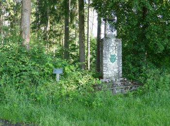
• Trail created by Wanderfreunde Hainsacker e.V.. Symbol: Rotes Quadrat mit schwarzen Buchstaben PW
![Tocht Te voet Lappersdorf - Permanenter Wanderweg (grün) - Photo](https://media.geolcdn.com/t/350/260/2f05367b-83dc-4689-a64a-53d5ff35d8d0.jpeg&format=jpg&maxdim=2)
![Te voet Te voet](https://static1.geolcdn.com/sitytour/trail-icons/100.png)
Km
Te voet
![](/images/other/stat-length.png)
![](https://static1.geolcdn.com/siteimages/upload/files/1508320355ic_sort_den_pos_24dp.png)
![](https://static1.geolcdn.com/siteimages/upload/files/1508320355ic_sort_den_neg_24dp.png)
![](https://static1.geolcdn.com/siteimages/upload/files/16400158638029165_repeat_loop_refresh_sync_direction_icon.png)
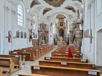
• Trail created by Wanderfreunde Hainsacker e.V.. Symbol: Grünes Quadrat mit schwarzen Buchstaben PW
![Tocht Te voet Lappersdorf - IVV (blau) - Photo](https://media.geolcdn.com/t/350/260/1df6b977-4296-4b2d-a1d4-b51c3417b304.jpeg&format=jpg&maxdim=2)
![Te voet Te voet](https://static1.geolcdn.com/sitytour/trail-icons/100.png)
Km
Te voet
![](/images/other/stat-length.png)
![](https://static1.geolcdn.com/siteimages/upload/files/1508320355ic_sort_den_pos_24dp.png)
![](https://static1.geolcdn.com/siteimages/upload/files/1508320355ic_sort_den_neg_24dp.png)
![](https://static1.geolcdn.com/siteimages/upload/files/16400158638029165_repeat_loop_refresh_sync_direction_icon.png)
• Symbol: Blauer Schriftzug IVV
![Tocht Te voet Brennberg - T 8 Frauenzell - Breitenstein - Kruckenberg - Photo](https://media.geolcdn.com/t/350/260/76ab2507-fb3f-4eb5-aff2-71bc088be386.jpeg&format=jpg&maxdim=2)
![Te voet Te voet](https://static1.geolcdn.com/sitytour/trail-icons/100.png)
Km
Te voet
![](/images/other/stat-length.png)
![](https://static1.geolcdn.com/siteimages/upload/files/1508320355ic_sort_den_pos_24dp.png)
![](https://static1.geolcdn.com/siteimages/upload/files/1508320355ic_sort_den_neg_24dp.png)
![](https://static1.geolcdn.com/siteimages/upload/files/16400158638029165_repeat_loop_refresh_sync_direction_icon.png)
• Trail created by Waldverein Regensburg. Symbol: kein Symbol, aber Wegweiser außerhalb des Thiergartens
![Tocht Te voet Altenthann - T 7 Forstmühle - Bach/Do. - Photo](https://media.geolcdn.com/t/350/260/18b0a4e9-f7a9-461c-9797-c0f307f4d708.jpeg&format=jpg&maxdim=2)
![Te voet Te voet](https://static1.geolcdn.com/sitytour/trail-icons/100.png)
Km
Te voet
![](/images/other/stat-length.png)
![](https://static1.geolcdn.com/siteimages/upload/files/1508320355ic_sort_den_pos_24dp.png)
![](https://static1.geolcdn.com/siteimages/upload/files/1508320355ic_sort_den_neg_24dp.png)
![](https://static1.geolcdn.com/siteimages/upload/files/16400158638029165_repeat_loop_refresh_sync_direction_icon.png)
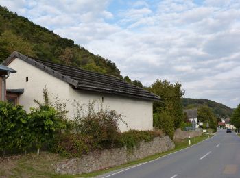
• Trail created by Waldverein Regensburg. Symbol: kein Symbol, aber Wegweiser außerhalb des Thiergartens
![Tocht Te voet Brennberg - T 6 Frauenzell - Bach/Do. - Photo](https://media.geolcdn.com/t/350/260/76ab2507-fb3f-4eb5-aff2-71bc088be386.jpeg&format=jpg&maxdim=2)
![Te voet Te voet](https://static1.geolcdn.com/sitytour/trail-icons/100.png)
Km
Te voet
![](/images/other/stat-length.png)
![](https://static1.geolcdn.com/siteimages/upload/files/1508320355ic_sort_den_pos_24dp.png)
![](https://static1.geolcdn.com/siteimages/upload/files/1508320355ic_sort_den_neg_24dp.png)
![](https://static1.geolcdn.com/siteimages/upload/files/16400158638029165_repeat_loop_refresh_sync_direction_icon.png)
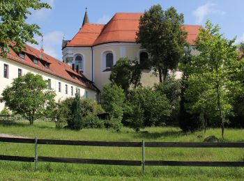
• Trail created by Waldverein Regensburg. Symbol: kein Symbol, aber Wegweiser außerhalb des Thiergartens
![Tocht Te voet Brennberg - T 1 Frauenzell - Hammermühle - Photo](https://media.geolcdn.com/t/350/260/76ab2507-fb3f-4eb5-aff2-71bc088be386.jpeg&format=jpg&maxdim=2)
![Te voet Te voet](https://static1.geolcdn.com/sitytour/trail-icons/100.png)
Km
Te voet
![](/images/other/stat-length.png)
![](https://static1.geolcdn.com/siteimages/upload/files/1508320355ic_sort_den_pos_24dp.png)
![](https://static1.geolcdn.com/siteimages/upload/files/1508320355ic_sort_den_neg_24dp.png)
![](https://static1.geolcdn.com/siteimages/upload/files/16400158638029165_repeat_loop_refresh_sync_direction_icon.png)
• Trail created by Waldverein Regensburg. Symbol: kein Symbol, aber Wegweiser außerhalb des Thiergartens
![Tocht Te voet Lappersdorf - Denkmalweg Lappersdorf - Photo](https://media.geolcdn.com/t/350/260/1df6b977-4296-4b2d-a1d4-b51c3417b304.jpeg&format=jpg&maxdim=2)
![Te voet Te voet](https://static1.geolcdn.com/sitytour/trail-icons/100.png)
Km
Te voet
![](/images/other/stat-length.png)
![](https://static1.geolcdn.com/siteimages/upload/files/1508320355ic_sort_den_pos_24dp.png)
![](https://static1.geolcdn.com/siteimages/upload/files/1508320355ic_sort_den_neg_24dp.png)
![](https://static1.geolcdn.com/siteimages/upload/files/16400158638029165_repeat_loop_refresh_sync_direction_icon.png)
• Trail created by Gemeinde Lappersdorf. Symbol: Auf weißem, quadratischen Grund mit grünem Rand in schwarz ein histor...
![Tocht Te voet Lappersdorf - Besinnungsweg Hainsacker - Photo](https://media.geolcdn.com/t/350/260/1df6b977-4296-4b2d-a1d4-b51c3417b304.jpeg&format=jpg&maxdim=2)
![Te voet Te voet](https://static1.geolcdn.com/sitytour/trail-icons/100.png)
Km
Te voet
![](/images/other/stat-length.png)
![](https://static1.geolcdn.com/siteimages/upload/files/1508320355ic_sort_den_pos_24dp.png)
![](https://static1.geolcdn.com/siteimages/upload/files/1508320355ic_sort_den_neg_24dp.png)
![](https://static1.geolcdn.com/siteimages/upload/files/16400158638029165_repeat_loop_refresh_sync_direction_icon.png)
• Trail created by Gemeinde Lappersdorf. Symbol: Auf weißem, quadratischen Grund mit gelbem Rand eine schwarze Zeichnu...
20 tochten weergegeven op 92
Gratisgps-wandelapplicatie