Ahorntal, Landkreis Bayreuth, Te voet: Top van de beste wandelroutes, trajecten, tochten en wandelingen

Ahorntal: Ontdek de beste tochten: 9 te voet. Al deze tochten, trajecten, routes en outdoor activiteiten zijn beschikbaar in onze SityTrail-apps voor smartphones en tablets.


De beste trajecten (9)
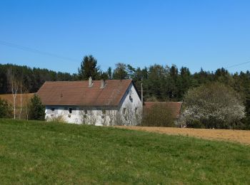
Tocht Te voet Ahorntal - Zu Höhlenbär und Millionär - Photo
Te voet 8.276
Km
PRO

Te voet

Gemakkelijk
Ahorntal, Beieren, Landkreis Bayreuth, Germany
8,3 km | 11,6 km-effort
2h 38min
251 m
251 m
Ja
SityTrail - itinéraires balisés pédestres

• Trail created by Gemeinde Ahorntal. abgeschlossen (März 2014, by cycling_zno) Symbol: Blauer Ring auf weißem Grund
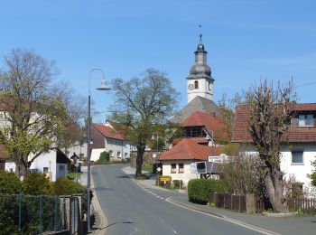
Tocht Te voet Ahorntal - Rundweg Ahorntal (Roter Ring) - Photo
Te voet 3.964
Km
PRO

Te voet

Gemakkelijk
Ahorntal, Beieren, Landkreis Bayreuth, Germany
4 km | 5,5 km-effort
1h 14min
116 m
107 m
Neen
SityTrail - itinéraires balisés pédestres

• Trail created by Gemeinde Ahorntal. abeschossen (Feb. 2014, by cycling_zno) Symbol: Roter Ring auf weißem Grund
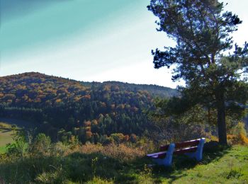
Tocht Te voet Ahorntal - Rundweg Ahorntal (Schwarzer Ring) - Photo
Te voet 6.214
Km
PRO

Te voet

Gemakkelijk
Ahorntal, Beieren, Landkreis Bayreuth, Germany
6,2 km | 8,8 km-effort
1h 59min
194 m
191 m
Ja
SityTrail - itinéraires balisés pédestres

• Trail created by Gemeinde Ahorntal. abeschossen (Feb. 2014, by cycling_zno) Symbol: Schwarzer Ring auf weißem Grund
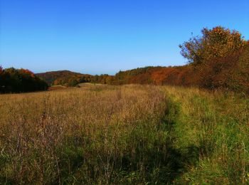
Tocht Te voet Ahorntal - Rundweg Ahorntal (Grüner Ring) - Photo
Te voet 5.303
Km
PRO

Te voet

Gemakkelijk
Ahorntal, Beieren, Landkreis Bayreuth, Germany
5,3 km | 7,6 km-effort
1h 43min
173 m
174 m
Ja
SityTrail - itinéraires balisés pédestres

• Trail created by Gemeinde Ahorntal. abeschossen (Feb. 2014, by cycling_zno) Symbol: Grüner Ring auf weißem Grund
Tocht Te voet Ahorntal - Muthmannsreuth Rundwanderweg Nr. 5 - Photo
Te voet 12.145
Km
PRO

Te voet

Gemakkelijk
Ahorntal, Beieren, Landkreis Bayreuth, Germany
12,1 km | 15,6 km-effort
3h 32min
257 m
251 m
Ja
SityTrail - itinéraires balisés pédestres

• Trail created by Fränkische Schweiz Verein. Symbol: weiße 5 auf grünem Grund
Tocht Te voet Ahorntal - Kleiner Ahorntal Rundweg - Photo
Te voet 4.224
Km
PRO

Te voet

Gemakkelijk
Ahorntal, Beieren, Landkreis Bayreuth, Germany
4,2 km | 5,3 km-effort
1h 11min
66 m
111 m
Neen
SityTrail - itinéraires balisés pédestres

• Trail created by Gemeinde Ahorntal. Wiederspruch tags name-description Symbol: Rotes Ahornblatt

Tocht Te voet Ahorntal - Großer Ahorntalrundweg - Photo
Te voet 22.511
Km
PRO

Te voet

Moeilijk
Ahorntal, Beieren, Landkreis Bayreuth, Germany
23 km | 32 km-effort
7h 9min
674 m
681 m
Ja
SityTrail - itinéraires balisés pédestres

• Trail created by Gemeinde Ahorntal. Symbol: Grünes Ahornblatt

Tocht Te voet Ahorntal - Ahorntaler Bierwanderweg - Photo
Te voet 11.49
Km
PRO

Te voet

Gemakkelijk
Ahorntal, Beieren, Landkreis Bayreuth, Germany
11,5 km | 14,7 km-effort
3h 20min
227 m
294 m
Neen
SityTrail - itinéraires balisés pédestres

Tocht Te voet Ahorntal - Rundweg Tüchersfeld-Zauppenberg - Photo
Te voet 14.103
Km
PRO

Te voet

Gemakkelijk
Ahorntal, Beieren, Landkreis Bayreuth, Germany
14,1 km | 19 km-effort
4h 18min
365 m
365 m
Ja
SityTrail - itinéraires balisés pédestres

• Trail created by Fränkische-Schweiz-Verein. abeschossen (April 2013 by cycling_zno) Symbol: Grüner Punkt auf weißem...

9 tochten weergegeven op 9

Gratisgps-wandelapplicatie

Logo SityTrail SityTrail

IGN / Geografische instituten

SityTrail uit de App Store downloaden SityTrail uit Google Play downloaden

Logo SityTrail SityTrail World

De wereld gaat voor u open

SityTrail uit de App Store downloaden SityTrail uit Google Play downloaden SityTrail op Huawei AppGallery downloaden

Activiteiten

Sluiten
Mijn abonnementen