![](/images/other/stat-length.png)
- Tochten
- Te voet
- Germany
- Beieren
- Landkreis Bayreuth
- Pegnitz
Pegnitz, Landkreis Bayreuth, Te voet: Top van de beste wandelroutes, trajecten, tochten en wandelingen
Pegnitz: Ontdek de beste tochten: 9 te voet. Al deze tochten, trajecten, routes en outdoor activiteiten zijn beschikbaar in onze SityTrail-apps voor smartphones en tablets.
De beste trajecten (9)
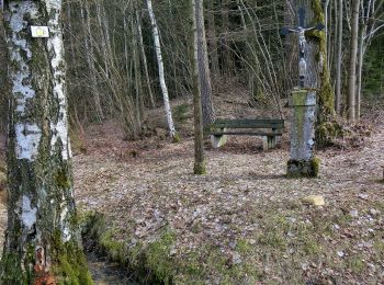
![Tocht Te voet Pegnitz - Trockau Rundwanderweg Nr. 2 - Photo](https://media.geolcdn.com/t/350/260/092170c5-4be3-4faa-84b1-3e3f7e2b6cfb.jpeg&format=jpg&maxdim=2)
![Te voet Te voet](https://static1.geolcdn.com/sitytour/trail-icons/100.png)
Km
Te voet
![](/images/other/stat-length.png)
![](https://static1.geolcdn.com/siteimages/upload/files/1508320355ic_sort_den_pos_24dp.png)
![](https://static1.geolcdn.com/siteimages/upload/files/1508320355ic_sort_den_neg_24dp.png)
![](https://static1.geolcdn.com/siteimages/upload/files/16400158638029165_repeat_loop_refresh_sync_direction_icon.png)
• Trail created by Stadt Pegnitz. abgeschlossen (April 2013 by cycling_zno) Symbol: weiße 2 auf grünem Grund
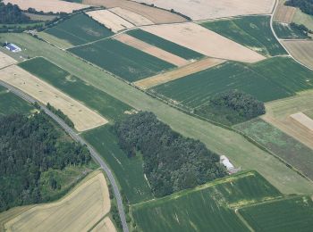
![Tocht Te voet Pegnitz - Troschenreuth-Pegnitz - Photo](https://media.geolcdn.com/t/350/260/e89902d0-6861-44a1-b916-9efd51c5ee6e.jpeg&format=jpg&maxdim=2)
![Te voet Te voet](https://static1.geolcdn.com/sitytour/trail-icons/100.png)
Km
Te voet
![](/images/other/stat-length.png)
![](https://static1.geolcdn.com/siteimages/upload/files/1508320355ic_sort_den_pos_24dp.png)
![](https://static1.geolcdn.com/siteimages/upload/files/1508320355ic_sort_den_neg_24dp.png)
![](https://static1.geolcdn.com/siteimages/upload/files/16400158638029165_repeat_loop_refresh_sync_direction_icon.png)
• Trail created by Stadt Pegnitz. abgeschlossen (April 2013 by cycling_zno) Symbol: gelbe Raute auf weißem Grund
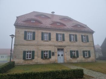
![Tocht Te voet Pegnitz - Trockau Rundwanderweg Nr. 7 - Photo](https://media.geolcdn.com/t/350/260/a0656a20-a6e0-4495-8022-acb3e37b6ebd.jpeg&format=jpg&maxdim=2)
![Te voet Te voet](https://static1.geolcdn.com/sitytour/trail-icons/100.png)
Km
Te voet
![](/images/other/stat-length.png)
![](https://static1.geolcdn.com/siteimages/upload/files/1508320355ic_sort_den_pos_24dp.png)
![](https://static1.geolcdn.com/siteimages/upload/files/1508320355ic_sort_den_neg_24dp.png)
![](https://static1.geolcdn.com/siteimages/upload/files/16400158638029165_repeat_loop_refresh_sync_direction_icon.png)
• Trail created by Fränkische Schweiz Verein. Symbol: weiße 7 auf grünem Grund
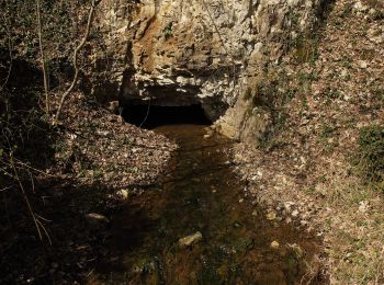
![Tocht Te voet Pegnitz - Pegnitz-Hubertussteig - Photo](https://media.geolcdn.com/t/350/260/dd95a5ee-81fe-4021-9dea-2fd132ced311.jpeg&format=jpg&maxdim=2)
![Te voet Te voet](https://static1.geolcdn.com/sitytour/trail-icons/100.png)
Km
Te voet
![](/images/other/stat-length.png)
![](https://static1.geolcdn.com/siteimages/upload/files/1508320355ic_sort_den_pos_24dp.png)
![](https://static1.geolcdn.com/siteimages/upload/files/1508320355ic_sort_den_neg_24dp.png)
![](https://static1.geolcdn.com/siteimages/upload/files/16400158638029165_repeat_loop_refresh_sync_direction_icon.png)
• Trail created by Stadt Pegnitz. abgeschlossen (April 2013 by cycling_zno) Symbol: Blaues Dreicke auf weißem Grund
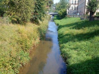
![Tocht Te voet Pegnitz - Rundwanderweg Eichblattweg - Photo](https://media.geolcdn.com/t/350/260/622f6d14-89fa-44cd-b76c-d49716e21ed3.jpeg&format=jpg&maxdim=2)
![Te voet Te voet](https://static1.geolcdn.com/sitytour/trail-icons/100.png)
Km
Te voet
![](/images/other/stat-length.png)
![](https://static1.geolcdn.com/siteimages/upload/files/1508320355ic_sort_den_pos_24dp.png)
![](https://static1.geolcdn.com/siteimages/upload/files/1508320355ic_sort_den_neg_24dp.png)
![](https://static1.geolcdn.com/siteimages/upload/files/16400158638029165_repeat_loop_refresh_sync_direction_icon.png)
• Trail created by Stadt Pegnitz. Symbol: grünes Eichblatt
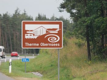
![Tocht Te voet Pegnitz - Weiglathal Rundwanderweg Nr. 1 - Photo](https://media.geolcdn.com/t/350/260/70e2c283-c993-4dc3-bb0f-b34a79cc69e3.jpeg&format=jpg&maxdim=2)
![Te voet Te voet](https://static1.geolcdn.com/sitytour/trail-icons/100.png)
Km
Te voet
![](/images/other/stat-length.png)
![](https://static1.geolcdn.com/siteimages/upload/files/1508320355ic_sort_den_pos_24dp.png)
![](https://static1.geolcdn.com/siteimages/upload/files/1508320355ic_sort_den_neg_24dp.png)
![](https://static1.geolcdn.com/siteimages/upload/files/16400158638029165_repeat_loop_refresh_sync_direction_icon.png)
• Trail created by Stadt Pegnitz. abgeschlossen (April 2013 by cycling_zno) Symbol: weiße 1 auf grünem Grund
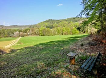
![Tocht Te voet Pegnitz - Rundweg Hollenberg 4 grün - Photo](https://media.geolcdn.com/t/350/260/0232161c-a631-422e-b5ee-9dc50dae2357.jpeg&format=jpg&maxdim=2)
![Te voet Te voet](https://static1.geolcdn.com/sitytour/trail-icons/100.png)
Km
Te voet
![](/images/other/stat-length.png)
![](https://static1.geolcdn.com/siteimages/upload/files/1508320355ic_sort_den_pos_24dp.png)
![](https://static1.geolcdn.com/siteimages/upload/files/1508320355ic_sort_den_neg_24dp.png)
![](https://static1.geolcdn.com/siteimages/upload/files/16400158638029165_repeat_loop_refresh_sync_direction_icon.png)
• Trail created by Stadt Pegnitz. abgeschlossen (April 2013 by cycling_zno) Symbol: weisse 4 auf grünem Grund
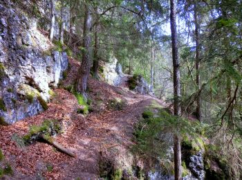
![Tocht Te voet Pegnitz - Rundweg Hollenberg 2 grün - Photo](https://media.geolcdn.com/t/350/260/764a4d59-ca54-450a-b87c-fd0e0f934855.jpeg&format=jpg&maxdim=2)
![Te voet Te voet](https://static1.geolcdn.com/sitytour/trail-icons/100.png)
Km
Te voet
![](/images/other/stat-length.png)
![](https://static1.geolcdn.com/siteimages/upload/files/1508320355ic_sort_den_pos_24dp.png)
![](https://static1.geolcdn.com/siteimages/upload/files/1508320355ic_sort_den_neg_24dp.png)
![](https://static1.geolcdn.com/siteimages/upload/files/16400158638029165_repeat_loop_refresh_sync_direction_icon.png)
• Trail created by Stadt Pegnitz. abgeschlossen (April 2013 by cycling_zno) Symbol: weisse 2 auf grünem Grund
![Tocht Te voet Pegnitz - Rund um Pegnitz - Photo](https://media.geolcdn.com/t/350/260/9efdbe87-e874-44b5-8c82-5d6175700c3c.jpeg&format=jpg&maxdim=2)
![Te voet Te voet](https://static1.geolcdn.com/sitytour/trail-icons/100.png)
Km
Te voet
![](/images/other/stat-length.png)
![](https://static1.geolcdn.com/siteimages/upload/files/1508320355ic_sort_den_pos_24dp.png)
![](https://static1.geolcdn.com/siteimages/upload/files/1508320355ic_sort_den_neg_24dp.png)
![](https://static1.geolcdn.com/siteimages/upload/files/16400158638029165_repeat_loop_refresh_sync_direction_icon.png)
• Trail created by Stadt Pegnitz. abgeschlossen (April 2013 by cycling_zno) Symbol: Grüner Ring auf weißem Grund
9 tochten weergegeven op 9
Gratisgps-wandelapplicatie