


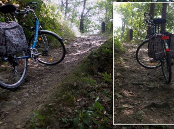
3,8 km | 5,5 km-effort
Dippoldiswalde: Ontdek de beste tochten: 12 te voet. Al deze tochten, trajecten, routes en outdoor activiteiten zijn beschikbaar in onze SityTrail-apps voor smartphones en tablets.
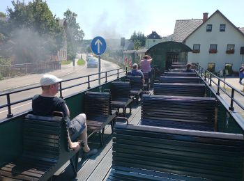
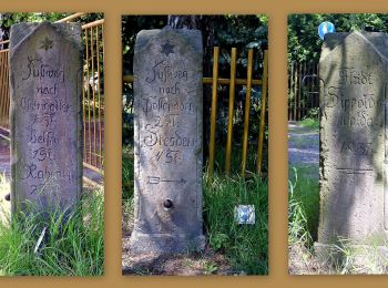
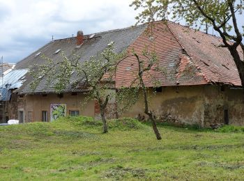
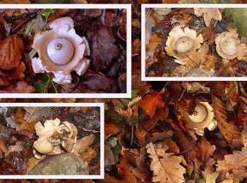
Te voet


• Trail created by Gemeinde Schmiedberg. Symbol: Grüner Balken auf weißem Grund
Te voet
• Trail created by Gemeinde Schmiedberg. Symbol: Grüner Balken auf weißem Grund
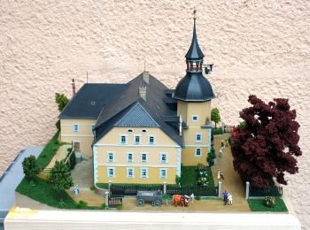
Te voet
• Trail created by Gemeinde Schmiedberg. Website: https://www.schmiedeberg.net/inhalte/schmiedeberg/_inhalt/tourismu...
Te voet
• muss noch aufgeteilt werden - zur Zeit noch sehr kunterbunt Symbol: Grüner Balken auf weißem Grund
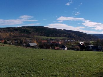
Te voet
• Symbol: Grüner Punkt auf weißen Grund
Te voet
• Symbol: Gelber Strich auf weißem Grund
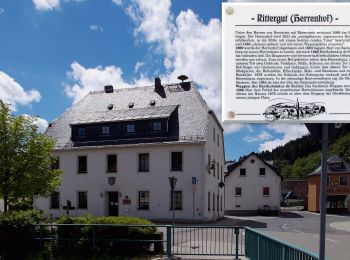
Te voet
• Trail created by Gemeinde Schmiedeberg. Symbol: Grüner Punkt auf weißem Grund
Te voet
Te voet

Te voet
• Gelber Balken Symbol: Gelber Strich auf weißem Grund
Te voet
• Grüner Strich Symbol: Grüner Strich auf weißem Grund
Te voet
• Trail created by Gemeinde Dippoldiswalde. nur teilweise fertig
12 tochten weergegeven op 12
Gratisgps-wandelapplicatie
 SityTrail
IGN / Geografische instituten
SityTrail World
De wereld gaat voor u open