


4,9 km | 6,9 km-effort
Boudry: Ontdek de beste tochten: 3 te voet en 9 stappen. Al deze tochten, trajecten, routes en outdoor activiteiten zijn beschikbaar in onze SityTrail-apps voor smartphones en tablets.

Te voet


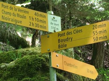
• Trail created by Neuchâtel Rando. Symbol: losange jaune
Te voet
• Trail created by Neuchâtel Rando. Treymont - fixme Symbol: losange jaune
Te voet
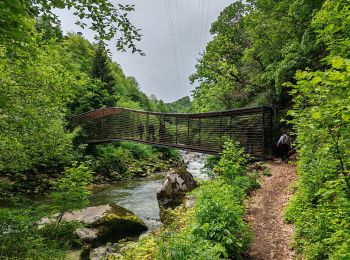
• Trail created by Neuchâtel Rando. Pont des Clées-Forêt de Boudry Symbol: losange jaune
Stappen

Stappen
•
Stappen
Stappen
Stappen
Stappen
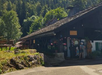
• Départ Boudry
Stappen
Stappen
•
Stappen
•
12 tochten weergegeven op 12
Gratisgps-wandelapplicatie
 SityTrail
IGN / Geografische instituten
SityTrail World
De wereld gaat voor u open