


5,9 km | 9,8 km-effort
Bezirk Dielsdorf: Ontdek de beste tochten: 61 te voet en 1 stappen. Al deze tochten, trajecten, routes en outdoor activiteiten zijn beschikbaar in onze SityTrail-apps voor smartphones en tablets.
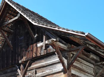
Te voet


• Trail created by Zürcher Wanderwege ZAW. Symbol: gelbe Raute
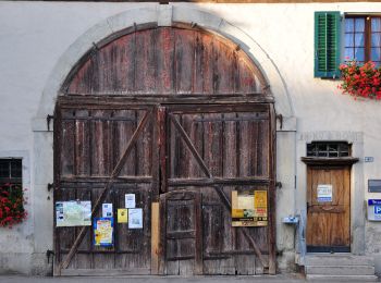
Te voet
• Trail created by Zürcher Wanderwege ZAW. Symbol: gelbe Raute
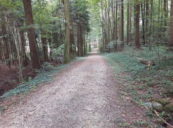
Te voet
• Trail created by Zürcher Wanderwege ZAW. Symbol: gelbe Raute
Te voet
• Trail created by Zürcher Wanderwege ZAW. Symbol: gelbe Raute
Te voet
• Trail created by Zürcher Wanderwege ZAW. Symbol: gelbe Raute
Te voet
• Trail created by Zürcher Wanderwege ZAW. Symbol: gelbe Raute

Te voet
• Trail created by Zürcher Wanderwege ZAW. Symbol: gelbe Raute
Te voet
• Trail created by Zürcher Wanderwege ZAW. Symbol: gelbe Raute
Te voet
• Symbol: gelbe Raute
Te voet
• Trail created by Zürcher Wanderwege ZAW. Symbol: gelbe Raute
Te voet
• Trail created by Zürcher Wanderwege ZAW. Symbol: gelbe Raute
Te voet
• Trail created by Zürcher Wanderwege ZAW. Symbol: gelbe Raute

Te voet
• Trail created by Zürcher Wanderwege ZAW. Symbol: gelbe Raute

Te voet
• Trail created by Zürcher Wanderwege ZAW. Symbol: gelbe Raute

Te voet
• Trail created by Zürcher Wanderwege ZAW. Symbol: gelbe Raute
Te voet
• Trail created by Zürcher Wanderwege ZAW. Symbol: gelbe Raute
Te voet
• Trail created by Zürcher Wanderwege ZAW. Symbol: gelbe Raute

Te voet
• Trail created by Zürcher Wanderwege ZAW. Symbol: gelbe Raute
Te voet
• Trail created by Zürcher Wanderwege ZAW. Symbol: gelbe Raute

Te voet
• Trail created by Zürcher Wanderwege ZAW. Symbol: gelbe Raute
20 tochten weergegeven op 62
Gratisgps-wandelapplicatie
 SityTrail
IGN / Geografische instituten
SityTrail World
De wereld gaat voor u open