


17,9 km | 22 km-effort
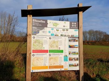
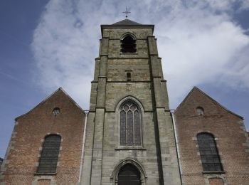
Elzele: Ontdek de beste tochten: 8 te voet, 85 stappen, 3 noords wandelen en 2 lopen. Al deze tochten, trajecten, routes en outdoor activiteiten zijn beschikbaar in onze SityTrail-apps voor smartphones en tablets.

Stappen


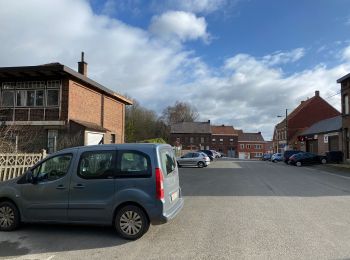
• Par monts et par vaux dans le Pays des Collines. Ellezelles – Flobecq – Grand Monchaut – Frasnes – Ellezelles. Plongé...
Stappen
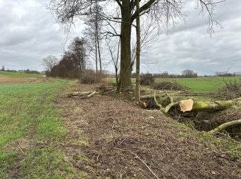
Te voet
• Trail created by Wallonie Picarde (Antenne Tournai) . Deze landelijke wandeling biedt een mooie escapade in het h...

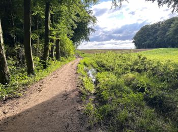
Te voet
• Trail created by Wallonie Picarde (Antenne Tournai) . Buissenal en Oeudeghien kennen een heuvelachtig reliëf. Ze bie...

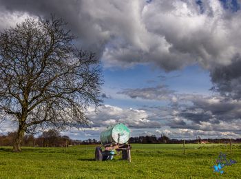
Te voet
• Trail created by Wallonie Picarde (Antenne Tournai) . Een weg over de heuvelrug brengt u naar het Filosofenkruis. Da...
Te voet
• Trail created by Wallonie Picarde (Antenne Tournai) .

Stappen
Stappen
Stappen
Stappen
Stappen
Stappen
• Par monts et par vaux dans le Pays des Collines. Ellezelles – Flobecq – Grand Monchaut – Frasnes – Ellezelles. Plongé...
Stappen
Stappen
Stappen
Stappen
Stappen
Te voet
Stappen
Stappen
20 tochten weergegeven op 98
Gratisgps-wandelapplicatie
 SityTrail
IGN / Geografische instituten
SityTrail World
De wereld gaat voor u open