


24 km | 29 km-effort
Mettet: Ontdek de beste tochten: 9 te voet, 235 stappen, 20 noords wandelen en 24 lopen. Al deze tochten, trajecten, routes en outdoor activiteiten zijn beschikbaar in onze SityTrail-apps voor smartphones en tablets.
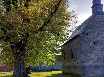
Stappen


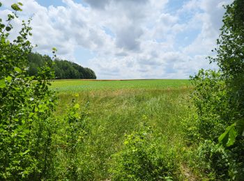
Stappen
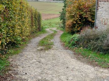
Stappen
• Ermeton-sur-Biert, petit village rural, calme et reposant, situé dans une vallée verdoyante de la Province de Namur, ...

Stappen
• Cette promenade est une version raccourcie du circuit De Biesme à Oret au départ du village de Biesme. Détails de l...

Stappen

Stappen

Stappen
Stappen

Te voet
• Trail created by Vallée de la Meuse Namur-Dinant. Gemakkelijke wandeling met uitzicht op de dorpen Bambois en Mai...
Stappen

Stappen
Stappen
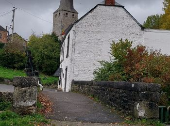
• Jolie balade autour de l'Abbaye de Brogne dans les campagnes de Saint-Gérard
Stappen
Stappen
Stappen
Stappen
Stappen
Stappen
Stappen
Stappen
20 tochten weergegeven op 286
Gratisgps-wandelapplicatie
 SityTrail
IGN / Geografische instituten
SityTrail World
De wereld gaat voor u open