


17 km | 23 km-effort
Assesse: Ontdek de beste tochten: 43 te voet, 275 stappen, 18 noords wandelen, 6 lopen en 5 trail. Al deze tochten, trajecten, routes en outdoor activiteiten zijn beschikbaar in onze SityTrail-apps voor smartphones en tablets.
Stappen


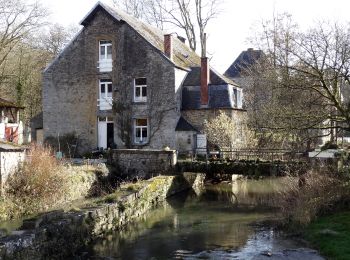
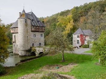
• Crupet – Spontin – Centre géographique de Wallonie – Spontin – Durnal – Crupet Remarque : Possibilité de raccourci à...

Stappen
• Crupet – Spontin – Centre géographique de Wallonie – Spontin – Durnal – Crupet Remarque : Possibilité de raccourci à...
Stappen
• Découvrez, ou redécouvrez, le paysage qui vous entoure, se dessinant entre collines et vallées… Grâce à une table did...
Stappen
Stappen
Stappen
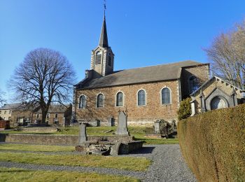
• Deze wandeling zet de omgeving van het dorp Crupet in de kijker, met zijn minder bekende panoramische uitzichten die ...
Stappen
• Deze route biedt U de mogelijkheid kennis te maken met de erfgoed van Sorinne-la-Longue. Een rondwandeling die toegan...
Stappen
• Deze voetganger lus vertrekkend van Assesse slingert door bos en veld tot aan het bos van Sorinne. De site bevat vers...
Stappen
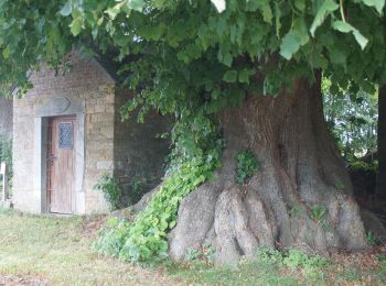
• Deze voetganger lus biedt de gelegenheid tot de ontdekking van Florée en zijn gehucht Maibelle, waar een eeuwenoude l...

Stappen
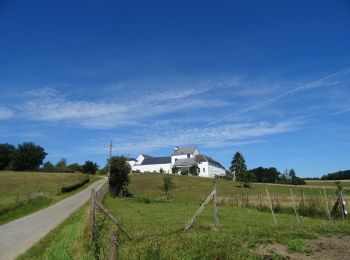
• Deze voettocht vertrekkend van Assesse doorloopt het platteland rondom het dorp en biedt uitzichten die de moeite waa...
Stappen
Stappen
Te voet
Stappen
• Marche belle région
Stappen
• Deze route biedt U de mogelijkheid kennis te maken met de erfgoed van Florée. Een rondwandeling die toegangelijk is m...
Stappen

Stappen

Te voet
Te voet
Stappen
20 tochten weergegeven op 342
Gratisgps-wandelapplicatie
 SityTrail
IGN / Geografische instituten
SityTrail World
De wereld gaat voor u open