


10,3 km | 12,4 km-effort
Ouffet: Ontdek de beste tochten: 10 te voet, 62 stappen en 6 noords wandelen. Al deze tochten, trajecten, routes en outdoor activiteiten zijn beschikbaar in onze SityTrail-apps voor smartphones en tablets.
Stappen


Stappen

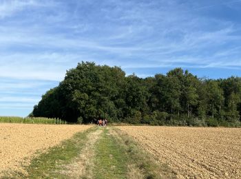
Te voet
• Trail created by Office du Tourisme d'Ouffet.
Stappen
Stappen
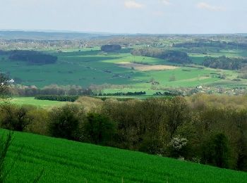
Te voet
• Trail created by Ourthe Vesdre Amblève. Langs straatjes die zo typisch zijn voor de Condroz, met huizen uit lokal...

Te voet
• Trail created by Ourthe Vesdre Amblève. Van bij de vijver van Ellemelle loopt u via velden richting het prachtige...
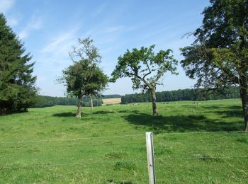
Te voet
• Trail created by Ourthe Vesdre Amblève. Het vertrekpunt is in Warzée op het sportveld vlakbij de school. Twee bui...

Te voet
• Trail created by Ourthe Vesdre Amblève. Ontspannende wandeling, kort maar rijk in termen van het typische regiona...

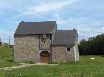
Te voet
• Trail created by Ourthe Vesdre Amblève. U vertrekt vanaf de Grote Markt, door de typische Condruze straten en ont...

Te voet
• Trail created by Ourthe Vesdre Amblève. Vanaf de Grote Markt leidt de wandeling langs enkele kenmerkende gebouwen...
Te voet
• Trail created by Ourthe Vesdre Amblève. Vanuit het centrum van het dorp leidt de oude weg naar Huy u door de veld...

Stappen
Noords wandelen
• marche très agréable sur les plateaux de la Famenne

Stappen
Stappen
Stappen
Stappen
Stappen
20 tochten weergegeven op 78
Gratisgps-wandelapplicatie
 SityTrail
IGN / Geografische instituten
SityTrail World
De wereld gaat voor u open