


22 km | 32 km-effort
Angleur: Ontdek de beste tochten: 9 te voet, 156 stappen, 11 noords wandelen, 13 lopen en 2 trail. Al deze tochten, trajecten, routes en outdoor activiteiten zijn beschikbaar in onze SityTrail-apps voor smartphones en tablets.
Stappen


Stappen

Stappen
Stappen

Stappen
Stappen

Stappen

Stappen

Stappen
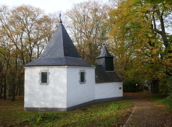
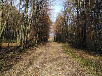
• Boucle bois route

Stappen
Stappen
Stappen
Stappen
Stappen
Stappen
Stappen
Stappen
Stappen

Stappen
Stappen
20 tochten weergegeven op 189
Gratisgps-wandelapplicatie
 SityTrail
IGN / Geografische instituten
SityTrail World
De wereld gaat voor u open