


7,4 km | 12 km-effort
Steyregg: Ontdek de beste tochten: 8 te voet. Al deze tochten, trajecten, routes en outdoor activiteiten zijn beschikbaar in onze SityTrail-apps voor smartphones en tablets.
Te voet


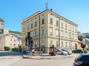
• Trail created by Stadtgemeinde Steyregg. Symbol: rot-weiss-rot
Te voet
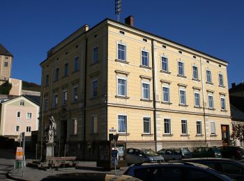
• Trail created by Stadtgemeinde Steyregg. Symbol: rot-weiss-rot
Te voet
• Täglich gehen wir Wege und Straßen, jahrein, jahraus. Wir laden Sie ein, in Steyregg den Weg zu gehen, Ruhe zu finden...
Te voet
• Trail created by Alpenverein TK Linz. Symbol: rot-weiss-rot 50
Te voet
• Symbol: Drei horizontale Streifen in den Farben grün (oben), weiß und blau (unten)
Te voet
• Symbol: white red

Te voet
• Symbol: white red
Te voet
8 tochten weergegeven op 8
Gratisgps-wandelapplicatie
 SityTrail
IGN / Geografische instituten
SityTrail World
De wereld gaat voor u open