


8,1 km | 11,4 km-effort
Bezirk Tamsweg: Ontdek de beste tochten: 1 stappen en 23 te voet. Al deze tochten, trajecten, routes en outdoor activiteiten zijn beschikbaar in onze SityTrail-apps voor smartphones en tablets.
Te voet


• Trail created by TVB Mauterndorf. Symbol: rot-weiß-rot 39
Te voet
• Trail created by TVB Thomatal. Symbol: rot-weiß-rot 69
Te voet
• Trail created by TVB Unternberg. Symbol: rot-weiß-rot 87
Te voet
• Trail created by TVB Unternberg. Symbol: rot-weiß-rot 86
Te voet
• Trail created by TVB Unternberg. Symbol: rot-weiß-rot 85
Te voet
• Trail created by TVB Mauterndorf. Symbol: rot-weiß-rot 91
Te voet
• Trail created by TVB Mariapfarr. Symbol: rot-weiß-rot 37
Te voet
• Trail created by Österreichischer Alpenverein.
Te voet
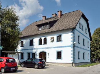
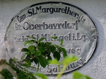
• Trail created by TVB St. Margarethen im Lungau. Symbol: rot-weiß-rot 83
Te voet
• Trail created by TVB St. Margarethen im Lungau. Symbol: rot-weiß-rot 83
Te voet
• Trail created by TVB St. Michael im Lungau. Symbol: rot-weiß-rot 91
Te voet
• Trail created by TVB St. Michael im Lungau. Symbol: rot-weiß-rot 91
Te voet
• Trail created by TVB St. Michael im Lungau. Symbol: rot-weiß-rot 91
Te voet
• Trail created by TVB St. Michael im Lungau. Symbol: rot-weiß-rot 91
Te voet
• Trail created by TVB St. Michael im Lungau. Symbol: rot-weiß-rot 91
Te voet
• Trail created by TVB St. Michael im Lungau. Symbol: rot-weiß-rot 91
Te voet
• Trail created by TVB St. Michael im Lungau. Symbol: rot-weiß-rot 91
Te voet
• Trail created by TVB St. Michael im Lungau. Symbol: rot-weiß-rot 95
Te voet
• Trail created by TVB St. Michael im Lungau. Symbol: rot-weiß-rot 96
Te voet
• Trail created by TVB St. Michael im Lungau. Symbol: rot-weiß-rot 92
20 tochten weergegeven op 24
Gratisgps-wandelapplicatie
 SityTrail
IGN / Geografische instituten
SityTrail World
De wereld gaat voor u open