


3,1 km | 5,5 km-effort
Sankt Veit im Pongau: Ontdek de beste tochten: 10 te voet. Al deze tochten, trajecten, routes en outdoor activiteiten zijn beschikbaar in onze SityTrail-apps voor smartphones en tablets.
Te voet


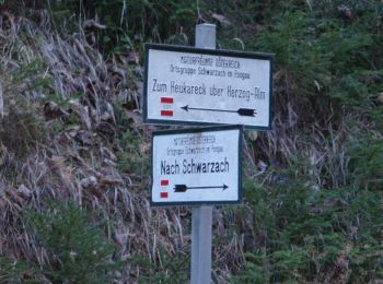
• Trail created by TVB St. Veit - Schwarzach. Symbol: rot-weiss-rot 43
Te voet
• Trail created by TVB St. Veit - Schwarzach. Symbol: rot-weiss-rot 45
Te voet
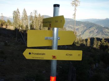
• Trail created by Seelackenmuseum. Symbol: braune Tafeln mit weißer Schrift
Te voet
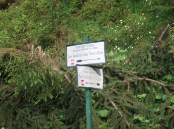
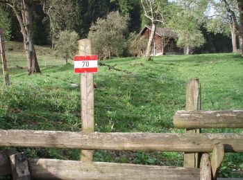
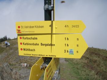
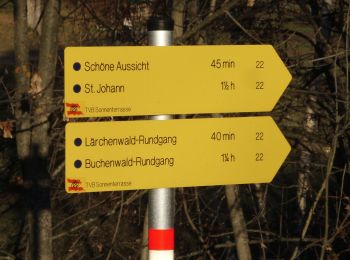
• Trail created by TVB St. Veit - Schwarzach. Symbol: rot-weiss-rot 23c
Te voet
• Trail created by TVB St. Veit - Schwarzach. Symbol: rot-weiss-rot 27a
Te voet
• Trail created by TVB St. Veit - Schwarzach. Symbol: rot-weiss-rot 27
Te voet
• Trail created by TVB St. Veit - Schwarzach. Symbol: rot-weiss-rot 24
Te voet
• Trail created by TVB St. Veit - Schwarzach. Symbol: rot-weiss-rot 23b

Te voet
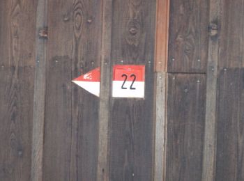
• Trail created by TVB St. Veit - Schwarzach. Symbol: rot-weiss-rot 23

Te voet
• Trail created by TVB St. Veit - Schwarzach. Symbol: rot-weiss-rot 23a
10 tochten weergegeven op 10
Gratisgps-wandelapplicatie
 SityTrail
IGN / Geografische instituten
SityTrail World
De wereld gaat voor u open