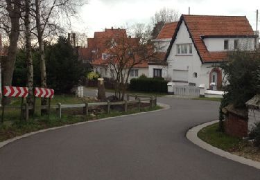
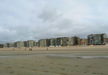
7,8 km | 8,4 km-effort
DE PANNE
Titounet
Utente
Lunghezza
12,3 km
Altitudine massima
18 m
Dislivello positivo
93 m
Km-Effort
13,5 km
Altitudine minima
1 m
Dislivello negativo
93 m
Boucle
Sì
Data di creazione :
2016-11-20 00:00:00.0
Ultima modifica :
2016-11-20 00:00:00.0
3h00
Difficoltà : Facile
Applicazione GPS da escursionismo GRATUITA
Chi siamo
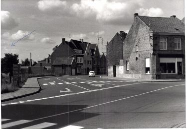
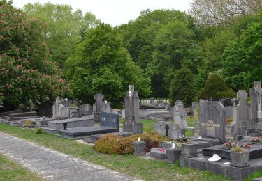
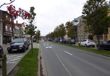
Percorso Marcia di 12,3 km da scoprire a Vlaanderen, West-Vlaanderen, De Panne. Questo percorso è proposto da Titounet.
Descrizione
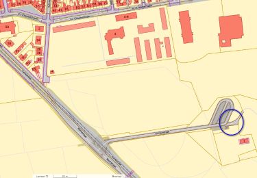
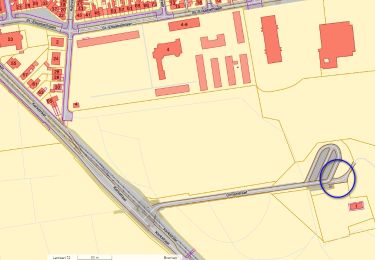
Départ: P du Nachtegal
Vertrek: P. van de Nachtegal
Localizzazione
Paese:
Belgium
Regione :
Vlaanderen
Dipartimento/Provincia :
West-Vlaanderen
Comune :
De Panne
Località :
De Panne
Partenza:(Dec)
Partenza:(UTM)
471793 ; 5660080 (31U) N.
Commenti
Percorsi nelle vicinanze
Circuit de la dune fossile
Marcia
Molto facile
(3)
Ghyvelde,
Alta Francia,
Nord,
France
Sconosciuto
Sì
St. Idesbald et Noorduinen
Marcia
Facile
(2)
Koksijde,
Vlaanderen,
West-Vlaanderen,
Belgium
4,5 km | 4,8 km-effort
1h 4min
Sì
20240613 - TOTEMUS partiel - DE PANNE 16 Km
Mountainbike
Facile
De Panne,
Vlaanderen,
West-Vlaanderen,
Belgium
15,9 km | 16,8 km-effort
2h 26min
No
20240612 - TOTEMUS De Panne - 6.7 Km
Marcia
Medio
(1)
De Panne,
Vlaanderen,
West-Vlaanderen,
Belgium
6,7 km | 7,3 km-effort
1h 39min
Sì
IJslandvaarders
A piedi
Facile
Koksijde,
Vlaanderen,
West-Vlaanderen,
Belgium
5,3 km | 5,7 km-effort
1h 17min
Sì
Stadswandelroute Veurne
A piedi
Facile
(1)
Veurne,
Vlaanderen,
West-Vlaanderen,
Belgium
4,6 km | 4,9 km-effort
1h 7min
Sì
Artiestenwandelroute
A piedi
Facile
Koksijde,
Vlaanderen,
West-Vlaanderen,
Belgium
9,2 km | 9,9 km-effort
2h 14min
Sì
Westhoek wandelroute
A piedi
Facile
(1)
De Panne,
Vlaanderen,
West-Vlaanderen,
Belgium
11,2 km | 12,2 km-effort
2h 46min
Sì
Doornpanne wandelroute
A piedi
Facile
Koksijde,
Vlaanderen,
West-Vlaanderen,
Belgium
7,7 km | 8,4 km-effort
1h 54min
Sì