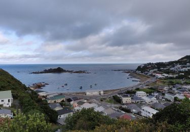
6,4 km | 9,2 km-effort
Te Araroa - 06 Wellington - f Lambton Quay, Wellington to Shorland Park, Island Bay
SityTrail - itinéraires balisés pédestres
Tous les sentiers balisés d’Europe GUIDE+
Lunghezza
13,6 km
Altitudine massima
173 m
Dislivello positivo
407 m
Km-Effort
19,1 km
Altitudine minima
0 m
Dislivello negativo
430 m
Boucle
No
Tag
Data di creazione :
2025-02-07 18:58:10.193
Ultima modifica :
2025-02-07 18:58:10.193
4h20
Difficoltà : Facile
Applicazione GPS da escursionismo GRATUITA
Chi siamo
Percorso A piedi di 13,6 km da scoprire a Wellington, Wellington City. Questo percorso è proposto da SityTrail - itinéraires balisés pédestres.
Localizzazione
Paese:
New Zealand
Regione :
Wellington
Dipartimento/Provincia :
Wellington City
Comune :
Unknown
Località :
Unknown
Partenza:(Dec)
Partenza:(UTM)
313802 ; 5427813 (60G) S.
Commenti
Percorsi nelle vicinanze
Polhill Reserve loop shared way
A piedi
Facile
,
Wellington,
Wellington City,
New Zealand
2h 5min
Sì
Southern Walkway
A piedi
Facile
,
Wellington,
Wellington City,
New Zealand
9,9 km | 14,6 km-effort
3h 19min
No
City to Sea Walkway
A piedi
Medio
,
Wellington,
Wellington City,
New Zealand
13,9 km | 21 km-effort
4h 43min
No
Hutt Road shared path - Wellington to Petone
A piedi
Facile
,
Wellington,
Wellington City,
New Zealand
10,8 km | 12 km-effort
2h 43min
No