


4,9 km | 6,3 km-effort

Tous les sentiers balisés d’Europe GUIDE+


Applicazione GPS da escursionismo GRATUITA
 SityTrail
IGN / Istituti geografici
SityTrail World
Il mondo è tuo
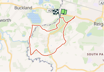
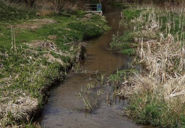
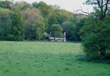
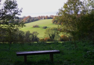
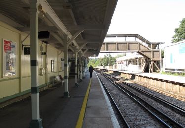
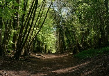
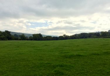
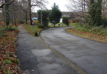
Percorso A piedi di 7,1 km da scoprire a Inghilterra, Surrey, Reigate and Banstead. Questo percorso è proposto da SityTrail - itinéraires balisés pédestres.
Mills & Pillboxes walk from http://www.surreycc.gov.uk
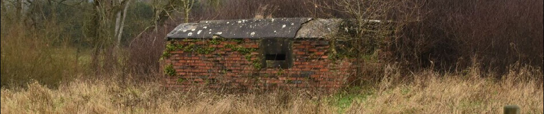
 - Photo 1")
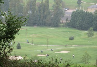
 - Photo 2")
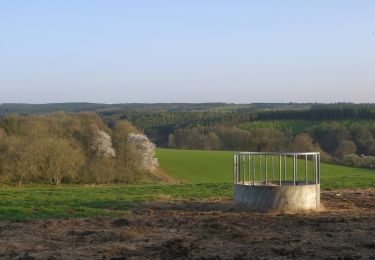
 - Photo 3")
 - Photo 4")
 - Photo 5")
 - Photo 6")
 - Photo 7")
 - Photo 8")
 - Photo 9")
 - Photo 10")
A piedi
A piedi
A piedi
A piedi
A piedi
A piedi
A piedi
A piedi
A piedi