Percorso Marcia Orsières - Lacs de Fenêtre  - Photo
 verbier
verbier

Utente

© OpenStreetMap contributors
Lunghezza
Lunghezza
10,2 km
Altitudine massima
Altitudine massima
2698 m
Dislivello positivo
Dislivello positivo
1139 m
Km-Effort
Km-Effort  
23 km
Altitudine minima
Altitudine minima
1702 m
Dislivello negativo
Dislivello negativo
365 m
Boucle
Boucle
No
Data di creazione :
2014-12-10 00:00:00.0
Ultima modifica :
2014-12-10 00:00:00.0

(0 Recensione)

Marcia
Marcia
3h57
Difficoltà : Sconosciuto

Scannerizza questo codice QR per aprire il percorso nell'applicazione SityTrail

Applicazione GPS da escursionismo GRATUITA

Logo SityTrail SityTrail

IGN / Istituti geografici

Scarica SityTrail dall'App Store Scarica SityTrail da Google Play

Logo SityTrail SityTrail World

Il mondo è tuo

Scarica SityTrail dall'App Store Scarica SityTrail da Google Play Scarica SityTrail da Huawei AppGallery

Chi siamo

Percorso Marcia di 10,2 km da scoprire a Vallese, Entremont, Orsières. Questo percorso è proposto da verbier.

Descrizione

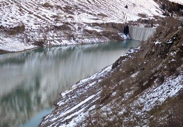
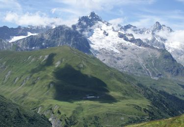
From the high mountain pasture “Les Ars”, go on the path to the pasture of “Plan-La-Chaux”, then take the path to the left to the “Lacs Fenêtre”. The path goes on to the Col Fenêtre, at the frontier between Switzerland and Italy, then go back down for the Grand-St-Bernard pass road. The path follows that road to the arrival at the hospice.
Variant 1: From the “Lacs Fenêtre”, take the path to the left through the other side, to the “Col des Bastillons” and “Col des Chevaux” before to arrive at the Grand-St-Bernard pass.

Profilo altimetrico

Punti di interesse

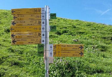
Punto di interesse Orsières - Lacs Fenêtre - Photo
verbier
ORSIÈRES 
Punto di interesse Orsières - Col du Bastillon - Photo
verbier
ORSIÈRES 
Punto di interesse Bourg-Saint-Pierre - Col du Grand-Saint-Bernard - Photo
verbier
BOURG-SAINT-PIERRE 
Punto di interesse Orsières - Ferret - Photo
verbier
ORSIÈRES 

Localizzazione

Paese:
Switzerland
Regione :
Vallese
Dipartimento/Provincia :
Entremont
Comune :
Orsières
Località :
Unknown
Partenza:(Dec)
Partenza:(UTM)
353041 ; 5086464 (32T) N.

Percorsi nelle vicinanze

Percorso A piedi Orsières - Trail Verbier St-Bernard - Traversée - Photo
A piedi
GUIDE+

A piedi

Molto difficile
Orsières, Vallese, Entremont, Switzerland
37 km | 70 km-effort
15h 47min
No
Percorso A piedi Orsières - Sentier des Bergers - Photo
A piedi
GUIDE+

A piedi

Facile
Orsières, Vallese, Entremont, Switzerland
4,8 km | 9,2 km-effort
2h 5min
No
Percorso Marcia Orsières - La Fouly Ferret  - Photo
Marcia
michauxpaul

Marcia

Medio
Orsières, Vallese, Entremont, Switzerland
6,4 km | 9,7 km-effort
2h 58min
Sì
Percorso A piedi Courmayeur - Itinerario 23 Rifugio Dalmazzi - Photo
A piedi
GUIDE+

A piedi

Facile
Courmayeur, Valle d'Aosta, Sconosciuto, Italy
4,1 km | 6,6 km-effort
1h 29min
No
Percorso Marcia Courmayeur - TMB J4 Ref.ELENA - COURMAYEUR - Photo
Marcia
GerardBouche

Marcia

Medio
Courmayeur, Valle d'Aosta, Sconosciuto, Italy
13,5 km | 22 km-effort
4h 18min
No
Percorso Marcia Courmayeur - TMB day 4 - Photo
Marcia
elixpomatia

Marcia

Medio
Courmayeur, Valle d'Aosta, Sconosciuto, Italy
16,6 km | 27 km-effort
5h 37min
No
Percorso Marcia Orsières - La Fouly, Randonée hivernale, Sentier de l''Amône  - Photo
Marcia
verbier

Marcia

Molto facile
(1)
Orsières, Vallese, Entremont, Switzerland
1,9 km | 2,7 km-effort
50min
Sì
Percorso Marcia Orsières - ferret La Foully - Photo
Marcia
michauxpaul

Marcia

Medio
Orsières, Vallese, Entremont, Switzerland
4,6 km | 6,1 km-effort
2h 20min
No
Percorso Marcia Orsières - fully  - Photo
Marcia
suzanne.bron

Marcia

Facile
Orsières, Vallese, Entremont, Switzerland
3,8 km | 4,9 km-effort
1h 19min
No


Chiudi
I miei abbonamenti