10,1 km | 14,9 km-effort
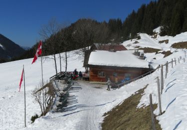
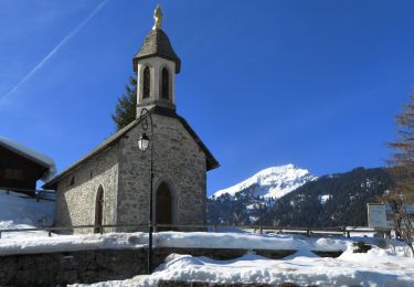
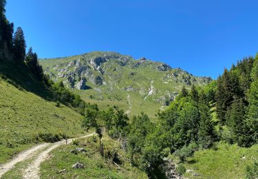
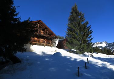
Châtel - col de Fécon et Morgins
marcel.F
Utente
Lunghezza
14 km
Altitudine massima
1874 m
Dislivello positivo
662 m
Km-Effort
23 km
Altitudine minima
1347 m
Dislivello negativo
670 m
Boucle
Sì
Data di creazione :
2024-11-06 08:12:36.974
Ultima modifica :
2024-11-06 16:05:15.937
5h28
Difficoltà : Medio
Applicazione GPS da escursionismo GRATUITA
Chi siamo
Percorso Marcia di 14 km da scoprire a Vallese, Monthey, Troistorrents. Questo percorso è proposto da marcel.F.
Localizzazione
Paese:
Switzerland
Regione :
Vallese
Dipartimento/Provincia :
Monthey
Comune :
Troistorrents
Località :
Unknown
Partenza:(Dec)
Partenza:(UTM)
333953 ; 5124031 (32T) N.
Commenti
Percorsi nelle vicinanze
Cascade boucle 2
Marcia
Difficile
(1)
La Chapelle-d'Abondance,
Auvergne-Rhône-Alpes,
Alta Savoia,
France
3h 23min
Sì
Petite Châtel
Racchette da neve
Medio
Châtel,
Auvergne-Rhône-Alpes,
Alta Savoia,
France
5,7 km | 10,6 km-effort
2h 0min
Sì
Randonnée entre la France et la suisse
Racchette da neve
Facile
Châtel,
Auvergne-Rhône-Alpes,
Alta Savoia,
France
5,8 km | 8,5 km-effort
2h 3min
Sì
Les Mattes
Marcia
Difficile
Châtel,
Auvergne-Rhône-Alpes,
Alta Savoia,
France
11,1 km | 22 km-effort
5h 42min
Sì
les Québales
Racchette da neve
Difficile
Châtel,
Auvergne-Rhône-Alpes,
Alta Savoia,
France
3 km | 8,4 km-effort
2h 0min
No
Morgins - circuit Bonavau, La Truche,La Foilleuse, Savolaire 29.09.18
Marcia
Medio
Troistorrents,
Vallese,
Monthey,
Switzerland
15,1 km | 23 km-effort
4h 50min
Sì
La Foilleuze - Madzé - Morgins
Racchette da neve
Molto facile
Troistorrents,
Vallese,
Monthey,
Switzerland
5,1 km | 7 km-effort
1h 47min
No
Châtel tennis - Chapelle d'Abond
Racchette da neve
Molto facile
Châtel,
Auvergne-Rhône-Alpes,
Alta Savoia,
France
6,9 km | 10 km-effort
2h 31min
No