![](/images/other/stat-length.png)
![Percorso Marcia Diest - S-GR Hageland : Diest - Testelt - Photo](https://media.geolcdn.com/t/1900/400/beaa1ee2-b0d3-44ac-8547-b692b03b5ef6.jpeg&format=pjpeg&maxdim=2)
S-GR Hageland : Diest - Testelt
dauzata
Utente
![Lunghezza](/images/other/stat-length.png)
Lunghezza
15,5 km
![Altitudine massima](https://static1.geolcdn.com/siteimages/upload/files/1508320355ic_sort_altitude_max_24dp.png)
Altitudine massima
62 m
![Dislivello positivo](https://static1.geolcdn.com/siteimages/upload/files/1508320355ic_sort_den_pos_24dp.png)
Dislivello positivo
162 m
![Km-Effort](/images/other/stat-length.png)
Km-Effort
17,7 km
![Altitudine minima](https://static1.geolcdn.com/siteimages/upload/files/1508320355ic_sort_altitude_min_24dp.png)
Altitudine minima
13 m
![Dislivello negativo](https://static1.geolcdn.com/siteimages/upload/files/1508320355ic_sort_den_neg_24dp.png)
Dislivello negativo
171 m
![Boucle](https://static1.geolcdn.com/siteimages/upload/files/16400158638029165_repeat_loop_refresh_sync_direction_icon.png)
Boucle
No
Data di creazione :
2024-05-09 10:08:14.0
Ultima modifica :
2024-05-12 22:49:59.404
![Marcia](https://static1.geolcdn.com/sitytour/trail-icons/101.png)
4h01
Difficoltà : Facile
![Scannerizza questo codice QR per aprire il percorso nell'applicazione SityTrail](https://capi.geolives.com/qq0zvz2zws4bq2lad0pu/sitytour/trails/4047832/qr.png?size=200)
Applicazione GPS da escursionismo GRATUITA
Chi siamo
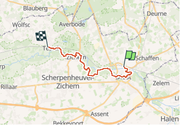
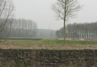
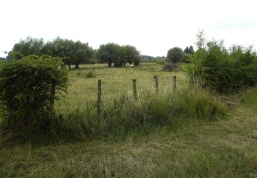
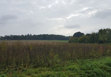
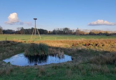
Percorso Marcia di 15,5 km da scoprire a Vlaanderen, Vlaams-Brabant, Diest. Questo percorso è proposto da dauzata.
Descrizione
Départ: Gare de Diest
Arrivée: Gare de Testelt
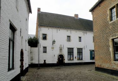
ATTENTION: déviation au niveau du Park Cerckel à Diest en raison de travaux (Mai 2024). J'ai donc fait le tour du béguinage via le GR512.
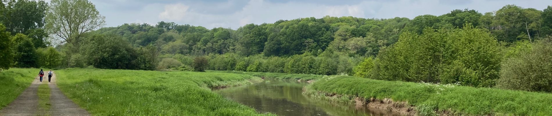
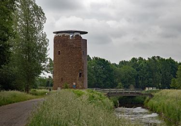
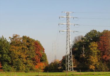
Localizzazione
Paese:
Belgium
Regione :
Vlaanderen
Dipartimento/Provincia :
Vlaams-Brabant
Comune :
Diest
Località :
Diest
Partenza:(Dec)
Partenza:(UTM)
643952 ; 5651029 (31U) N.
Commenti
Percorsi nelle vicinanze
![Percorso A piedi Scherpenheuvel-Zichem - Demerbroeken Oranje bol - Photo](https://media.geolcdn.com/t/375/260/775e052a-ce6f-4462-9c7b-4e4daa1fa011.jpeg&format=jpg&maxdim=2)
![A piedi A piedi](https://static1.geolcdn.com/sitytour/trail-icons/100.png)
Demerbroeken Oranje bol
A piedi
Facile
Scherpenheuvel-Zichem,
Vlaanderen,
Vlaams-Brabant,
Belgium
![](/images/other/stat-length.png)
5,8 km | 6,4 km-effort
1h 27min
![](https://static1.geolcdn.com/siteimages/upload/files/16400158638029165_repeat_loop_refresh_sync_direction_icon.png)
Sì
![Percorso A piedi Tessenderlo - Asdonk Blauwe ruit - Photo](https://media.geolcdn.com/t/375/260/c599fae6-000e-4f9b-be4f-f8004ced1ebf.jpeg&format=jpg&maxdim=2)
![A piedi A piedi](https://static1.geolcdn.com/sitytour/trail-icons/100.png)
Asdonk Blauwe ruit
A piedi
Facile
Tessenderlo,
Vlaanderen,
Limburg,
Belgium
![](/images/other/stat-length.png)
4,3 km | 4,9 km-effort
1h 7min
![](https://static1.geolcdn.com/siteimages/upload/files/16400158638029165_repeat_loop_refresh_sync_direction_icon.png)
Sì
![Percorso A piedi Scherpenheuvel-Zichem - Demerbroeken Rode driehoek - Photo](https://media.geolcdn.com/t/375/260/b8ba7ae9-c0ac-4a35-8696-65f6c1b52038.jpeg&format=jpg&maxdim=2)
![A piedi A piedi](https://static1.geolcdn.com/sitytour/trail-icons/100.png)
Demerbroeken Rode driehoek
A piedi
Facile
Scherpenheuvel-Zichem,
Vlaanderen,
Vlaams-Brabant,
Belgium
![](/images/other/stat-length.png)
8,9 km | 10 km-effort
2h 16min
![](https://static1.geolcdn.com/siteimages/upload/files/16400158638029165_repeat_loop_refresh_sync_direction_icon.png)
Sì
![Percorso A piedi Tessenderlo - Asdonk Rode driehoek - Photo](https://media.geolcdn.com/t/375/260/c599fae6-000e-4f9b-be4f-f8004ced1ebf.jpeg&format=jpg&maxdim=2)
![A piedi A piedi](https://static1.geolcdn.com/sitytour/trail-icons/100.png)
Asdonk Rode driehoek
A piedi
Facile
Tessenderlo,
Vlaanderen,
Limburg,
Belgium
![](/images/other/stat-length.png)
8,6 km | 9,9 km-effort
2h 14min
![](https://static1.geolcdn.com/siteimages/upload/files/16400158638029165_repeat_loop_refresh_sync_direction_icon.png)
Sì
![Percorso A piedi Halen - Zelk Oranje bol - Photo](https://media.geolcdn.com/t/375/260/54f67bfb-93a4-4273-8a07-b47b83b202cf.jpeg&format=jpg&maxdim=2)
![A piedi A piedi](https://static1.geolcdn.com/sitytour/trail-icons/100.png)
Zelk Oranje bol
A piedi
Facile
Halen,
Vlaanderen,
Limburg,
Belgium
![](/images/other/stat-length.png)
5,8 km | 6,6 km-effort
1h 29min
![](https://static1.geolcdn.com/siteimages/upload/files/16400158638029165_repeat_loop_refresh_sync_direction_icon.png)
Sì
![Percorso A piedi Halen - Kartuizerspatiamentum Oranje bol - Photo](https://media.geolcdn.com/t/375/260/9bcbcf4b-6db4-4abd-8824-a8ed4639b90d.jpeg&format=jpg&maxdim=2)
![A piedi A piedi](https://static1.geolcdn.com/sitytour/trail-icons/100.png)
Kartuizerspatiamentum Oranje bol
A piedi
Facile
Halen,
Vlaanderen,
Limburg,
Belgium
![](/images/other/stat-length.png)
5 km | 5,7 km-effort
1h 18min
![](https://static1.geolcdn.com/siteimages/upload/files/16400158638029165_repeat_loop_refresh_sync_direction_icon.png)
Sì
![Percorso A piedi Diest - Webbekoms Broek Rode driehoek - Photo](https://media.geolcdn.com/t/375/260/0dd429c1-6cab-488d-98ab-55bc8e5cd43e.jpeg&format=jpg&maxdim=2)
![A piedi A piedi](https://static1.geolcdn.com/sitytour/trail-icons/100.png)
Webbekoms Broek Rode driehoek
A piedi
Facile
Diest,
Vlaanderen,
Vlaams-Brabant,
Belgium
![](/images/other/stat-length.png)
8,3 km | 8,9 km-effort
2h 1min
![](https://static1.geolcdn.com/siteimages/upload/files/16400158638029165_repeat_loop_refresh_sync_direction_icon.png)
Sì
![Percorso A piedi Diest - Webbekoms Broek Oranje bol - Photo](https://media.geolcdn.com/t/375/260/63361793-794b-4673-9fae-c8cfab674726.jpeg&format=jpg&maxdim=2)
![A piedi A piedi](https://static1.geolcdn.com/sitytour/trail-icons/100.png)
Webbekoms Broek Oranje bol
A piedi
Facile
Diest,
Vlaanderen,
Vlaams-Brabant,
Belgium
![](/images/other/stat-length.png)
4,7 km | 5 km-effort
1h 7min
![](https://static1.geolcdn.com/siteimages/upload/files/16400158638029165_repeat_loop_refresh_sync_direction_icon.png)
Sì
![Percorso A piedi Diest - Webbekoms Broek Groene rechthoek - Photo](https://media.geolcdn.com/t/375/260/0dd429c1-6cab-488d-98ab-55bc8e5cd43e.jpeg&format=jpg&maxdim=2)
![A piedi A piedi](https://static1.geolcdn.com/sitytour/trail-icons/100.png)
Webbekoms Broek Groene rechthoek
A piedi
Facile
Diest,
Vlaanderen,
Vlaams-Brabant,
Belgium
![](/images/other/stat-length.png)
3,3 km | 3,5 km-effort
47min
![](https://static1.geolcdn.com/siteimages/upload/files/16400158638029165_repeat_loop_refresh_sync_direction_icon.png)
Sì