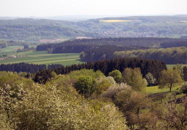
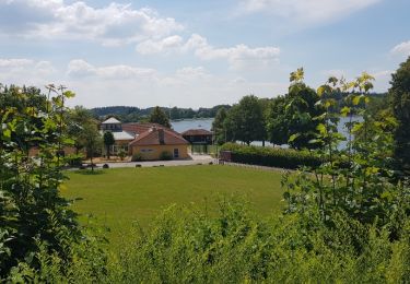
9,7 km | 12,9 km-effort
Wikiloc - Germany: Weiskirchen - 2-Valleys-Trail ('2-Täler-Weg')
pasvraimec
Utente
Lunghezza
13,2 km
Altitudine massima
624 m
Dislivello positivo
411 m
Km-Effort
18,7 km
Altitudine minima
372 m
Dislivello negativo
411 m
Boucle
Sì
Data di creazione :
2023-11-24 10:56:39.909
Ultima modifica :
2023-11-24 10:56:45.009
Applicazione GPS da escursionismo GRATUITA
Chi siamo
Percorso di 13,2 km da scoprire a Saarland, Landkreis Merzig-Wadern, Weiskirchen. Questo percorso è proposto da pasvraimec.
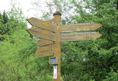
Localizzazione
Paese:
Germany
Regione :
Saarland
Dipartimento/Provincia :
Landkreis Merzig-Wadern
Comune :
Weiskirchen
Località :
Weiskirchen
Partenza:(Dec)
Partenza:(UTM)
339913 ; 5492255 (32U) N.
Commenti
Percorsi nelle vicinanze
2-Täler-Weg
A piedi
Facile
Weiskirchen,
Saarland,
Landkreis Merzig-Wadern,
Germany
8,2 km | 11,3 km-effort
2h 34min
No
Stauseerundweg
A piedi
Facile
Losheim am See,
Saarland,
Landkreis Merzig-Wadern,
Germany
3,8 km | 4,7 km-effort
1h 4min
Sì
Hochwald-Pfad
A piedi
Facile
Weiskirchen,
Saarland,
Landkreis Merzig-Wadern,
Germany
11,6 km | 15,8 km-effort
3h 35min
Sì
Wildkatzenpfad
A piedi
Facile
Weiskirchen,
Saarland,
Landkreis Merzig-Wadern,
Germany
4,4 km | 5,8 km-effort
1h 19min
No
Georgi Panoramaweg
A piedi
Facile
Losheim am See,
Saarland,
Landkreis Merzig-Wadern,
Germany
8,5 km | 10,6 km-effort
2h 24min
No
losheim cooll
Marcia
Molto facile
Losheim am See,
Saarland,
Landkreis Merzig-Wadern,
Germany
3,7 km | 4,6 km-effort
50min
Sì
Losheim 2
Marcia
Medio
Losheim am See,
Saarland,
Landkreis Merzig-Wadern,
Germany
6,7 km | 8,4 km-effort
1h 54min
Sì
Weiskircher Höhen-Tour
A piedi
Facile
Weiskirchen,
Saarland,
Landkreis Merzig-Wadern,
Germany
10,1 km | 13,3 km-effort
3h 1min
No