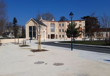
14,6 km | 15,9 km-effort
Romorantin - Montrichard
Wilfried Boultareau
Utente
Lunghezza
62 km
Altitudine massima
121 m
Dislivello positivo
421 m
Km-Effort
67 km
Altitudine minima
56 m
Dislivello negativo
446 m
Boucle
No
Data di creazione :
2023-07-21 07:29:41.444
Ultima modifica :
2023-07-21 14:45:19.607
4h14
Difficoltà : Molto difficile
Applicazione GPS da escursionismo GRATUITA
Chi siamo
Percorso Cicloturismo di 62 km da scoprire a Centro, Loir-et-Cher, Romorantin-Lanthenay. Questo percorso è proposto da Wilfried Boultareau.
Localizzazione
Paese:
France
Regione :
Centro
Dipartimento/Provincia :
Loir-et-Cher
Comune :
Romorantin-Lanthenay
Località :
Unknown
Partenza:(Dec)
Partenza:(UTM)
406071 ; 5245288 (31T) N.
Commenti
Percorsi nelle vicinanze
boucle Romorantin
Corsa a piedi
Molto facile
Romorantin-Lanthenay,
Centro,
Loir-et-Cher,
France
2h 6min
Sì
boucle Romorantin
Camminata nordica
Molto facile
Romorantin-Lanthenay,
Centro,
Loir-et-Cher,
France
7,6 km | 8,3 km-effort
1h 37min
Sì
romo marcilly romo
Bici da strada
Molto facile
Romorantin-Lanthenay,
Centro,
Loir-et-Cher,
France
40 km | 44 km-effort
1h 48min
Sì
Villefranche sur cher
Marcia
Facile
Villefranche-sur-Cher,
Centro,
Loir-et-Cher,
France
11,4 km | 12,5 km-effort
2h 47min
Sì
Romo Valençay
Marcia
Medio
Romorantin-Lanthenay,
Centro,
Loir-et-Cher,
France
36 km | 40 km-effort
7h 26min
No
romorantin
Marcia
Facile
Romorantin-Lanthenay,
Centro,
Loir-et-Cher,
France
11 km | 12,1 km-effort
1h 46min
Sì
villeherviers
Marcia
Facile
Villeherviers,
Centro,
Loir-et-Cher,
France
7,8 km | 8,5 km-effort
1h 51min
Sì
pruniers
Camminata nordica
Molto facile
Pruniers-en-Sologne,
Centro,
Loir-et-Cher,
France
12 km | 13,2 km-effort
2h 41min
Sì