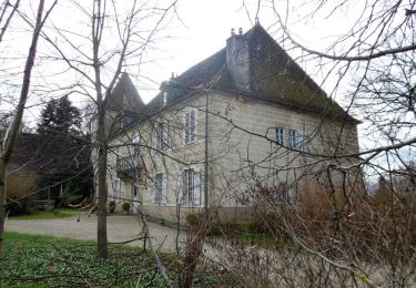
11,8 km | 15,4 km-effort
Dole-foret de Chaux
HB01
Utente
Lunghezza
16,5 km
Altitudine massima
259 m
Dislivello positivo
213 m
Km-Effort
19,4 km
Altitudine minima
199 m
Dislivello negativo
213 m
Boucle
Sì
Data di creazione :
2023-07-10 07:06:22.938
Ultima modifica :
2023-07-10 12:38:21.158
4h26
Difficoltà : Facile
Applicazione GPS da escursionismo GRATUITA
Chi siamo
Percorso Marcia di 16,5 km da scoprire a Borgogna-Franca Contea, Giura, Dole. Questo percorso è proposto da HB01.
Descrizione
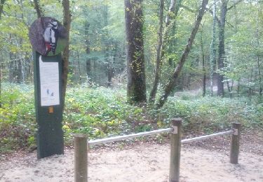
Départ camping Dole. Belle forêt de chênes peu de dénivelé.
Localizzazione
Paese:
France
Regione :
Borgogna-Franca Contea
Dipartimento/Provincia :
Giura
Comune :
Dole
Località :
Unknown
Partenza:(Dec)
Partenza:(UTM)
689982 ; 5218151 (31T) N.
Commenti
Percorsi nelle vicinanze
Mont Roland 11.7km 20161215
Marcia
Molto facile
(2)
Jouhe,
Borgogna-Franca Contea,
Giura,
France
3h 18min
Sì
Sentier des Sources
A piedi
Facile
Falletans,
Borgogna-Franca Contea,
Giura,
France
5,9 km | 7,4 km-effort
1h 40min
Sì
Via Cluny: de Dole (Jura) à Cluny
Marcia
Molto difficile
Dole,
Borgogna-Franca Contea,
Giura,
France
360 km | 478 km-effort
108h 38min
No
mn05
Bici da strada
Molto difficile
Dole,
Borgogna-Franca Contea,
Giura,
France
58 km | 63 km-effort
7h 44min
No
muguet confinement
Marcia
Facile
Dole,
Borgogna-Franca Contea,
Giura,
France
8 km | 9 km-effort
2h 16min
Sì
g)Etapa 7
Marcia
Facile
Jouhe,
Borgogna-Franca Contea,
Giura,
France
26 km | 31 km-effort
2h 4min
No
Sentier des chênes rouges
Marcia
Facile
Dole,
Borgogna-Franca Contea,
Giura,
France
11,6 km | 13,7 km-effort
3h 47min
Sì
Bletterans
Bicicletta
Difficile
Dole,
Borgogna-Franca Contea,
Giura,
France
125 km | 138 km-effort
6h 11min
Sì