14,8 km | 27 km-effort
A la recherche des trois contes
masseronmichel
Utente
Lunghezza
8,6 km
Altitudine massima
537 m
Dislivello positivo
277 m
Km-Effort
12,3 km
Altitudine minima
364 m
Dislivello negativo
278 m
Boucle
Sì
Data di creazione :
2023-06-12 15:15:40.628
Ultima modifica :
2023-06-16 19:55:35.597
0m
Difficoltà : Molto facile
Applicazione GPS da escursionismo GRATUITA
Chi siamo
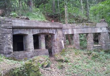
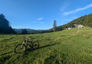
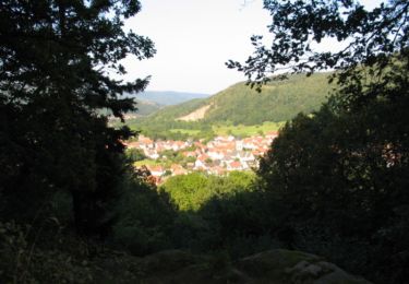
Percorso Geocaching di 8,6 km da scoprire a Grande Est, Haut-Rhin, Munster. Questo percorso è proposto da masseronmichel.
Localizzazione
Paese:
France
Regione :
Grande Est
Dipartimento/Provincia :
Haut-Rhin
Comune :
Munster
Località :
Unknown
Partenza:(Dec)
Partenza:(UTM)
360820 ; 5322062 (32U) N.
Commenti
Percorsi nelle vicinanze
De Munster aux 3 Fours (Aller) - Munster
Marcia
Difficile
(1)
Munster,
Grande Est,
Haut-Rhin,
France
5h 0min
No
Circuit historique 1914-18 Hohrodberg - Linge
Marcia
Medio
(1)
Hohrod,
Grande Est,
Haut-Rhin,
France
14 km | 19,8 km-effort
5h 50min
Sì
Tour du Gaschney par le Sattel
Mountainbike
Difficile
(1)
Metzeral,
Grande Est,
Haut-Rhin,
France
25 km | 37 km-effort
2h 32min
Sì
19.06.13.Munster
Marcia
Molto facile
(1)
Munster,
Grande Est,
Haut-Rhin,
France
7,3 km | 10,6 km-effort
2h 10min
Sì
Sentier des Névés
Mountainbike
Molto difficile
(1)
Metzeral,
Grande Est,
Haut-Rhin,
France
33 km | 52 km-effort
6h 0min
Sì
Le petit Hohnack - verkort (23)
Equitazione
Facile
(1)
Gunsbach,
Grande Est,
Haut-Rhin,
France
13,1 km | 18,4 km-effort
2h 25min
Sì
2022-12-27 Marche Soultzeren Lac Forlet Hautes Huttes Glasborn
Marcia
Molto difficile
Soultzeren,
Grande Est,
Haut-Rhin,
France
21 km | 34 km-effort
5h 47min
Sì
2018-08-26 Picnic CVA Cascades Stosswihr
Equitazione
Facile
Stosswihr,
Grande Est,
Haut-Rhin,
France
19,2 km | 29 km-effort
3min
Sì
Hohrodberg - Le Linge
Marcia
Facile
(2)
Hohrod,
Grande Est,
Haut-Rhin,
France
6,5 km | 10,3 km-effort
2h 2min
Sì