7,7 km | 9,8 km-effort
La Graverie - Romagny Fontenay
Patrick Champagneur
Utente
Lunghezza
53 km
Altitudine massima
305 m
Dislivello positivo
680 m
Km-Effort
62 km
Altitudine minima
84 m
Dislivello negativo
624 m
Boucle
No
Data di creazione :
2023-06-01 07:03:55.0
Ultima modifica :
2023-06-01 14:22:09.217
Applicazione GPS da escursionismo GRATUITA
Chi siamo
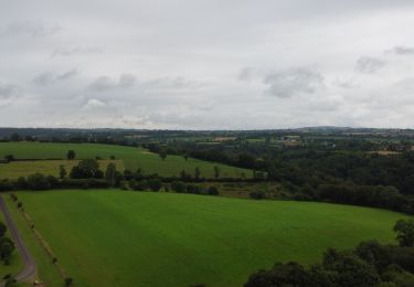
Percorso di 53 km da scoprire a Normandia, Calvados, Souleuvre-en-Bocage. Questo percorso è proposto da Patrick Champagneur.
Descrizione
Voie Verte
Localizzazione
Paese:
France
Regione :
Normandia
Dipartimento/Provincia :
Calvados
Comune :
Souleuvre-en-Bocage
Località :
La Graverie
Partenza:(Dec)
Partenza:(UTM)
655112 ; 5417799 (30U) N.
Commenti
Percorsi nelle vicinanze
Vélomaritime_Cherbourg_Caen_#J6_20210710_Le_Bény-Bocage_-_Baron-sur-Odon
Cicloturismo
Molto facile
Souleuvre-en-Bocage,
Normandia,
Calvados,
France
64 km | 75 km-effort
Sconosciuto
No
le beny bocage
Marcia
Molto facile
Souleuvre-en-Bocage,
Normandia,
Calvados,
France
3,6 km | 5,2 km-effort
2h 2min
No
Le Beny Bocage petit parcours
Marcia
Medio
Souleuvre-en-Bocage,
Normandia,
Calvados,
France
6,5 km | 8,4 km-effort
1h 54min
Sì
beny bocagereperage
Marcia
Difficile
Souleuvre-en-Bocage,
Normandia,
Calvados,
France
11,2 km | 14,2 km-effort
3h 10min
Sì
Le Beny Bocage
Marcia
Difficile
Souleuvre-en-Bocage,
Normandia,
Calvados,
France
11 km | 13,9 km-effort
3h 7min
Sì
BENY BOCAGE
Marcia
Difficile
Souleuvre-en-Bocage,
Normandia,
Calvados,
France
11,3 km | 14,3 km-effort
3h 11min
Sì
beny02
A piedi
Facile
Souleuvre-en-Bocage,
Normandia,
Calvados,
France
11,5 km | 15,1 km-effort
3h 20min
Sì
beny01
A piedi
Facile
Souleuvre-en-Bocage,
Normandia,
Calvados,
France
9,8 km | 13,7 km-effort
3h 10min
Sì