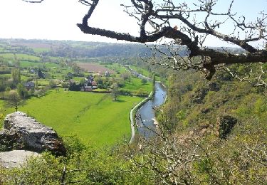
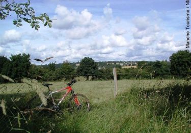
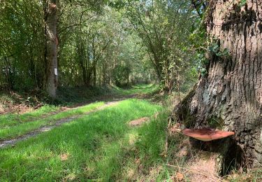
10,9 km | 13,4 km-effort
rando chapelle roche du ham
Morel
Utente
Lunghezza
10,7 km
Altitudine massima
111 m
Dislivello positivo
167 m
Km-Effort
12,9 km
Altitudine minima
25 m
Dislivello negativo
167 m
Boucle
Sì
Data di creazione :
2023-03-31 08:15:26.359
Ultima modifica :
2023-03-31 10:40:20.53
2h24
Difficoltà : Molto facile
Applicazione GPS da escursionismo GRATUITA
Chi siamo
Percorso Camminata nordica di 10,7 km da scoprire a Normandia, Manche, Tessy-Bocage. Questo percorso è proposto da Morel .
Localizzazione
Paese:
France
Regione :
Normandia
Dipartimento/Provincia :
Manche
Comune :
Tessy-Bocage
Località :
Fervaches
Partenza:(Dec)
Partenza:(UTM)
641770 ; 5429817 (30U) N.
Commenti
Percorsi nelle vicinanze
Roches de ham
Marcia
Facile
(1)
Condé-sur-Vire,
Normandia,
Manche,
France
11,1 km | 13,5 km-effort
2h 58min
Sì
Au coeur de la vallée de la Vire
Mountainbike
Difficile
(2)
Domjean,
Normandia,
Manche,
France
32 km | 39 km-effort
4h 0min
Sì
CondéSurVire
sport
Molto facile
(1)
Condé-sur-Vire,
Normandia,
Manche,
France
19,7 km | 23 km-effort
Sconosciuto
Sì
Rando gorge de la Vire
Marcia
Facile
Domjean,
Normandia,
Manche,
France
35 km | 42 km-effort
10h 25min
Sì
Tessy-sur-Vire - C 13-V
Marcia
Facile
Tessy-Bocage,
Normandia,
Manche,
France
3,4 km | 4,1 km-effort
1h 0min
Sì
Tessy-sur-Vire - C 13-II
Mountainbike
Facile
Tessy-Bocage,
Normandia,
Manche,
France
8,8 km | 10,5 km-effort
1h 0min
Sì
Tessy-sur-Vire - C 13-II
Marcia
Medio
Tessy-Bocage,
Normandia,
Manche,
France
8,8 km | 10,5 km-effort
2h 15min
Sì
Tessy-sur-Vire - C 13-I
Marcia
Facile
Tessy-Bocage,
Normandia,
Manche,
France
3,6 km | 4,7 km-effort
1h 0min
Sì