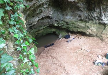
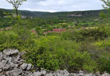
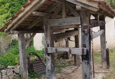
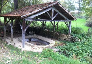
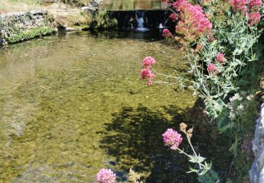
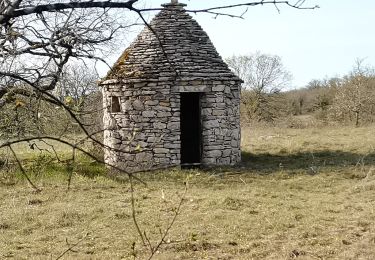
11,7 km | 16,3 km-effort
randos cancer Reyrevigne.
gcournac
Utente
Lunghezza
11,2 km
Altitudine massima
384 m
Dislivello positivo
158 m
Km-Effort
13,3 km
Altitudine minima
323 m
Dislivello negativo
158 m
Boucle
Sì
Data di creazione :
2022-10-30 07:57:50.525
Ultima modifica :
2022-10-30 10:52:22.059
2h41
Difficoltà : Difficile
Applicazione GPS da escursionismo GRATUITA
Chi siamo
Percorso Marcia di 11,2 km da scoprire a Occitania, Lot, Reyrevignes. Questo percorso è proposto da gcournac.
Descrizione
belle rando à revoir pour le clubs.
Localizzazione
Paese:
France
Regione :
Occitania
Dipartimento/Provincia :
Lot
Comune :
Reyrevignes
Località :
Unknown
Partenza:(Dec)
Partenza:(UTM)
412955 ; 4944862 (31T) N.
Commenti
Percorsi nelle vicinanze
Rando VTT 17km autour de Reyrevignes
Marcia
Molto difficile
(1)
Reyrevignes,
Occitania,
Lot,
France
15,9 km | 19,1 km-effort
4h 20min
Sì
Le causse par lacoste
Marcia
Molto facile
(1)
Corn,
Occitania,
Lot,
France
8,4 km | 11,7 km-effort
2h 38min
Sì
Sainte Eulalie Crayssac
Marcia
Molto facile
Corn,
Occitania,
Lot,
France
11,7 km | 16,6 km-effort
3h 31min
Sì
Corn Mas de Léret
Marcia
Molto facile
Corn,
Occitania,
Lot,
France
4,1 km | 5,8 km-effort
1h 43min
Sì
Reyrevignes et ses lavoirs
Marcia
Facile
(1)
Reyrevignes,
Occitania,
Lot,
France
7,9 km | 9,4 km-effort
2h 3min
Sì
fontaine de crayssac
Marcia
Molto facile
Corn,
Occitania,
Lot,
France
11,7 km | 16,2 km-effort
3h 32min
Sì
Mas de Fayssettes
Marcia
Molto facile
(1)
Corn,
Occitania,
Lot,
France
7,9 km | 10,3 km-effort
2h 37min
Sì